Old Maps of Hartsville, South Carolina for Metal Detecting
Plan your next treasure hunt with 24 historic maps of Hartsville. Find old homesites, ghost towns, trails, and gathering spots that may be lost to time — perfect for identifying promising metal detecting locations.
- Locate forgotten sites: Uncover places like long-lost settlements, abandoned rail lines, or gathering spots.
- Plan better hunts: Use map overlays combined with LiDAR or satellite views to narrow in on historically rich areas.
- Made for detectorists: Thousands of hobbyists use these maps to discover relics, coins, and hidden history.
Use these historic maps to boost your research and find new opportunities beneath the surface of Hartsville.
Hartsville, SC maps
(24)- 1941 Map of Spartanburg
 1941 Spartanburg1941 Print · USGSSouth Carolina’s Piedmont and Sandhills regions are shown here during the mid-century peak of the rail era. Researchers can trace the sprawling Fort Jackson Military Reservation and the industrial growth of hubs like Spartanburg and Rock Hill.
 - 1953 Map of Spartanburg, 1966 Print
 1953 Spartanburg1966 Print · USGSMid-century South Carolina comes into focus through this survey of the Piedmont and the Sand Hills at a time of significant reservoir expansion. Researchers can trace the legacy of industrial transit and resource extraction from the Haile Gold Mine to the rail hubs of the Seaboard Air Line.4 unique versions available
 - 1960 Map of Spartanburg
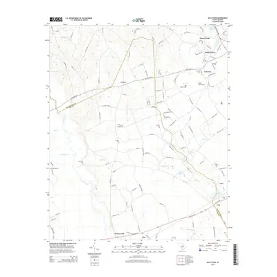
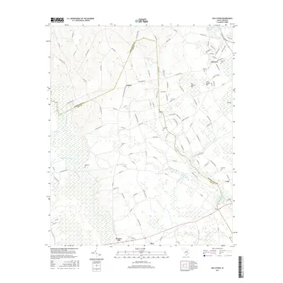
 1960 Spartanburg1960 Print · USGSThe South Carolina Piedmont and North Carolina borderlands come alive in this mid-century survey of the region between Spartanburg and Columbia. Researchers can trace the Seaboard Air Line railroad and explore landmarks like Anderson Quarry, Lake Murray, and Mount Croghan.2 unique versions available
 - 1963 Map of Spartanburg
 1963 Spartanburg1963 Print · USGSMid-century South Carolina comes alive in this survey, showing the rail-linked corridor between the Upstate and the Midlands. Genealogists can trace family lands near old hubs like Union and Lancaster, or along the banks of the Broad River and Pee Dee River.
 - 1964 Map of Spartanburg
 1964 Spartanburg1964 Print · USGSMid-century South Carolina comes alive in this survey of the Piedmont and Upcountry, stretching from the Blue Ridge foothills to the Sandhills. Genealogists and historians can trace the rail-and-river economy through Monarch Mills, Glenn Springs, and the Southern Railway corridor.
 - 1968 Map of Hartsville North, 1970 Print
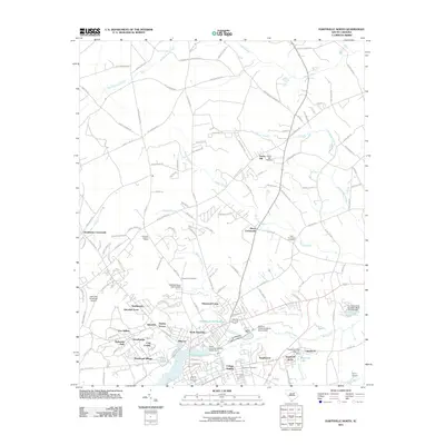
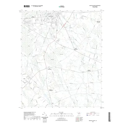
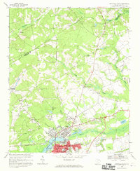 1968 Hartsville North1970 Print · USGSDarlington County's industrial and academic hub is captured here in the late sixties, showing the growth of Hartsville near Lake Prestwood. Genealogists can locate family landmarks like Old Kilgore Millpond, Coker College, and the rural New Providence Ch.
 - 1968 Map of Kellytown, 1971 Print
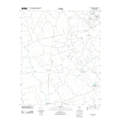
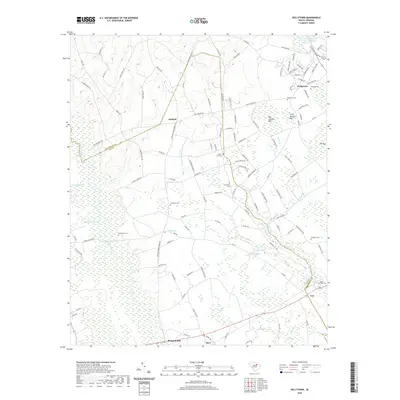
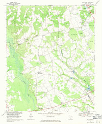 1968 Kellytown1971 Print · USGSCoastal plain communities in Darlington and Lee counties are captured here in the late sixties, just as the rural landscape was maturing. Researchers can trace family history through sites like Westview Cem, Stokes Bridge, and numerous local churches from Ashland Ch to Mt Elon Ch.
 - 1968 Map of Hartsville South, 1971 Print
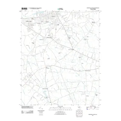
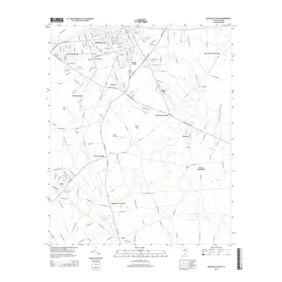
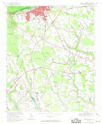 1968 Hartsville South1971 Print · USGSDarlington County's rural crossroads and urban fringes are frozen in time here during the late sixties. Researchers can locate family-named sites like Flinns Crossroads and Polson Crossroads, or trace ancestral ties to St Johns Ch and Magnolia Cem.
 - 1986 Map of Camden South
 1986 Camden South1986 Print · USGSThe South Carolina midlands come into focus in the mid-eighties, showing the sprawling corridors between the Wateree and Lynches Rivers. Genealogists and historians can trace family roots through numerous mill sites and rural junctions like Boykin, Lucknow, and Hermitage Mill Pond.4 unique versions available
 - 2011 Map of Hartsville North, 2011 Print
 2011 Hartsville North2011 Print · USGSCovers Hartsville, including Dunlap Terrace, Fox Hollow, and other nearby areas
 - 2011 Map of Kellytown, 2011 Print
 2011 Kellytown2011 Print · USGSCovers Hartsville, including Kellytown, Alcot, and other nearby areas
 - 2011 Map of Hartsville South, 2011 Print
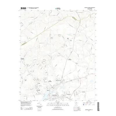
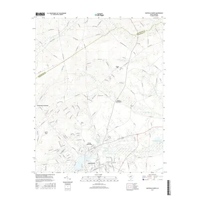
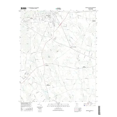
 2011 Hartsville South2011 Print · USGSCovers Hartsville, including Georgia Estates, Erwin Park, and other nearby areas
 - 2014 Map of Hartsville South, 2014 Print
 2014 Hartsville South2014 Print · USGSCovers Hartsville, including Georgia Estates, Erwin Park, and other nearby areas
 - 2014 Map of Hartsville North, 2014 Print
 2014 Hartsville North2014 Print · USGSCovers Hartsville, including Dunlap Terrace, Fox Hollow, and other nearby areas
 - 2014 Map of Kellytown, 2014 Print
 2014 Kellytown2014 Print · USGSCovers Hartsville, including Kellytown, Alcot, and other nearby areas
 - 2017 Map of Kellytown, 2017 Print
 2017 Kellytown2017 Print · USGSCovers Hartsville, including Kellytown, Alcot, and other nearby areas
 - 2017 Map of Hartsville North, 2017 Print
 2017 Hartsville North2017 Print · USGSCovers Hartsville, including Dunlap Terrace, Fox Hollow, and other nearby areas
 - 2017 Map of Hartsville South, 2017 Print
 2017 Hartsville South2017 Print · USGSCovers Hartsville, including Georgia Estates, Erwin Park, and other nearby areas
 - 2020 Map of Hartsville South, 2020 Print
 2020 Hartsville South2020 Print · USGSCovers Hartsville, including Georgia Estates, Erwin Park, and other nearby areas
 - 2020 Map of Hartsville North, 2020 Print
 2020 Hartsville North2020 Print · USGSCovers Hartsville, including Dunlap Terrace, Fox Hollow, and other nearby areas
 - 2020 Map of Kellytown, 2020 Print
 2020 Kellytown2020 Print · USGSCovers Hartsville, including Kellytown, Alcot, and other nearby areas
 - 2024 Map of Hartsville South, 2024 Print
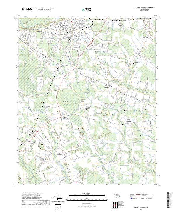 2024 Hartsville South2024 Print · USGSDarlington County at the present day reveals a landscape where the urban grid of Hartsville gives way to a network of rural crossroads and Carolina bays. Genealogists can trace family roots through numerous burial sites like Norwood Cem and the Church In The Lord Church Graveyard.
 - 2024 Map of Hartsville North, 2024 Print
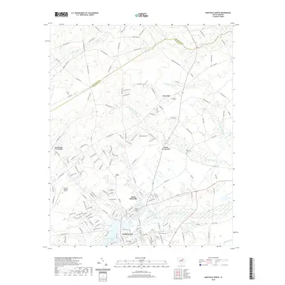
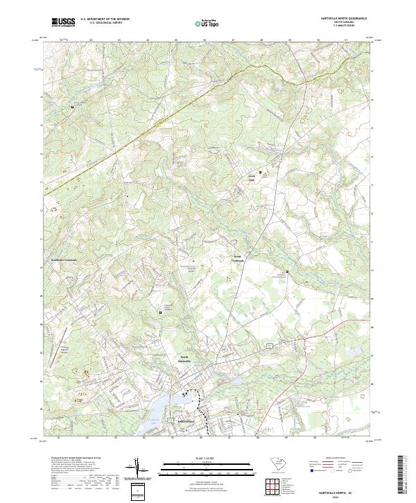 2024 Hartsville North2024 Print · USGSDarlington County and the northern outskirts of Hartsville appear in this contemporary look at the Piedmont region. Researchers can trace historic family burial sites at Damascus Church Graveyard and find the legacy of early industry at Old Kilgore Millpond.
 - 2024 Map of Kellytown, 2024 Print
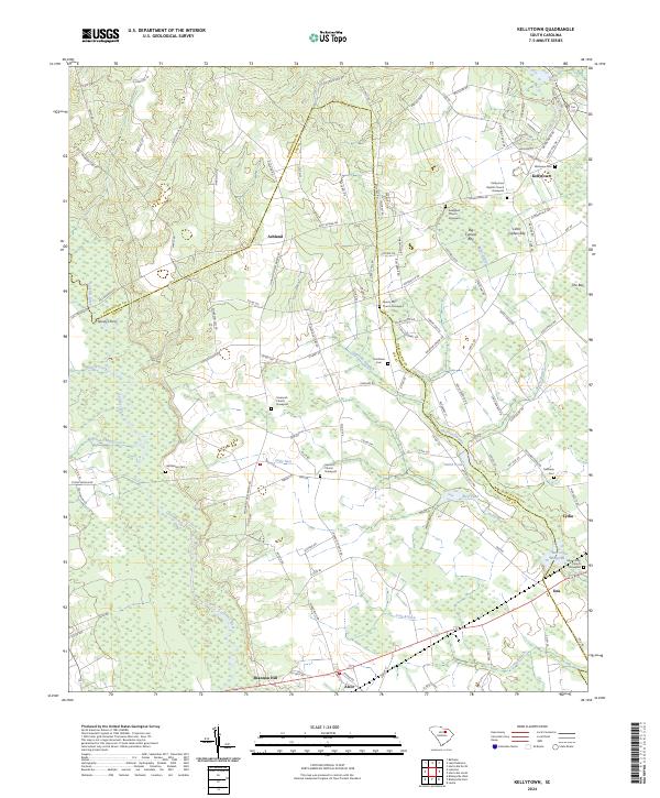 2024 Kellytown2024 Print · USGSLee and Darlington counties are shown here in modern detail, where the Lynches River valley meets the unique wetland topography of the Carolina bays. Researchers can locate many family-named landmarks and rural cemeteries, including Grantham Cem, Bethlehem Cem, and the crossing at Spiveys Ferry.
End of results
Showing maps 1-24 of 24
Top cities near Hartsville
- Florence historical maps
- Darlington historical maps
- Bishopville historical maps
- Timmonsville historical maps
- Lamar historical maps
- McBee historical maps
See more
Top neighborhoods of Hartsville
- Kalmia Place historical maps
- Pine Acres historical maps
- College Heights historical maps
- Hillcrest historical maps
- South Park historical maps
- Glen Acres historical maps
See more
Frequently asked questions
- What are the different types of historical maps available for Hartsville?
- What is the oldest map of Hartsville?
- Where can I purchase historical maps of Hartsville for my home or office?
- Where can I download high-res historical maps of Hartsville?
- Are there historical topographic maps available for Hartsville?
- Is there historical aerial imagery available for Hartsville?
- Where are historical maps of Hartsville sourced from?