Old Maps of Spring Acres, South Carolina for Academic Research
Study the evolution of Spring Acres with 9 high-resolution historic maps. Whether you're teaching, researching, or modeling changes in land use, these maps provide essential visual documentation of urban, environmental, and geographic change.
- Analyze long-term change: Track patterns in development, transportation, and natural features.
- Ideal for environmental or urban studies: Support academic projects with primary historical map data.
- Use in the classroom or lab: Educators and researchers rely on these maps to bring historical context to life.
These maps are a powerful tool for teaching, research, and visualizing how Spring Acres has changed over the decades.
Spring Acres, SC maps
(9)- 1953 Map of Florence, 1964 Print
 1953 Florence1964 Print · USGSThe Carolina borderlands in the mid-fifties were a landscape of vast river swamps and rising rail towns. Trace the legacy of the Seaboard Air Line through Florence or explore the wetlands surrounding Lake Waccamaw and the Green Swamp.3 unique versions available
 - 1954 Map of Florence
 1954 Florence1954 Print · USGSThe Carolinas borderlands come alive in the early fifties, showing the vital rail-and-river networks of the coastal plain. Genealogists can trace family footprints across the Green Swamp or through settlements like Red Springs, Chadbourn, and McColl.
 - 1963 Map of Darlington West, 1965 Print
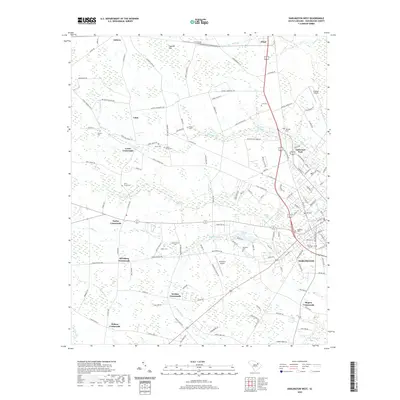
 1963 Darlington West1965 Print · USGSDarlington and its western rural hinterlands are captured in the early sixties as the region transitioned from a rail-dependent landscape to an automotive one. Researchers can trace historic family crossroads and sites like the Darlington Raceway, McCowns Millpond, and Earlys Crossroads.2 unique versions available
 - 1983 Map of Florence, 1985 Print
 1983 Florence1985 Print · USGSThe Pee Dee region in the early eighties shows a landscape shaped by river commerce and rail expansion. Researchers can trace historic river crossings at Galivants Ferry or locate vanished rail stops like Willow Creek Siding and Blue Brick.
 - 2011 Map of Darlington West, 2011 Print
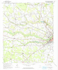
 2011 Darlington West2011 Print · USGSCovers Spring Acres, including Darlington, Brockington Heights, and other nearby areas
 - 2014 Map of Darlington West, 2014 Print
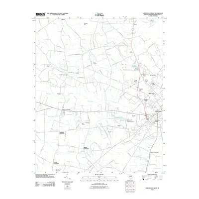
 2014 Darlington West2014 Print · USGSCovers Spring Acres, including Darlington, Brockington Heights, and other nearby areas
 - 2017 Map of Darlington West, 2017 Print
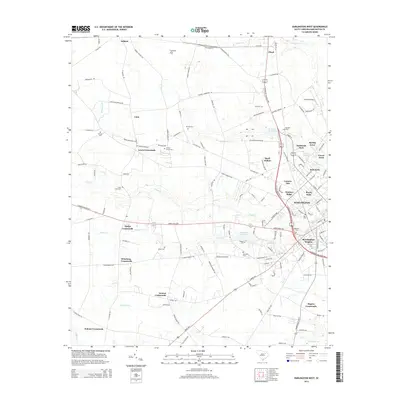
 2017 Darlington West2017 Print · USGSCovers Spring Acres, including Darlington, Brockington Heights, and other nearby areas
 - 2020 Map of Darlington West, 2020 Print
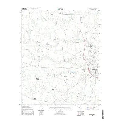
 2020 Darlington West2020 Print · USGSCovers Spring Acres, including Darlington, Brockington Heights, and other nearby areas
 - 2024 Map of Darlington West, 2024 Print
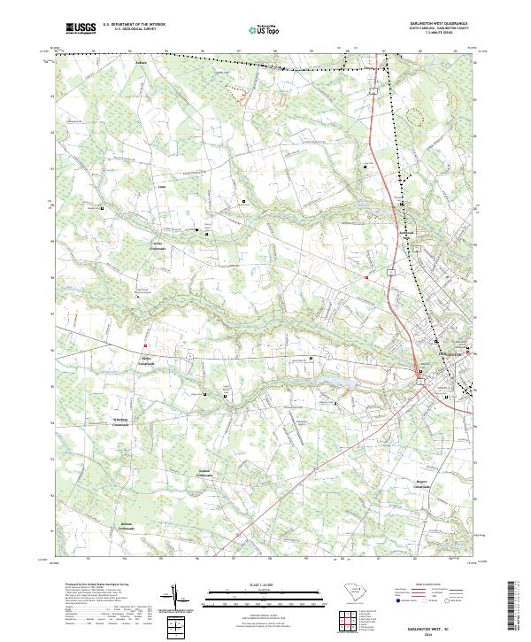 2024 Darlington West2024 Print · USGSDarlington and its rural environs are documented here in the early twenty-first century, showing the transition from town to coastal plain farmland. Researchers can trace family history through numerous sites like Old Methodist Church Graveyard, Indian Branch Cem, and the many crossroads communities.
End of results
Showing maps 1-9 of 9
Top cities near Spring Acres
- Florence historical maps
- Hartsville historical maps
- Darlington historical maps
- Timmonsville historical maps
- Lamar historical maps
- Quinby historical maps
See more
Frequently asked questions
- What are the different types of historical maps available for Spring Acres?
- What is the oldest map of Spring Acres?
- Where can I purchase historical maps of Spring Acres for my home or office?
- Where can I download high-res historical maps of Spring Acres?
- Are there historical topographic maps available for Spring Acres?
- Is there historical aerial imagery available for Spring Acres?
- Where are historical maps of Spring Acres sourced from?