Old Maps of Wachovia Hills, South Carolina for Hiking & Exploration
Hike through history with 10 historic maps of Wachovia Hills. Explore old trails, ghost towns, and forgotten backroads — perfect for outdoor adventurers and local explorers.
- Rediscover forgotten places: Map out old mining camps, roads, and footpaths that no longer exist on modern maps.
- Layer with modern tools: Combine with LiDAR or satellite views to plan hikes through historical terrain.
- Made for exploration: Popular among hikers, overlanders, and local history lovers.
Use these maps to find adventure and explore the hidden past of Wachovia Hills.
Wachovia Hills, SC maps
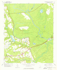
(10)- 1943 Map of Gum Swamp
 1943 Gum Swamp1943 Print · USGSCoastal plain settlements and river islands define the Pee Dee region during the early years of World War II. Researchers can locate rural hubs like Bethea Cross Roads and trace family history through landmarks like Lower Marlboro High School and Annarate Church.2 unique versions available
 - 1953 Map of Florence, 1964 Print
 1953 Florence1964 Print · USGSThe Carolina borderlands in the mid-fifties were a landscape of vast river swamps and rising rail towns. Trace the legacy of the Seaboard Air Line through Florence or explore the wetlands surrounding Lake Waccamaw and the Green Swamp.3 unique versions available
 - 1954 Map of Florence
 1954 Florence1954 Print · USGSThe Carolinas borderlands come alive in the early fifties, showing the vital rail-and-river networks of the coastal plain. Genealogists can trace family footprints across the Green Swamp or through settlements like Red Springs, Chadbourn, and McColl.
 - 1972 Map of Witherspoon Island, 1976 Print
 1972 Witherspoon Island1976 Print · USGSThe Pee Dee River lowlands come to life in the early 1970s, showcasing the intricate water systems surrounding Witherspoon Island. Researchers can trace local family landmarks near Blacks, including Century Ch and Cem, or locate industrial sites like the Fish Hatchery.2 unique versions available
 - 1983 Map of Florence, 1985 Print
 1983 Florence1985 Print · USGSThe Pee Dee region in the early eighties shows a landscape shaped by river commerce and rail expansion. Researchers can trace historic river crossings at Galivants Ferry or locate vanished rail stops like Willow Creek Siding and Blue Brick.
 - 2011 Map of Witherspoon Island, 2011 Print
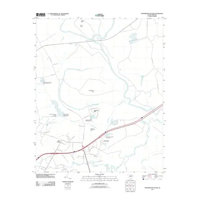 2011 Witherspoon Island2011 Print · USGSCovers Wachovia Hills, including Back Swamp, Darlington County, and other nearby areas
 - 2014 Map of Witherspoon Island, 2014 Print
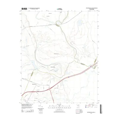 2014 Witherspoon Island2014 Print · USGSCovers Wachovia Hills, including Back Swamp, Darlington County, and other nearby areas
 - 2017 Map of Witherspoon Island, 2017 Print
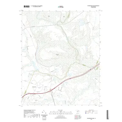
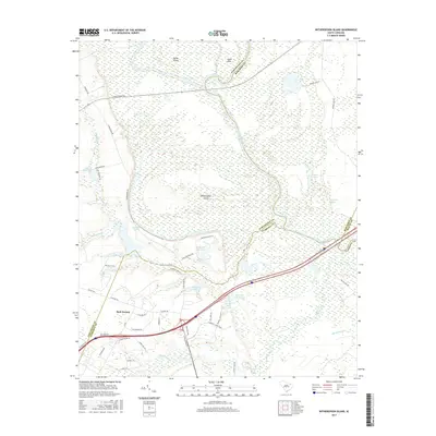 2017 Witherspoon Island2017 Print · USGSCovers Wachovia Hills, including Back Swamp, Darlington County, and other nearby areas
 - 2020 Map of Witherspoon Island, 2020 Print
 2020 Witherspoon Island2020 Print · USGSCovers Wachovia Hills, including Back Swamp, Darlington County, and other nearby areas
 - 2024 Map of Witherspoon Island, 2024 Print
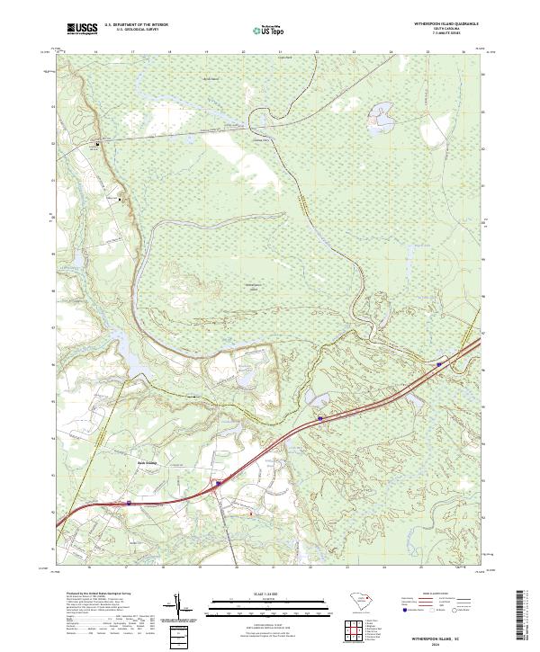 2024 Witherspoon Island2024 Print · USGSThe river plains of the Pee Dee region are shown in detail in this modern survey, covering the rural boundaries where four South Carolina counties meet. Researchers can trace old river crossings at Cashua Ferry and locate local family sites like Lowthers Hill Cem and Kelley Cem.
End of results
Showing maps 1-10 of 10
Top cities near Wachovia Hills
- Florence historical maps
- Darlington historical maps
- Quinby historical maps
- Society Hill historical maps
- Sellers historical maps
- Blenheim historical maps
Frequently asked questions
- What are the different types of historical maps available for Wachovia Hills?
- What is the oldest map of Wachovia Hills?
- Where can I purchase historical maps of Wachovia Hills for my home or office?
- Where can I download high-res historical maps of Wachovia Hills?
- Are there historical topographic maps available for Wachovia Hills?
- Is there historical aerial imagery available for Wachovia Hills?
- Where are historical maps of Wachovia Hills sourced from?