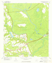
1972 Map of Witherspoon Island
USGS Topo · Published 1976About this map
The Pee Dee River carves a winding path through this corner of the South Carolina Pee Dee region, defining the borders of Darlington, Marlboro, and Florence Counties. At the heart of the waterway lies Witherspoon Island, a large landform surrounded by the river's main channel and the shifting waters of Back Swamp. This low-lying landscape is dominated by riverine features like Byrds Island and Rogers Lake, reflecting a terrain shaped by centuries of alluvial deposit and seasonal flooding.
Find a feature on this map
23 named features on this map. Tap any name to fly to it.
Don’t see what you’re looking for? This feature index may not catch every label — zoom into the map to look around manually.
Map Details
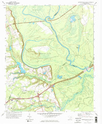
Editions of this 1972 Witherspoon Island Map
2 editions found
Other maps of this area

1940 · Florence West
USGS Topo · 1:62,500

1940 · Florence East
USGS Topo · 1:62,500

1943 · Gum Swamp
USGS Topo · 1:62,500

1945 · Florence East
USGS Topo · 1:62,500

1945 · Florence West
USGS Topo · 1:62,500

1953 · Florence
USGS Topo · 1:250,000

1954 · Florence
USGS Topo · 1:250,000

1963 · Mont Clare
USGS Topo · 1:24,000

1963 · Darlington East
USGS Topo · 1:24,000

1972 · Drake
USGS Topo · 1:24,000