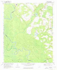
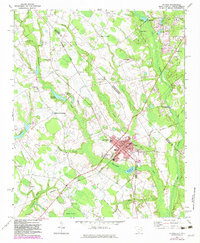
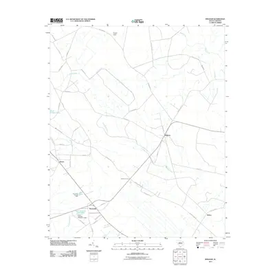
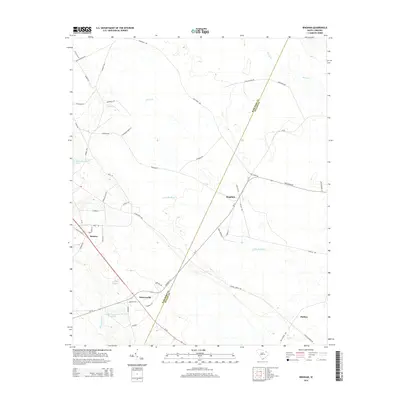
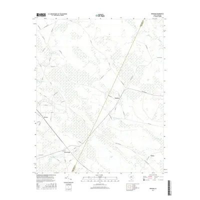
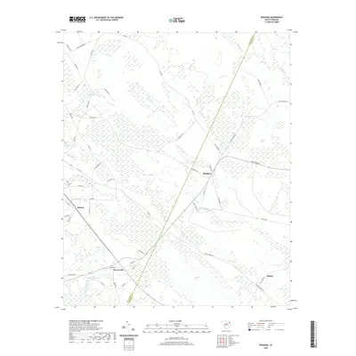
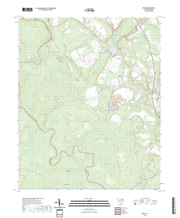
1972 Map of Drake
USGS Topo · Published 1975About this map
The Pee Dee River winds through the borderlands of Marlboro and Darlington Counties, defining a landscape dominated by riverine wetlands and agricultural clearings. During the early 1970s, the rural character of this region was anchored by small crossroads and a network of community churches, including Parnassus Ch and Antioch Ch. The settlement of Drake sits near Drakes Pond, while the smaller community of Genoa is positioned further south.
Find a feature on this map
24 named features on this map. Tap any name to fly to it.
Don’t see what you’re looking for? This feature index may not catch every label — zoom into the map to look around manually.
Map Details
Editions of this 1972 Drake Map
This is the sole edition of this map. No revisions or reprints were ever made.
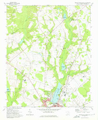
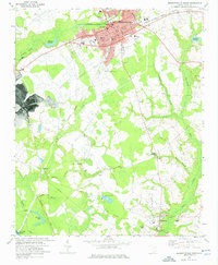
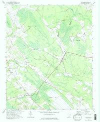
Historical Maps of Blenheim Through Time
27 maps found

1943 Gum Swamp
Marlboro County, SC
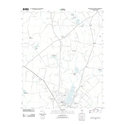
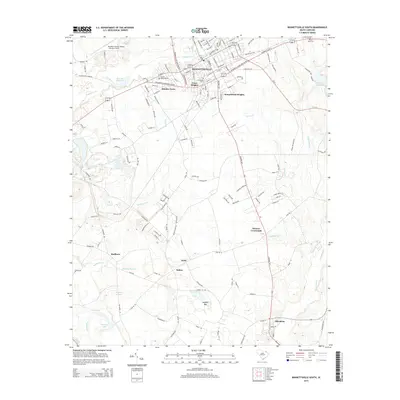
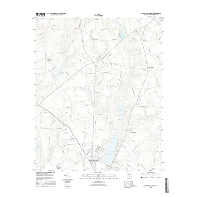
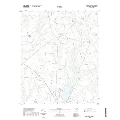
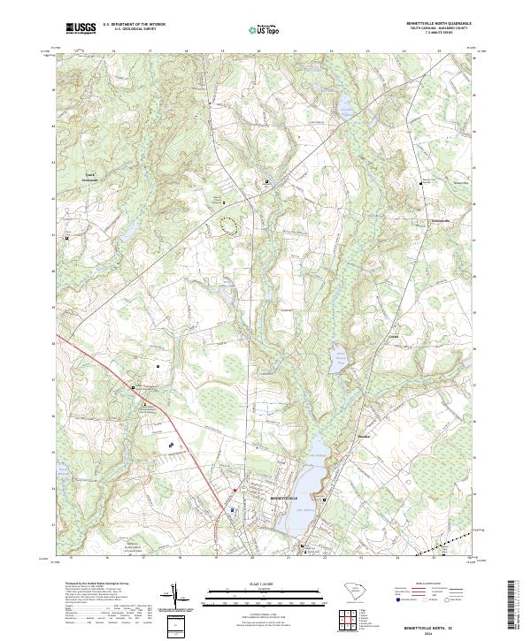
1972 Bennettsville North
Marlboro County, SC
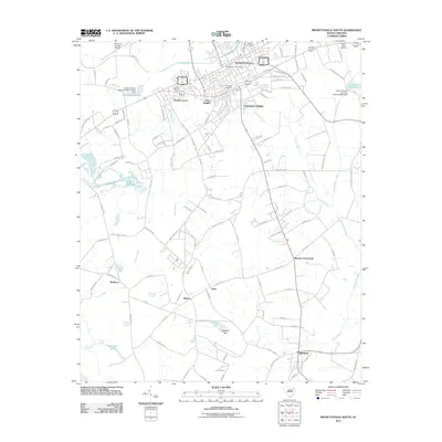
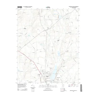
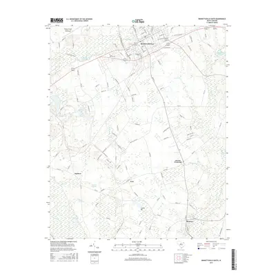
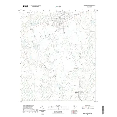
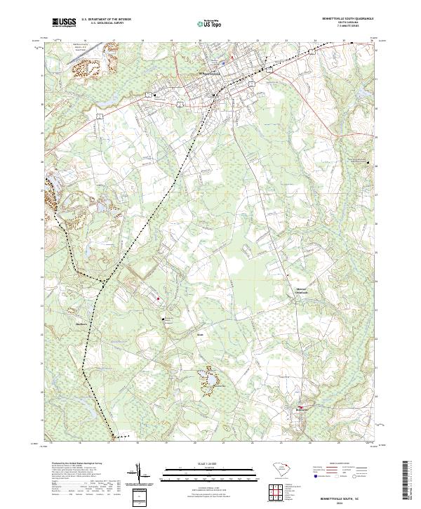
1972 Bennettsville South
Marlboro County, SC
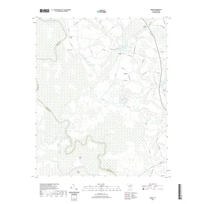
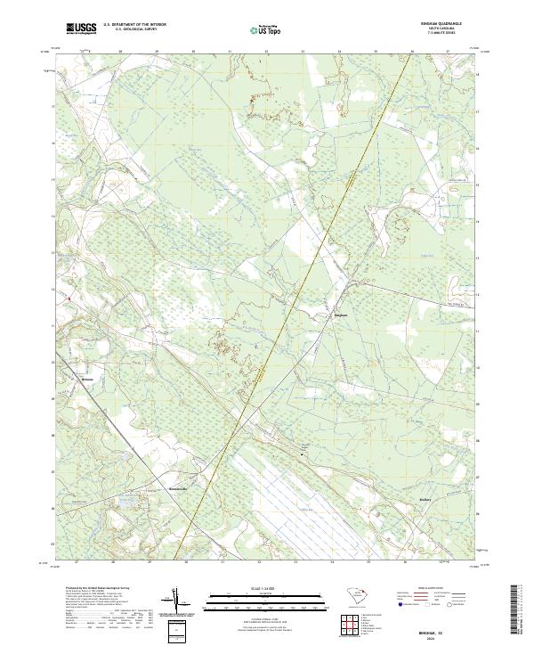
1972 Bingham
Marlboro County, SC
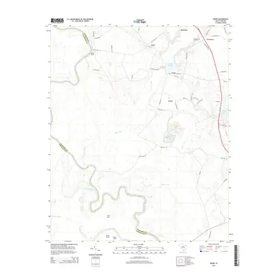
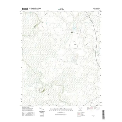
1972 Drake
Marlboro County, SC
1972 Mc Coll
Marlboro County, SC
1976 Mc Coll
Marlboro County, SC
2011 Bennettsville North
Marlboro County, SC
2011 Bennettsville South
Marlboro County, SC
2011 Bingham
Marlboro County, SC
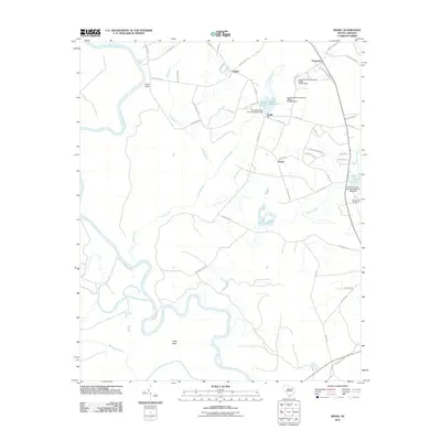
2011 Drake
Marlboro County, SC
2014 Bennettsville North
Marlboro County, SC
2014 Bennettsville South
Marlboro County, SC
2014 Bingham
Marlboro County, SC
2014 Drake
Marlboro County, SC
2017 Bennettsville North
Marlboro County, SC
2017 Bennettsville South
Marlboro County, SC
2017 Bingham
Marlboro County, SC
2017 Drake
Marlboro County, SC
2020 Bennettsville North
Marlboro County, SC
2020 Bennettsville South
Marlboro County, SC
2020 Bingham
Marlboro County, SC
2020 Drake
Marlboro County, SC
2024 Bennettsville North
Marlboro County, SC
2024 Bennettsville South
Marlboro County, SC
2024 Bingham
Marlboro County, SC
2024 Drake
Marlboro County, SC