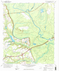
1972 Map of Witherspoon Island
USGS Topo · Published 1976About this map
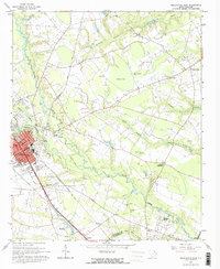
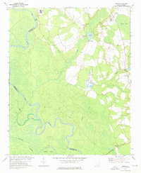
The Pee Dee River winds through a complex network of wetlands and lowlands in this early 1970s survey, marking the borders of Darlington, Marlboro, and Florence counties. The landscape is defined by its water systems, including the large Witherspoon Island and Byrds Island, which are hemmed in by secondary channels and the meandering Back Swamp. This era captures the intersection of traditional land use and mid-century infrastructure, where a Fish Hatchery and several sand and gravel pits operate near the modern corridor of highway 95. Local landmarks like Century Ch and a nearby Cem provide important points of reference for genealogists, while the presence of broadcast infrastructure, such as the Radio Tower (WBTW) and Radio Tower (WJPM), signals the region's role as a communications hub for the surrounding Pee Dee area.
Find a feature on this map
24 named features on this map. Tap any name to fly to it.
Don’t see what you’re looking for? This feature index may not catch every label — zoom into the map to look around manually.
Map Details
Editions of this 1972 Witherspoon Island Map
2 editions found
Other maps of this area
1940 · Florence West
USGS Topo · 1:62,500

1940 · Florence East
USGS Topo · 1:62,500

1943 · Gum Swamp
USGS Topo · 1:62,500

1945 · Florence East
USGS Topo · 1:62,500

1945 · Florence West
USGS Topo · 1:62,500

1953 · Florence
USGS Topo · 1:250,000

1954 · Florence
USGS Topo · 1:250,000
1963 · Mont Clare
USGS Topo · 1:24,000
1963 · Darlington East
USGS Topo · 1:24,000
1972 · Drake
USGS Topo · 1:24,000