2020s Maps of Dillon County, South Carolina
Explore 25 historic maps of Dillon County from the 2020s. These maps offer a rare glimpse into what life looked like during the 2020s — showing old roads, neighborhoods, homes, and landmarks that have changed or disappeared over time.
Whether you're researching your family's past, planning a metal detecting trip, or studying how Dillon County's landscape evolved across the 2020s, these high-resolution maps are a powerful tool for exploring the history of this region.
- Focus on a specific era: All maps on this page are from the 2020s, giving you a focused view of this time period.
- See what’s changed: Compare century-old streets, trails, and buildings to today's modern landscape using overlays and satellite layers.
- Research with precision: Use these maps for genealogy, historical research, land use analysis, or educational projects.
- View, download, or print: Maps are fully viewable online in high resolution, and can be downloaded or printed for your own records.
Start exploring Dillon County's history through authentic maps from the 2020s. This is your window into the past.
Dillon County, SC maps
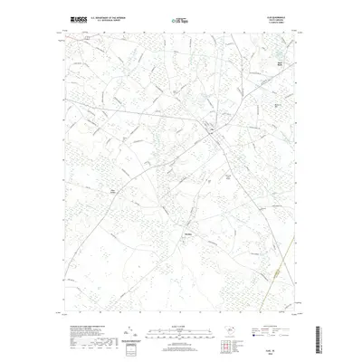
(25)- 2020 Map of Lake View, 2020 Print
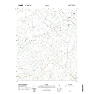 2020 Lake View2020 Print · USGSCovers Dillon County, including Lake View, Marietta, and other nearby areas
 - 2020 Map of Bingham, 2020 Print
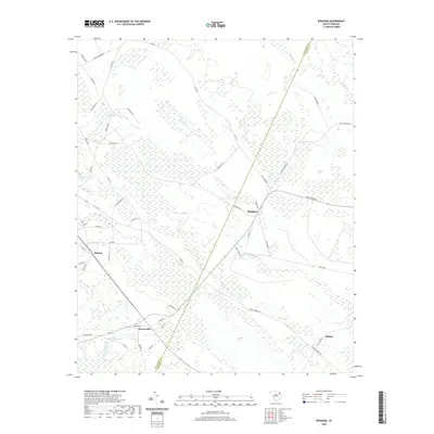 2020 Bingham2020 Print · USGSCovers Dillon County, including Bristow, Brownsville, and other nearby areas
 - 2020 Map of Dillon East, 2020 Print
 2020 Dillon East2020 Print · USGSCovers Dillon County, including Dillon, Hamer, and other nearby areas
 - 2020 Map of Latta, 2020 Print
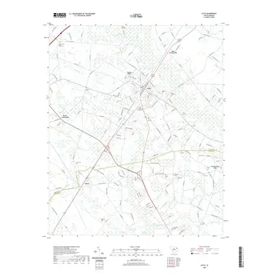 2020 Latta2020 Print · USGSCovers Dillon County, including Sellers, Bass Crossroads, and other nearby areas
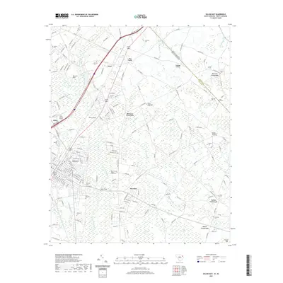
 - 2020 Map of Dillon West, 2020 Print
 2020 Dillon West2020 Print · USGSCovers Dillon County, including Dillon, Little Rock, and other nearby areas
 - 2020 Map of Clio, 2020 Print
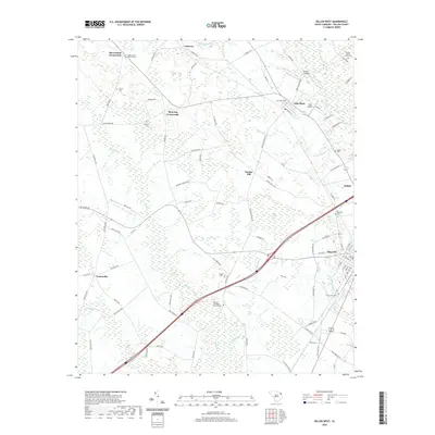
 2020 Clio2020 Print · USGSCovers Dillon County, including Clio, McDonald's, and other nearby areas
 - 2020 Map of Minturn, 2020 Print
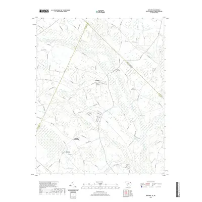 2020 Minturn2020 Print · USGSCovers Dillon County, including Minturn, Sinclair Crossroads, and other nearby areas
 - 2020 Map of Fork, 2020 Print
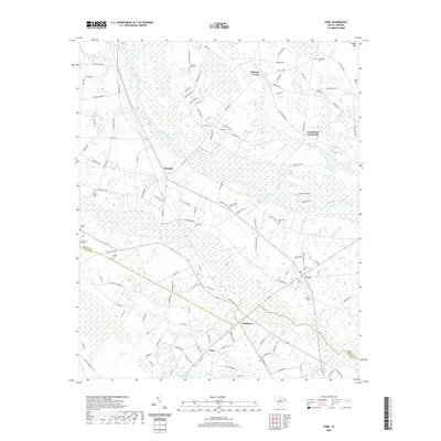 2020 Fork2020 Print · USGSCovers Dillon County, including Pittman Corner, Floydale, and other nearby areas
 - 2020 Map of Witherspoon Island, 2020 Print
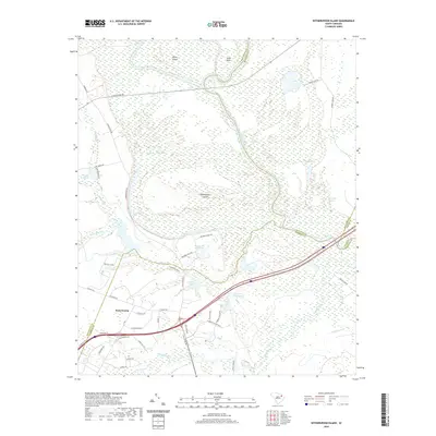 2020 Witherspoon Island2020 Print · USGSCovers Dillon County, including Back Swamp, Wachovia Hills, and other nearby areas
 - 2020 Map of Pee Dee, 2020 Print
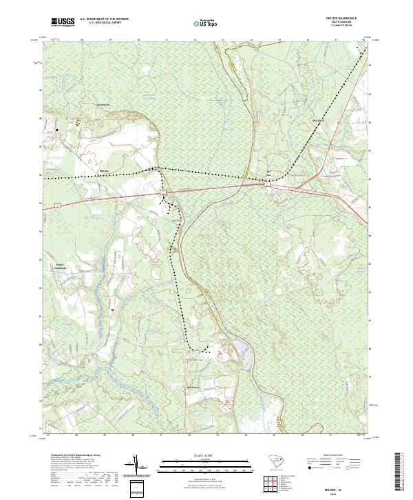
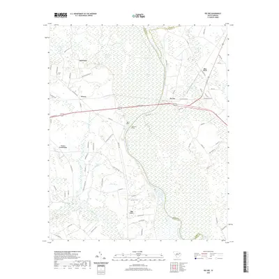 2020 Pee Dee2020 Print · USGSCovers Dillon County, including Oak Grove, Carter Landing, and other nearby areas
 - 2020 Map of Oak Grove, 2020 Print
 2020 Oak Grove2020 Print · USGSCovers Dillon County, including Oak Grove, Marion County, and other nearby areas
 - 2022 Map of Rowland, 2022 Print
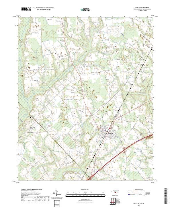 2022 Rowland2022 Print · USGSThe North Carolina-South Carolina border comes alive in this 2022 survey of the rural landscape near Rowland. Genealogists can trace local roots at Oakland United Methodist Church and family burial sites like Baker Cem or McCormick Cem.
 - 2022 Map of Fair Bluff, 2022 Print
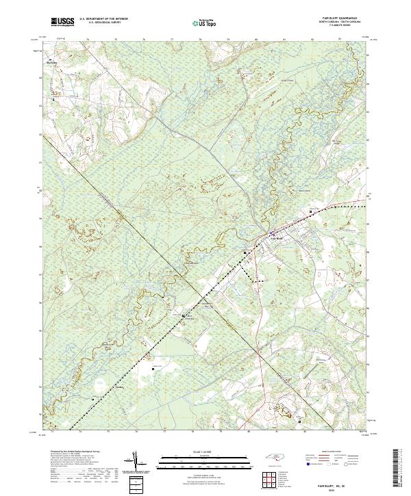 2022 Fair Bluff2022 Print · USGSThe Carolina borderlands along the Lumber River are documented here in detail as they appeared in the early 2020s. Researchers can trace family history through numerous local burial sites like Meares Cem and Powell Cem, or explore the unique geography of Barden Bay and Ashpole Swamp.
 - 2022 Map of Gaddysville, 2022 Print
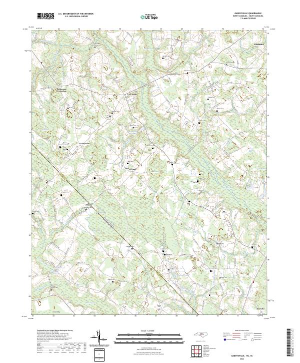 2022 Gaddysville2022 Print · USGSThe Robeson County borderlands and the community of Gaddysville are captured here as they appeared in the early 2020s. Genealogists and local historians can trace family roots through numerous burial sites like Mount Zion Baptist Church Cem and historic water landmarks such as Gaddys Millpond.
 - 2024 Map of Clio, 2024 Print
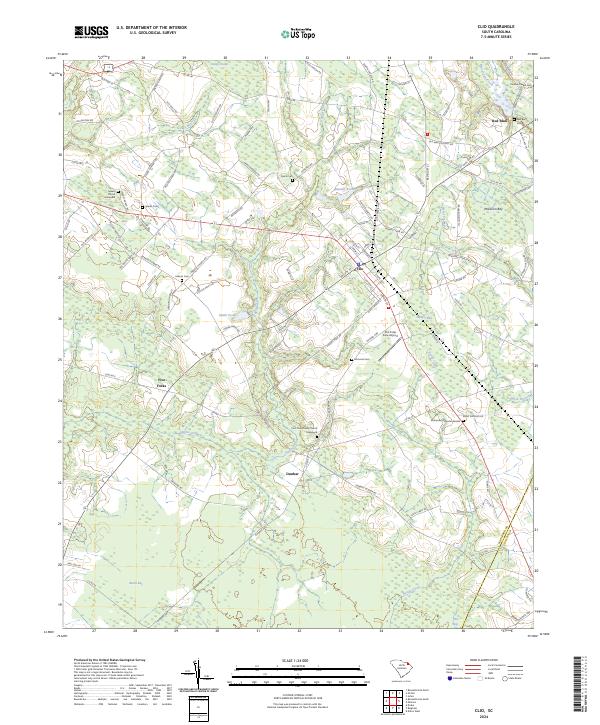 2024 Clio2024 Print · USGSThe crossroads of Marlboro and Dillon counties are captured here in the early 2020s, revealing a landscape of rural settlements and coastal plain wetlands. Genealogists can locate family landmarks like Spears Graveyard, Hebron Cem, and the small community of Dunbar.
 - 2024 Map of Minturn, 2024 Print
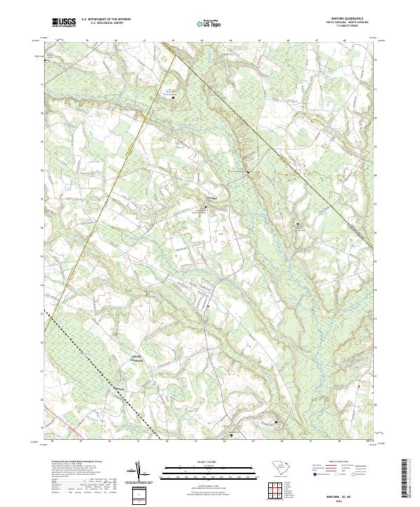 2024 Minturn2024 Print · USGSThe South Carolina and North Carolina borderlands come into focus in this contemporary survey of the Dillon County countryside. Genealogists can trace family footprints through numerous local landmarks, from Sinclair Crossroads to the Leland Grove Church Graveyard and Sherwood Cem.
 - 2024 Map of Fork, 2024 Print
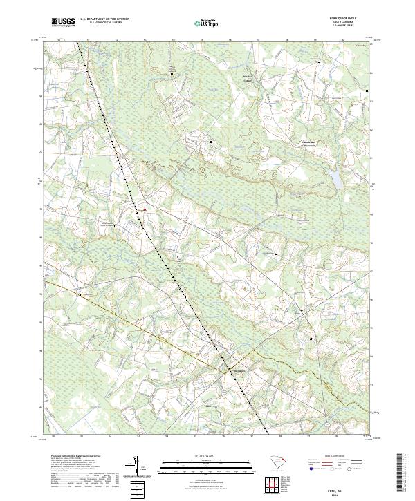 2024 Fork2024 Print · USGSDillon and Marion counties are captured here at the contemporary moment, showing a landscape deeply shaped by the Little Pee Dee River and its surrounding wetlands. Genealogists can trace numerous local burial sites including Hopewell Cem and Pee Dee Church Graveyard, while local historians will find the settlements of Fork and Floydale clearly documented.
 - 2024 Map of Oak Grove, 2024 Print
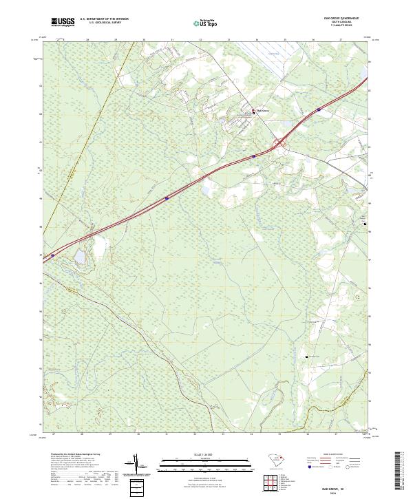 2024 Oak Grove2024 Print · USGSDillon County at the edge of the Pee Dee basin is shown here in contemporary detail, where farmland meets vast wetland systems. Researchers can trace family history at the Bethesda Southern Methodist Church Graveyard or locate old community sites near Haselden Cem and Gum Swamp.
 - 2024 Map of Lake View, 2024 Print
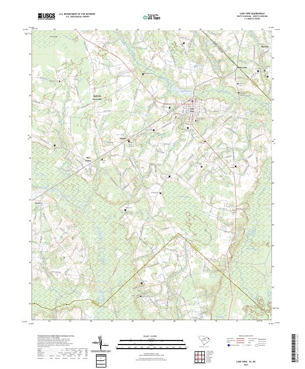 2024 Lake View2024 Print · USGSThe South Carolina borderlands near Lake View are revealed in this modern survey, showcasing a landscape defined by expansive swamps and rural crossroads. Family historians can trace numerous burial sites like Union Church Graveyard and Bear Swamp Baptist Church Cem.
 - 2024 Map of Bingham, 2024 Print
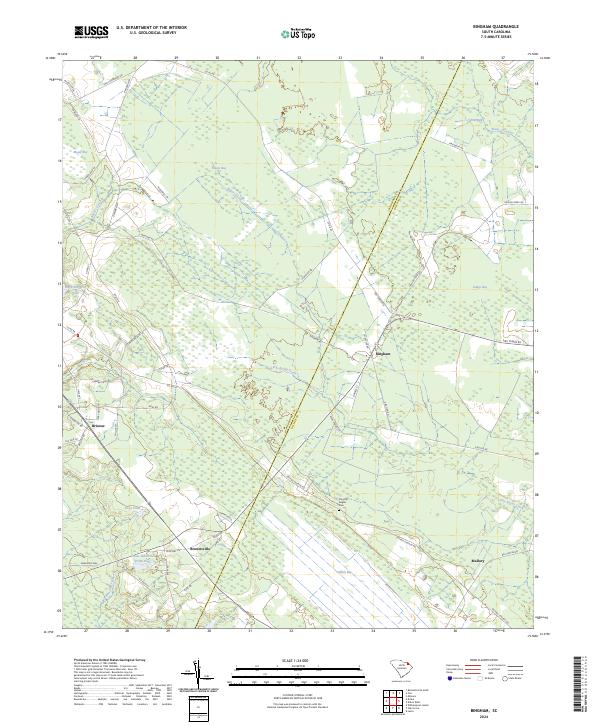 2024 Bingham2024 Print · USGSMarlboro County’s rural interior is documented here in the early twenty-first century, showing a landscape shaped by distinct Carolina bays and small settlements. Researchers can trace family history at the Timothy Rogers Cem or locate old homesteads near Bristow, Bingham, and Mallory.
 - 2024 Map of Pee Dee, 2024 Print
 2024 Pee Dee2024 Print · USGSThe Pee Dee River basin comes to life in this modern survey of the Florence and Marion county borders. Researchers can locate family landmarks such as Moody Cem and early settlements like Winona, Mars Bluff, and the riverside community of Pee Dee.
 - 2024 Map of Dillon West, 2024 Print
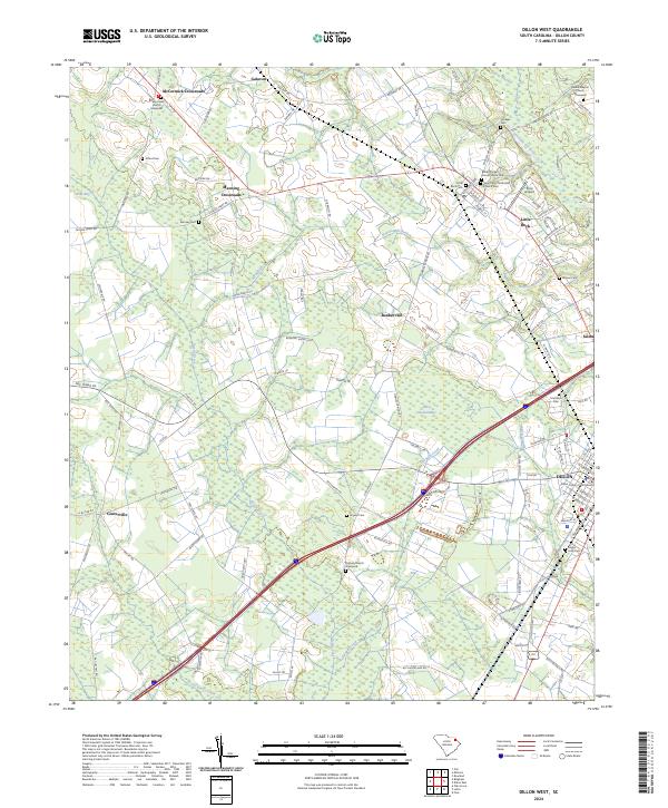 2024 Dillon West2024 Print · USGSDillon and the coastal plain of the Pee Dee region are shown here in modern detail, from the county seat to the small crossroad hamlets. Researchers can trace family roots at Saint Paul's Methodist Church Cem or explore the landscape around Little Rock and Bunker Hill.
 - 2024 Map of Witherspoon Island, 2024 Print
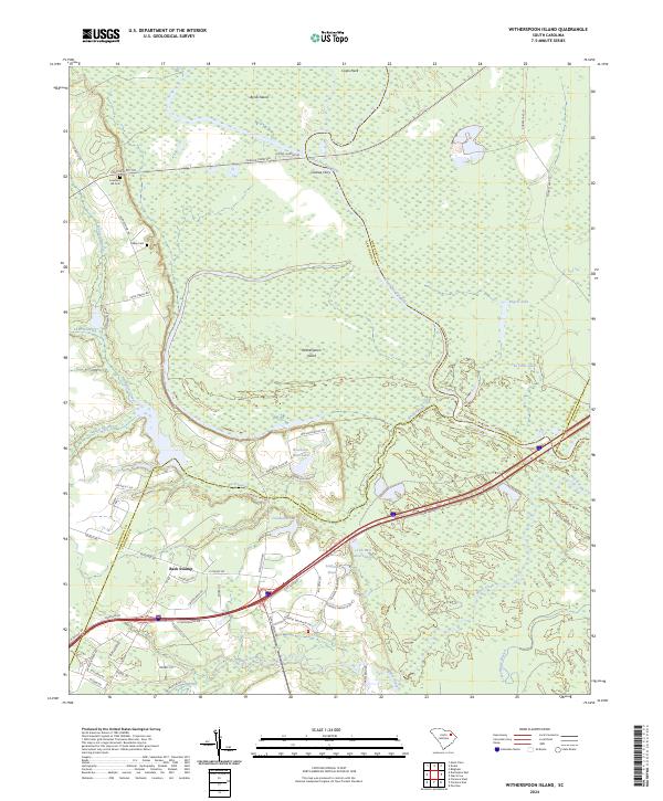 2024 Witherspoon Island2024 Print · USGSThe river plains of the Pee Dee region are shown in detail in this modern survey, covering the rural boundaries where four South Carolina counties meet. Researchers can trace old river crossings at Cashua Ferry and locate local family sites like Lowthers Hill Cem and Kelley Cem.
 - 2024 Map of Latta, 2024 Print
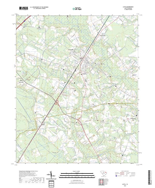 2024 Latta2024 Print · USGSDillon and Marion counties are captured here in the early twenty-first century, showing a landscape defined by the CSX rail line and unique Carolina bays. Researchers can locate numerous family burial sites like Stewart Family Cem and historic congregational centers such as Old Ebenezer Church.
 - 2024 Map of Dillon East, 2024 Print
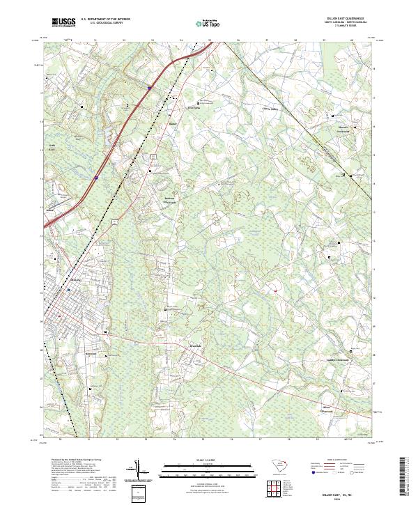 2024 Dillon East2024 Print · USGSDillon and its surrounding wetlands come into focus in this contemporary survey of the South Carolina borderlands. Researchers can trace family history through dozens of rural burial sites like Culbreth Cem and Evergreen Perpetual Cem or locate old community hubs at Five Forks and Hamer.
End of results
Showing maps 1-25 of 25
Top cities of Dillon County
Frequently asked questions
- What are the different types of historical maps available for Dillon County?
- What is the oldest map of Dillon County?
- Where can I purchase historical maps of Dillon County for my home or office?
- Where can I download high-res historical maps of Dillon County?
- Are there historical topographic maps available for Dillon County?
- Is there historical aerial imagery available for Dillon County?
- Where are historical maps of Dillon County sourced from?