Old Maps of Winnsboro, South Carolina for Hiking & Exploration
Hike through history with 19 historic maps of Winnsboro. Explore old trails, ghost towns, and forgotten backroads — perfect for outdoor adventurers and local explorers.
- Rediscover forgotten places: Map out old mining camps, roads, and footpaths that no longer exist on modern maps.
- Layer with modern tools: Combine with LiDAR or satellite views to plan hikes through historical terrain.
- Made for exploration: Popular among hikers, overlanders, and local history lovers.
Use these maps to find adventure and explore the hidden past of Winnsboro.
Winnsboro, SC maps
(19)- 1904 Map of Columbia
 1904 Columbia1904 Print · USGSRichland and Fairfield counties at the turn of the century are defined by their river-and-rail corridors and rural church communities. Genealogists can trace family footprints across Broad River ferries, the Southern R.R., and landmarks like The Old Brick Church or Winnsboro.2 unique versions available
 - 1941 Map of Spartanburg
 1941 Spartanburg1941 Print · USGSSouth Carolina’s Piedmont and Sandhills regions are shown here during the mid-century peak of the rail era. Researchers can trace the sprawling Fort Jackson Military Reservation and the industrial growth of hubs like Spartanburg and Rock Hill.
 - 1953 Map of Spartanburg, 1966 Print
 1953 Spartanburg1966 Print · USGSMid-century South Carolina comes into focus through this survey of the Piedmont and the Sand Hills at a time of significant reservoir expansion. Researchers can trace the legacy of industrial transit and resource extraction from the Haile Gold Mine to the rail hubs of the Seaboard Air Line.4 unique versions available
 - 1960 Map of Spartanburg
 1960 Spartanburg1960 Print · USGSThe South Carolina Piedmont and North Carolina borderlands come alive in this mid-century survey of the region between Spartanburg and Columbia. Researchers can trace the Seaboard Air Line railroad and explore landmarks like Anderson Quarry, Lake Murray, and Mount Croghan.2 unique versions available
 - 1963 Map of Spartanburg
 1963 Spartanburg1963 Print · USGSMid-century South Carolina comes alive in this survey, showing the rail-linked corridor between the Upstate and the Midlands. Genealogists can trace family lands near old hubs like Union and Lancaster, or along the banks of the Broad River and Pee Dee River.
 - 1964 Map of Spartanburg
 1964 Spartanburg1964 Print · USGSMid-century South Carolina comes alive in this survey of the Piedmont and Upcountry, stretching from the Blue Ridge foothills to the Sandhills. Genealogists and historians can trace the rail-and-river economy through Monarch Mills, Glenn Springs, and the Southern Railway corridor.
 - 1969 Map of Winnsboro, 1973 Print
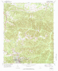 1969 Winnsboro1973 Print · USGSFairfield County in the late sixties reveals a network of rural church communities and railroad stops centered around the town of Winnsboro. Genealogists and researchers can trace local family landmarks such as St Johns Ch, White Oak, and the Cason Cem.2 unique versions available
 - 1969 Map of Winnsboro Mills, 1973 Print
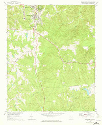 1969 Winnsboro Mills1973 Print · USGSFairfield County in the late sixties reveals a landscape shaped by textile production and rural rail lines. Genealogists and local historians can trace family locations near Winnsboro Mills, Simpson, and numerous country churches like New Haven Ch or Shiloh Ch.2 unique versions available
 - 1986 Map of Newberry
 1986 Newberry1986 Print · USGSSouth Carolina's Piedmont region is shown here in the mid-1980s, revealing a landscape of historic crossroads and industrial mill villages. Researchers can trace family roots through landmarks like Lynch Woods Cem, New Hope Church, and the campus of Presbyterian College.2 unique versions available
 - 2011 Map of Winnsboro Mills, 2011 Print
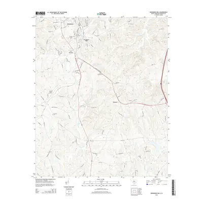
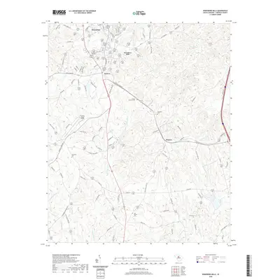
 2011 Winnsboro Mills2011 Print · USGSCovers Winnsboro, including Simpson, Winnsboro Mills, and other nearby areas
 - 2011 Map of Winnsboro, 2011 Print
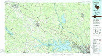
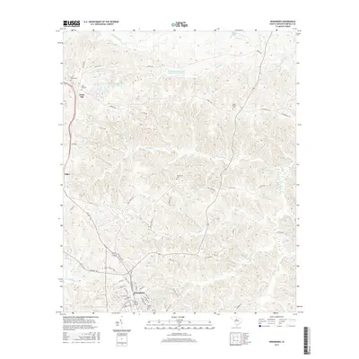
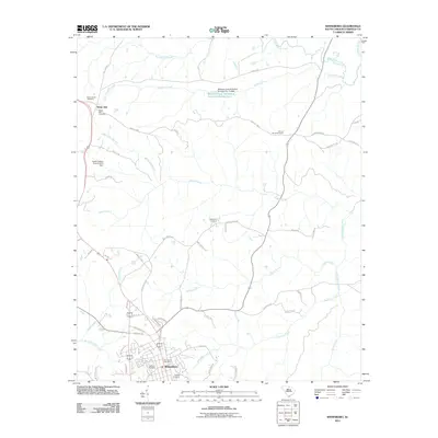 2011 Winnsboro2011 Print · USGSCovers Winnsboro, including White Oak, Fairfield County, and other nearby areas
 - 2014 Map of Winnsboro Mills, 2014 Print
 2014 Winnsboro Mills2014 Print · USGSCovers Winnsboro, including Simpson, Winnsboro Mills, and other nearby areas
 - 2014 Map of Winnsboro, 2014 Print
 2014 Winnsboro2014 Print · USGSCovers Winnsboro, including White Oak, Fairfield County, and other nearby areas
 - 2017 Map of Winnsboro Mills, 2017 Print
 2017 Winnsboro Mills2017 Print · USGSCovers Winnsboro, including Simpson, Winnsboro Mills, and other nearby areas
 - 2017 Map of Winnsboro, 2017 Print
 2017 Winnsboro2017 Print · USGSCovers Winnsboro, including White Oak, Fairfield County, and other nearby areas
 - 2020 Map of Winnsboro Mills, 2020 Print
 2020 Winnsboro Mills2020 Print · USGSCovers Winnsboro, including Simpson, Winnsboro Mills, and other nearby areas
 - 2020 Map of Winnsboro, 2020 Print
 2020 Winnsboro2020 Print · USGSCovers Winnsboro, including White Oak, Fairfield County, and other nearby areas
 - 2024 Map of Winnsboro Mills, 2024 Print
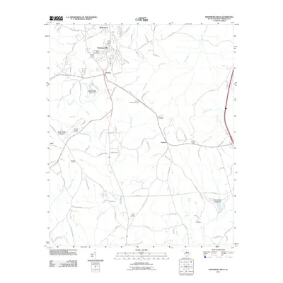
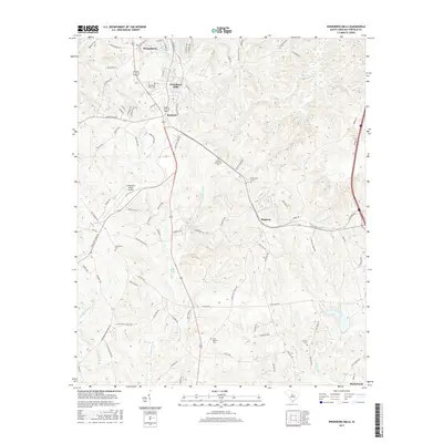
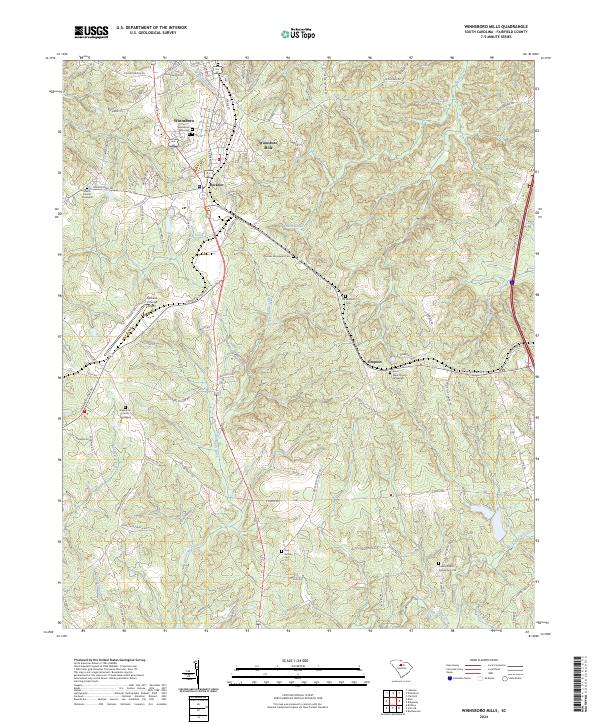 2024 Winnsboro Mills2024 Print · USGSWinnsboro Mills and Rockton are shown in detail during the 2020s, illustrating the enduring layout of these South Carolina mill communities. Family historians can trace several local landmarks including the Thomas Woodward Cemetery, Shiloh Church, and New Buffalo Cemetery.
 - 2024 Map of Winnsboro, 2024 Print
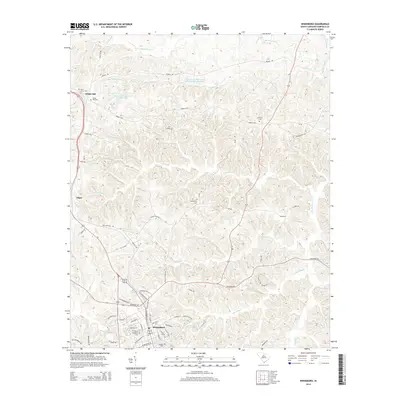
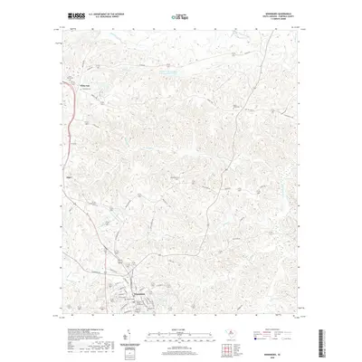
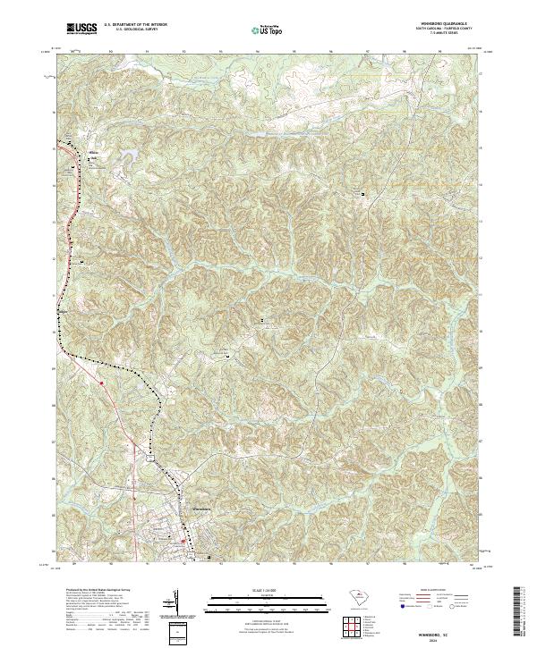 2024 Winnsboro2024 Print · USGSWinnsboro and the rural reaches of Fairfield County are captured here in the early twenty-first century. Researchers can trace family history through a high density of rural burial sites, including Saint James Cem, Russell Cem, and the historic Fairfield County Courthouse.
End of results
Showing maps 1-19 of 19
Top cities near Winnsboro
Frequently asked questions
- What are the different types of historical maps available for Winnsboro?
- What is the oldest map of Winnsboro?
- Where can I purchase historical maps of Winnsboro for my home or office?
- Where can I download high-res historical maps of Winnsboro?
- Are there historical topographic maps available for Winnsboro?
- Is there historical aerial imagery available for Winnsboro?
- Where are historical maps of Winnsboro sourced from?