Old Maps of Florence, South Carolina for Metal Detecting
Plan your next treasure hunt with 31 historic maps of Florence. Find old homesites, ghost towns, trails, and gathering spots that may be lost to time — perfect for identifying promising metal detecting locations.
- Locate forgotten sites: Uncover places like long-lost settlements, abandoned rail lines, or gathering spots.
- Plan better hunts: Use map overlays combined with LiDAR or satellite views to narrow in on historically rich areas.
- Made for detectorists: Thousands of hobbyists use these maps to discover relics, coins, and hidden history.
Use these historic maps to boost your research and find new opportunities beneath the surface of Florence.
Florence, SC maps
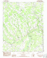
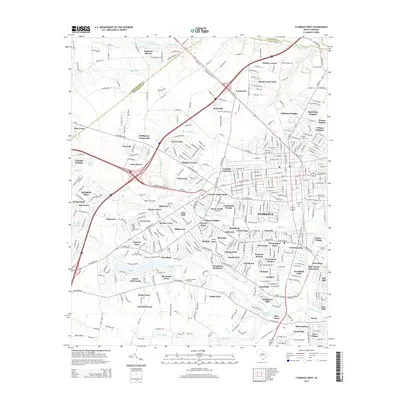
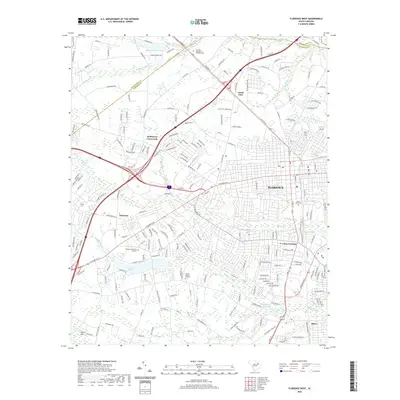
(31)- 1940 Map of Florence West
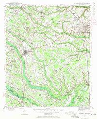 1940 Florence West1940 Print · USGSThe rural landscapes and rail towns west of Florence appear here just before the mid-century, as the local economy revolved around the river and the tracks. Genealogists can trace family roots through numerous country churches like Snow Hill Ch and old settlements like Timmonsville and Ebenezer.2 unique versions available
 - 1940 Map of Florence East, 1971 Print
 1940 Florence East1971 Print · USGSThe Pee Dee region just before the Second World War shows a landscape defined by riverside landings and rural rail stops. Genealogists can locate family-named landmarks and community hubs like Browns Old Mill, Tabernacle Sch, and Hewitt Cem.
 - 1945 Map of Florence East
 1945 Florence East1945 Print · USGSThe Pee Dee region of South Carolina was a web of rail lines and river landings in the years following the second World War. Researchers can trace the heritage of local communities at Browns Old Mill, Mars Bluff, and rural schoolhouses like Red Hill Sch.2 unique versions available
 - 1945 Map of Florence West
 1945 Florence West1945 Print · USGSInland South Carolina during the mid-1940s is defined here by the converging rails of the Atlantic Coast Line and a network of rural crossroads. Researchers can trace ancestral locations through dozens of landmarks like Anderson Cem, Muldrow Mill, and Syracuse.2 unique versions available
 - 1953 Map of Florence, 1964 Print
 1953 Florence1964 Print · USGSThe Carolina borderlands in the mid-fifties were a landscape of vast river swamps and rising rail towns. Trace the legacy of the Seaboard Air Line through Florence or explore the wetlands surrounding Lake Waccamaw and the Green Swamp.3 unique versions available
 - 1954 Map of Florence
 1954 Florence1954 Print · USGSThe Carolinas borderlands come alive in the early fifties, showing the vital rail-and-river networks of the coastal plain. Genealogists can trace family footprints across the Green Swamp or through settlements like Red Springs, Chadbourn, and McColl.
 - 1983 Map of Florence, 1985 Print
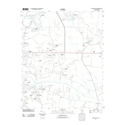
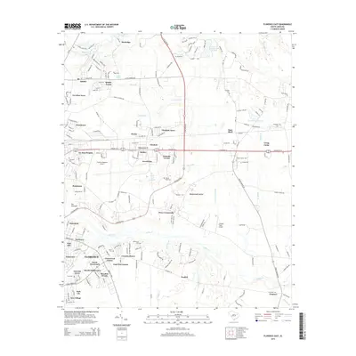
 1983 Florence1985 Print · USGSThe Pee Dee region in the early eighties shows a landscape shaped by river commerce and rail expansion. Researchers can trace historic river crossings at Galivants Ferry or locate vanished rail stops like Willow Creek Siding and Blue Brick.
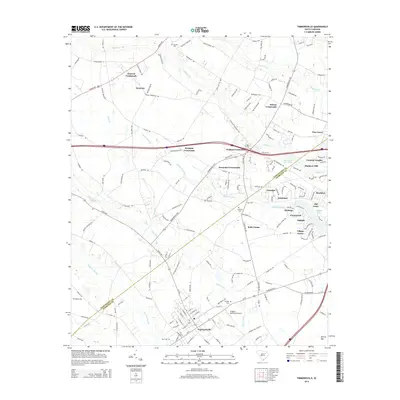
 - 1986 Map of Timmonsville, 1987 Print
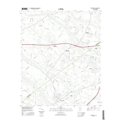
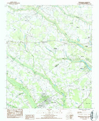 1986 Timmonsville1987 Print · USGSThe rural communities of Florence and Darlington Counties come alive in the mid-1980s, centered on the activity of Timmonsville. Genealogists and historians can trace family-named sites like Jernigan Crossroads, Byrd Cem, and the historic Muldrow Mill.
 - 1986 Map of Florence East, 1987 Print
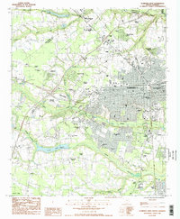
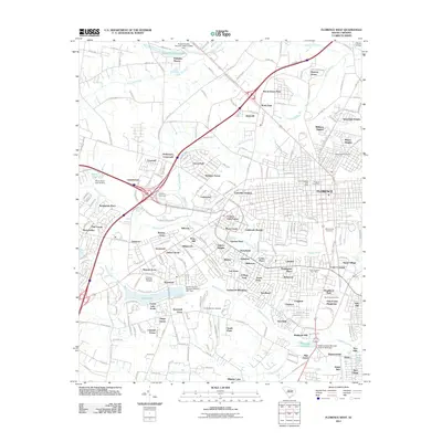
 1986 Florence East1987 Print · USGSThe eastern outskirts of Florence and the wetlands of the Pee Dee region are shown here in the late seventies and eighties. Researchers can trace the development of Francis Marion College or find family history at McPherson Cem and Price Crossroads.
 - 1986 Map of Florence West, 1987 Print
 1986 Florence West1987 Print · USGSThe Florence area in the mid-eighties showcases a period of significant suburban expansion and institutional development. Researchers can trace the growth of local neighborhoods like Windsor Forest or locate ancestral sites at the National Cem and Sunset Memory Gardens Cem.2 unique versions available
 - 1986 Map of Effingham, 1987 Print
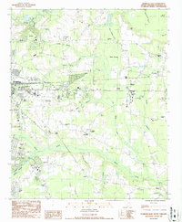
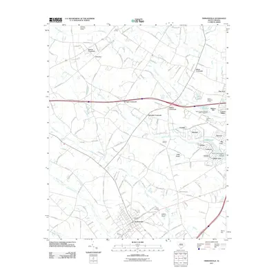
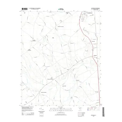
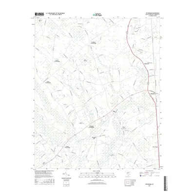
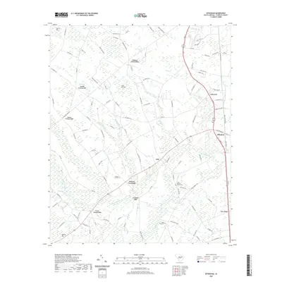
 1986 Effingham1987 Print · USGSFlorence County's coastal plain in the late eighties reveals a landscape of river-bottom swamps and tightly-knit crossroads communities. Genealogists and local historians can trace family locations near Meadow Prong Ch and Cem, Lynches Mill, and the riverside Lynches River State Park.
 - 2011 Map of Timmonsville, 2011 Print
 2011 Timmonsville2011 Print · USGSCovers Florence, including Timmonsville, Kelly Farms, and other nearby areas
 - 2011 Map of Effingham, 2011 Print
 2011 Effingham2011 Print · USGSCovers Florence, including Cusac Crossroads, Johnson Crossroads, and other nearby areas
 - 2011 Map of Florence East, 2011 Print
 2011 Florence East2011 Print · USGSCovers Florence, including Quinby, Hewitt Subdivision, and other nearby areas
 - 2011 Map of Florence West, 2011 Print
 2011 Florence West2011 Print · USGSCovers Florence, including Palmetto Shores, Delmar Heights, and other nearby areas
 - 2014 Map of Florence West, 2014 Print
 2014 Florence West2014 Print · USGSCovers Florence, including Palmetto Shores, Delmar Heights, and other nearby areas
 - 2014 Map of Timmonsville, 2014 Print
 2014 Timmonsville2014 Print · USGSCovers Florence, including Timmonsville, Kelly Farms, and other nearby areas
 - 2014 Map of Effingham, 2014 Print
 2014 Effingham2014 Print · USGSCovers Florence, including Cusac Crossroads, Johnson Crossroads, and other nearby areas
 - 2014 Map of Florence East, 2014 Print
 2014 Florence East2014 Print · USGSCovers Florence, including Quinby, Hewitt Subdivision, and other nearby areas
 - 2017 Map of Timmonsville, 2017 Print
 2017 Timmonsville2017 Print · USGSCovers Florence, including Timmonsville, Kelly Farms, and other nearby areas
 - 2017 Map of Effingham, 2017 Print
 2017 Effingham2017 Print · USGSCovers Florence, including Cusac Crossroads, Johnson Crossroads, and other nearby areas
 - 2017 Map of Florence West, 2017 Print
 2017 Florence West2017 Print · USGSCovers Florence, including Palmetto Shores, Delmar Heights, and other nearby areas
 - 2017 Map of Florence East, 2017 Print
 2017 Florence East2017 Print · USGSCovers Florence, including Quinby, Hewitt Subdivision, and other nearby areas
 - 2020 Map of Florence West, 2020 Print
 2020 Florence West2020 Print · USGSCovers Florence, including Palmetto Shores, Delmar Heights, and other nearby areas
 - 2020 Map of Effingham, 2020 Print
 2020 Effingham2020 Print · USGSCovers Florence, including Cusac Crossroads, Johnson Crossroads, and other nearby areas
Showing maps 1-25 of 31
Top cities near Florence
- Darlington historical maps
- Timmonsville historical maps
- Pamplico historical maps
- Quinby historical maps
- Coward historical maps
Top neighborhoods of Florence
- North Gate historical maps
- Country Club Estates historical maps
- South Park historical maps
- Country Club Forest historical maps
- Crownland Estates historical maps
- Cypress Point historical maps
See more
Frequently asked questions
- What are the different types of historical maps available for Florence?
- What is the oldest map of Florence?
- Where can I purchase historical maps of Florence for my home or office?
- Where can I download high-res historical maps of Florence?
- Are there historical topographic maps available for Florence?
- Is there historical aerial imagery available for Florence?
- Where are historical maps of Florence sourced from?