2020s Maps of Georgetown County, South Carolina
Explore 56 historic maps of Georgetown County from the 2020s. These maps offer a rare glimpse into what life looked like during the 2020s — showing old roads, neighborhoods, homes, and landmarks that have changed or disappeared over time.
Whether you're researching your family's past, planning a metal detecting trip, or studying how Georgetown County's landscape evolved across the 2020s, these high-resolution maps are a powerful tool for exploring the history of this region.
- Focus on a specific era: All maps on this page are from the 2020s, giving you a focused view of this time period.
- See what’s changed: Compare century-old streets, trails, and buildings to today's modern landscape using overlays and satellite layers.
- Research with precision: Use these maps for genealogy, historical research, land use analysis, or educational projects.
- View, download, or print: Maps are fully viewable online in high resolution, and can be downloaded or printed for your own records.
Start exploring Georgetown County's history through authentic maps from the 2020s. This is your window into the past.
Georgetown County, SC maps
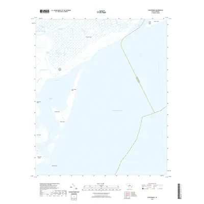
(56)- 2020 Map of Surfside Beach, 2020 Print
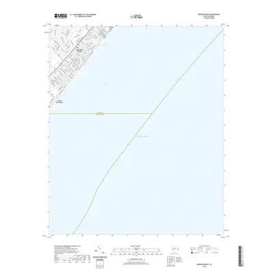 2020 Surfside Beach2020 Print · USGSCovers Georgetown County, including Surfside Beach, Garden City, and other nearby areas
 - 2020 Map of Yauhannah, 2020 Print
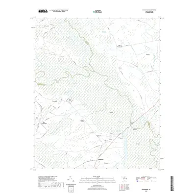 2020 Yauhannah2020 Print · USGSCovers Georgetown County, including Yauhannah, Gilbert Crossroads, and other nearby areas
 - 2020 Map of Magnolia Beach, 2020 Print
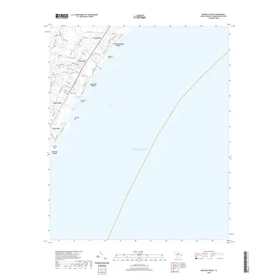 2020 Magnolia Beach2020 Print · USGSCovers Georgetown County, including Litchfield Beach, Pawleys Island, and other nearby areas
 - 2020 Map of Plantersville, 2020 Print
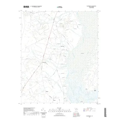 2020 Plantersville2020 Print · USGSCovers Georgetown County, including Upper Topsaw Landing, Gilliard, and other nearby areas
 - 2020 Map of North Island, 2020 Print
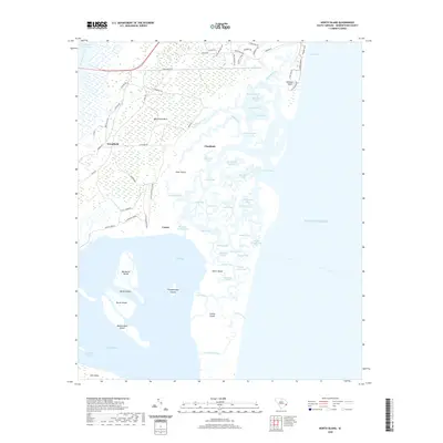 2020 North Island2020 Print · USGSCovers Georgetown County, including DeBordieu Colony, Denny Corner, and other nearby areas
 - 2020 Map of Rhems, 2020 Print
 2020 Rhems2020 Print · USGSCovers Georgetown County, including Willie Towne, Choppee, and other nearby areas
 - 2020 Map of Outland, 2020 Print
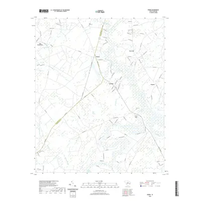
 2020 Outland2020 Print · USGSCovers Georgetown County, including Center Crossroads, Allentown, and other nearby areas
 - 2020 Map of South Santee, 2020 Print
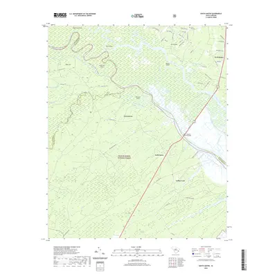 2020 South Santee2020 Print · USGSCovers Georgetown County, including South Santee, Germantown, and other nearby areas
 - 2020 Map of Henry, 2020 Print
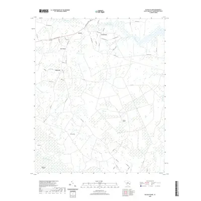
 2020 Henry2020 Print · USGSCovers Georgetown County, including Hemingway, Rome, and other nearby areas
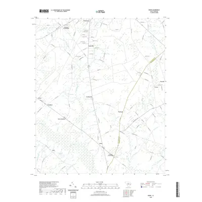
 - 2020 Map of Olin, 2020 Print
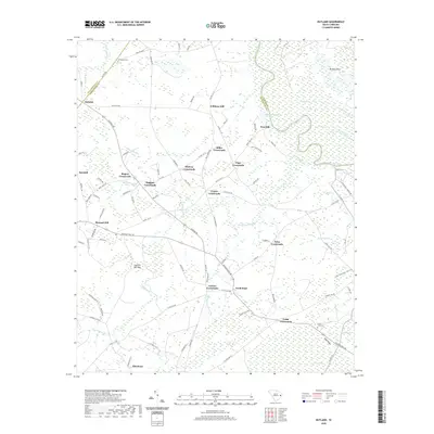
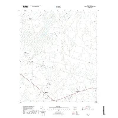 2020 Olin2020 Print · USGSCovers Georgetown County, including Kent, Forbes Corner, and other nearby areas
 - 2020 Map of Warsaw, 2020 Print
 2020 Warsaw2020 Print · USGSCovers Georgetown County, including Old Morrisville, Warsaw, and other nearby areas
 - 2020 Map of Cape Romain OE E, 2020 Print
 2020 Cape Romain OE E2020 Print · USGSCovers Georgetown County, including United States, South Carolina, and other nearby areas
 - 2020 Map of Minim Island, 2020 Print
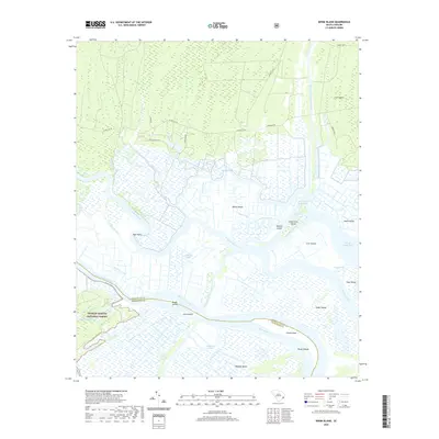 2020 Minim Island2020 Print · USGSCovers Georgetown County, including Charleston County, United States, and other nearby areas
 - 2020 Map of Jamestown, 2020 Print
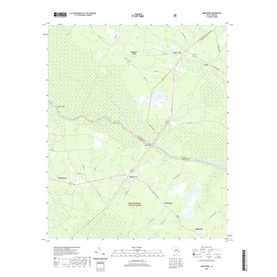 2020 Jamestown2020 Print · USGSCovers Georgetown County, including Jamestown, Oceda, and other nearby areas
 - 2020 Map of Carvers Bay, 2020 Print
 2020 Carvers Bay2020 Print · USGSCovers Georgetown County, including Post Foot Landing, Annieville, and other nearby areas
 - 2020 Map of Cedar Creek, 2020 Print
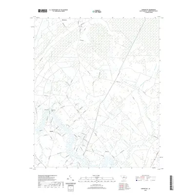
 2020 Cedar Creek2020 Print · USGSCovers Georgetown County, including Price Landing, Lambert, and other nearby areas
 - 2020 Map of Georgetown North, 2020 Print
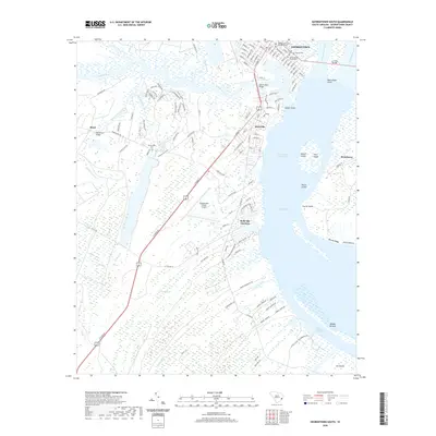
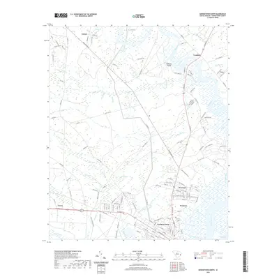 2020 Georgetown North2020 Print · USGSCovers Georgetown County, including Georgetown, Anne, and other nearby areas
 - 2020 Map of Cape Romain, 2020 Print
 2020 Cape Romain2020 Print · USGSCovers Georgetown County, including Charleston County, United States, and other nearby areas
 - 2020 Map of Andrews, 2020 Print
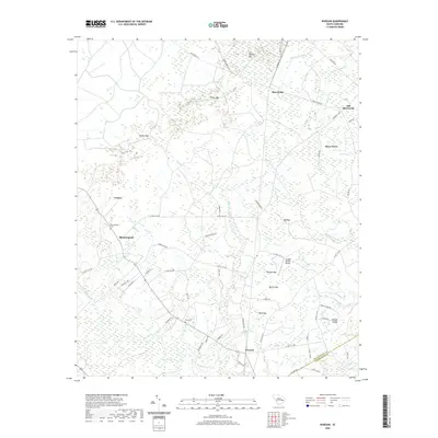
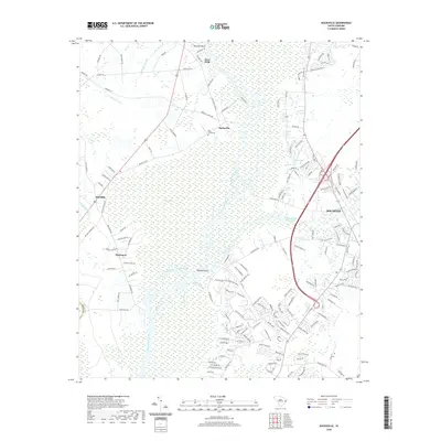
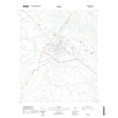 2020 Andrews2020 Print · USGSCovers Georgetown County, including Andrews, Puncheon Creek, and other nearby areas
 - 2020 Map of Bucksville, 2020 Print
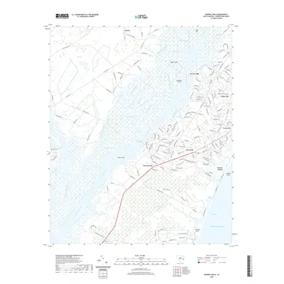
 2020 Bucksville2020 Print · USGSCovers Georgetown County, including Klondike, Bucksville, and other nearby areas
 - 2020 Map of Kilsock Island, 2020 Print
 2020 Kilsock Island2020 Print · USGSCovers Georgetown County, including Lodge Hall, Cumberland, and other nearby areas
 - 2020 Map of Santee Point, 2020 Print
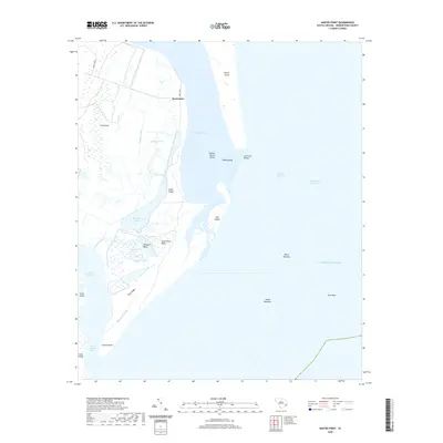 2020 Santee Point2020 Print · USGSCovers Georgetown County, including Quarantine, United States, and other nearby areas
 - 2020 Map of Georgetown South, 2020 Print
 2020 Georgetown South2020 Print · USGSCovers Georgetown County, including Georgetown, Steele Town, and other nearby areas
 - 2020 Map of Waverly Mills, 2020 Print
 2020 Waverly Mills2020 Print · USGSCovers Georgetown County, including Pawleys Island, Heritage, and other nearby areas
 - 2020 Map of Trio, 2020 Print
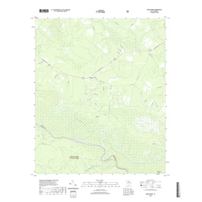
 2020 Trio2020 Print · USGSCovers Georgetown County, including Tisdale, Cook Corner, and other nearby areas
Showing maps 1-25 of 56
Top cities of Georgetown County
- Georgetown historical maps
- Murrells Inlet historical maps
- Litchfield Beach historical maps
- Andrews historical maps
- DeBordieu Colony historical maps
- Pawleys Island historical maps
Frequently asked questions
- What are the different types of historical maps available for Georgetown County?
- What is the oldest map of Georgetown County?
- Where can I purchase historical maps of Georgetown County for my home or office?
- Where can I download high-res historical maps of Georgetown County?
- Are there historical topographic maps available for Georgetown County?
- Is there historical aerial imagery available for Georgetown County?
- Where are historical maps of Georgetown County sourced from?