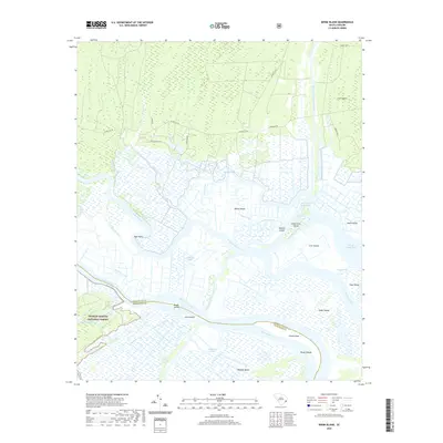
2020 Map of Minim Island
USGS Topo · Published 2020About this map
The North Santee River and South Santee River converge toward the Atlantic coast in this detailed coastal survey, forming a complex network of wetlands and tidal passages. The landscape is defined by extensive low-lying landforms such as Minim Island, Murphy Island, and Kinloch Island, separated by a intricate system of natural creeks and engineered waterways. Notable man-made features include the Intracoastal Waterway and the Estherville Minim Creek Canal, which facilitate navigation through this aquatic environment. A portion of the Francis Marion National Forest occupies the western edge, containing the Washo Reserve. The map also illustrates the dividing line between Georgetown and Charleston counties as it follows the river channels. Local infrastructure is represented by roads such as Annadale Rd and Old Kinloch Rd, providing access to the various points and islands in this riverine delta.
Find a feature on this map
44 named features on this map. Tap any name to fly to it.
Don’t see what you’re looking for? This feature index may not catch every label — zoom into the map to look around manually.
Map Details
Editions of this 2020 Minim Island Map
This is the sole edition of this map. No revisions or reprints were ever made.
Other maps of this area

1942 · Cape Romain
USGS Topo · 1:24,000

1942 · Mc Clellanville
USGS Topo · 1:24,000

1942 · Santee Point
USGS Topo · 1:24,000

1942 · North Island
USGS Topo · 1:24,000

1943 · Kilsock Bay
USGS Topo · 1:24,000

1943 · Santee
USGS Topo · 1:24,000

1943 · Minim Island
USGS Topo · 1:24,000

1943 · Georgetown South
USGS Topo · 1:24,000

1947 · Georgetown South
USGS Topo · 1:24,000

1949 · Georgetown
USGS Topo · 1:250,000