
1942 Map of Mc Clellanville
USGS Topo · Published 1962About this map
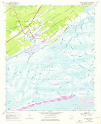
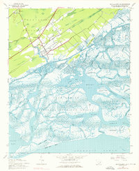
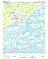
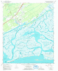
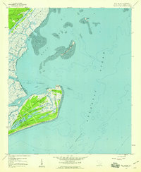
McClellanville serves as the primary coastal settlement on this 1942 survey, situated where the Francis Marion National Forest meets the tidal marshlands. The landscape is defined by an intricate network of saltwater passages, including the Intracoastal Waterway and winding tidal veins like Casino Creek and Five Fathom Creek. The map documents the extensive reach of the Cape Romain National Wildlife Refuge, which encompasses a labyrinth of islands and mudflats stretching toward the Atlantic Ocean.
Find a feature on this map
56 named features on this map. Tap any name to fly to it.
Don’t see what you’re looking for? This feature index may not catch every label — zoom into the map to look around manually.
Map Details
Editions of this 1942 Mc Clellanville Map
5 editions found
Other maps of this area

1919 · Bulls Island
USGS Topo · 1:21,120

1942 · Cape Romain
USGS Topo · 1:24,000

1942 · Honey Hill
USGS Topo · 1:24,000

1943 · Bulls Island
USGS Topo · 1:24,000

1943 · Santee
USGS Topo · 1:24,000

1943 · Awendaw
USGS Topo · 1:24,000

1943 · Minim Island
USGS Topo · 1:24,000

1948 · James Island
USGS Topo · 1:250,000

1949 · Georgetown
USGS Topo · 1:250,000
1959 · Bull Island
USGS Topo · 1:24,000