
1943 Map of Awendaw
USGS Topo · Published 1962About this map
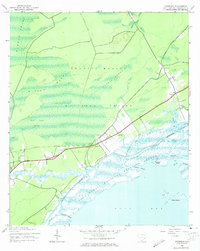
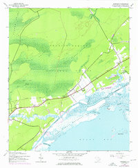
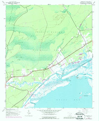
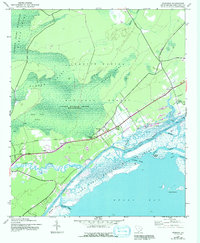
Francis Marion National Forest dominates this coastal landscape, where the dense hydrology of Wambaw Swamp and Little Wambaw Swamp meets the tidal complexity of the South Carolina shore. The transition from the interior forest to the Bull Bay coast is marked by an Old Railroad Grade that cuts through the wilderness toward small settlements like Awendaw and Pineland. Near the Intracoastal Waterway, the map reveals the layout of historic landholdings including Tibwin Plantation and Laurel Hill Plantation, alongside the St James Sch. The coastal edge is a labyrinth of tidal creeks such as Harbor River and Long Creek, protected within the Cape Romain National Wildlife Refuge. This 1940s survey illustrates a period before modern development, where the economy remained tied to the land and the strategic Atlantic waterway.
Find a feature on this map
28 named features on this map. Tap any name to fly to it.
Don’t see what you’re looking for? This feature index may not catch every label — zoom into the map to look around manually.
Map Details
Editions of this 1943 Awendaw Map
5 editions found
Other maps of this area

1919 · Bulls Island
USGS Topo · 1:21,120

1919 · Sewee Bay
USGS Topo · 1:21,120

1942 · Mc Clellanville
USGS Topo · 1:24,000

1942 · Honey Hill
USGS Topo · 1:24,000

1943 · Sewee Bay
USGS Topo · 1:24,000

1943 · Bulls Island
USGS Topo · 1:24,000

1943 · Shulerville
USGS Topo · 1:24,000

1943 · Santee
USGS Topo · 1:24,000

1943 · Ocean Bay
USGS Topo · 1:24,000

1948 · James Island
USGS Topo · 1:250,000