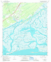
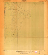
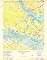
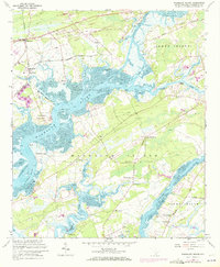
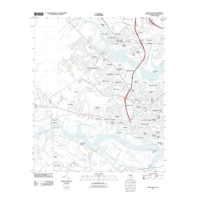
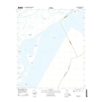
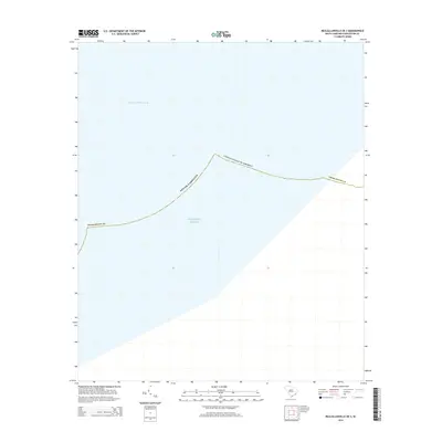
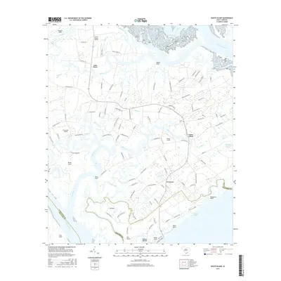
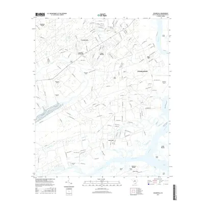
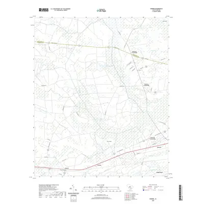
1942 Map of Mc Clellanville
USGS Topo · Published 1992About this map
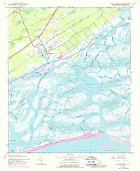
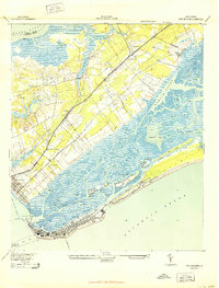
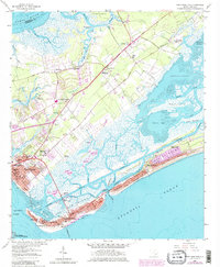
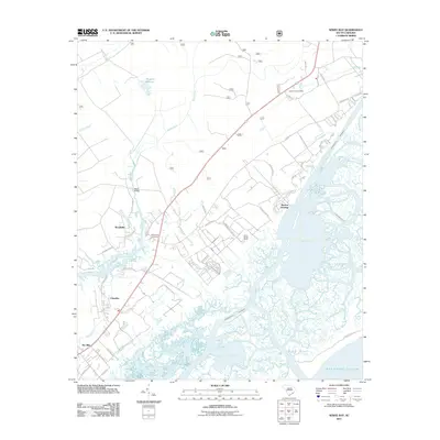
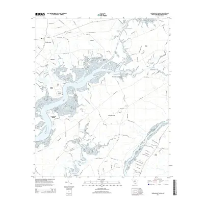
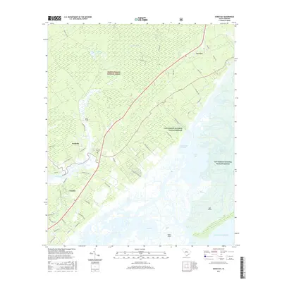
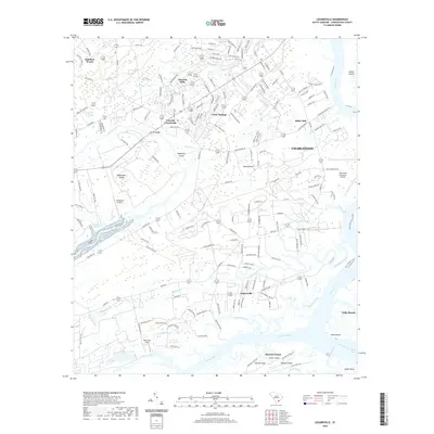
The coastal village of McClellanville serves as the primary hub of this Lowcountry landscape, situated where Jeremy Creek meets the tidal marshlands. Photogrammetric data from 1942 reveals a community deeply integrated with its maritime surroundings, featuring the Lincoln Sch and nearby rural crossroads like Moores Corner. North of the town, the Francis Marion National Forest dominates the terrestrial landscape, while the southern half of the sheet is defined by the intricate labyrinth of the Cape Romain National Wildlife Refuge. This complex network of waterways, including the Intracoastal Waterway and Five Fathom Creek, illustrates the essential waterborne transport routes of the era. From the barrier sands of Lighthouse Island to the inland Rhems Ch, the map captures a delicate balance between established forest reserves, fishing village life, and the vast Atlantic tidal systems.
Find a feature on this map
62 named features on this map. Tap any name to fly to it.
Don’t see what you’re looking for? This feature index may not catch every label — zoom into the map to look around manually.
Map Details
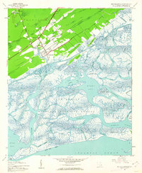
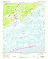
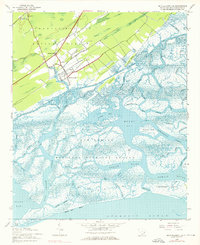
Editions of this 1942 Mc Clellanville Map
5 editions found
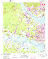
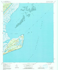
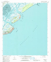
Historical Maps of McClellanville Through Time
100 maps found
1919 Bulls Island
Charleston County, SC

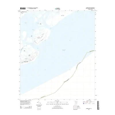
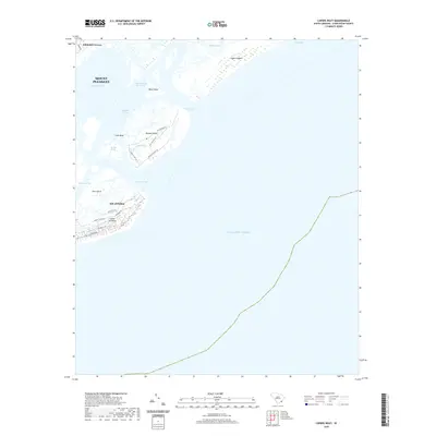
1919 Capers Island
Charleston County, SC
1919 Edisto Island
Charleston County, SC
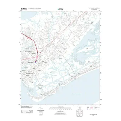
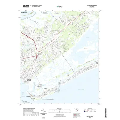
1919 Fort Moultrie
Charleston County, SC

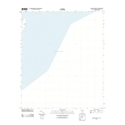
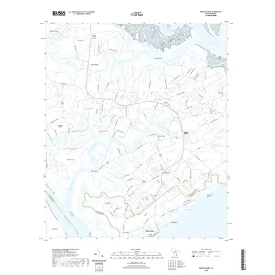
1919 Johns Island
Charleston County, SC

1919 Legareville
Charleston County, SC

1919 Sewee Bay
Charleston County, SC
1919 The Jetties
Charleston County, SC
1919 Wadmalaw Island
Charleston County, SC
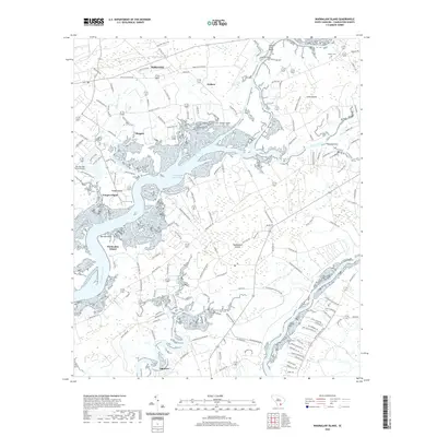
1920 Ravenels
Charleston County, SC
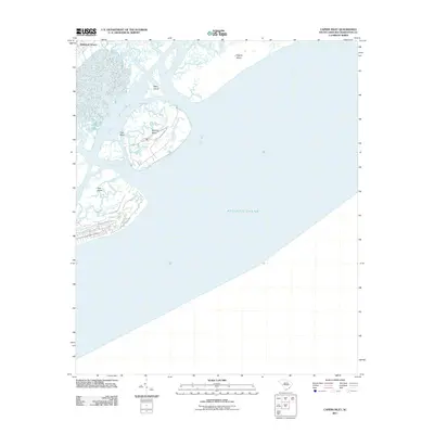
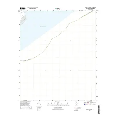
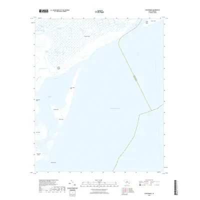
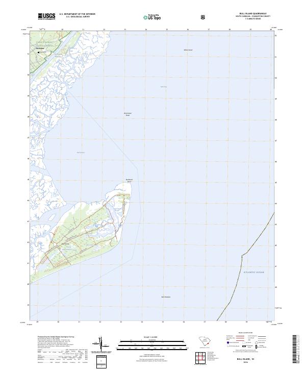
1942 Cape Romain
Charleston County, SC
1942 Mc Clellanville
Charleston County, SC

1943 Bulls Island
Charleston County, SC

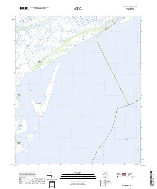
1943 Capers Island
Charleston County, SC

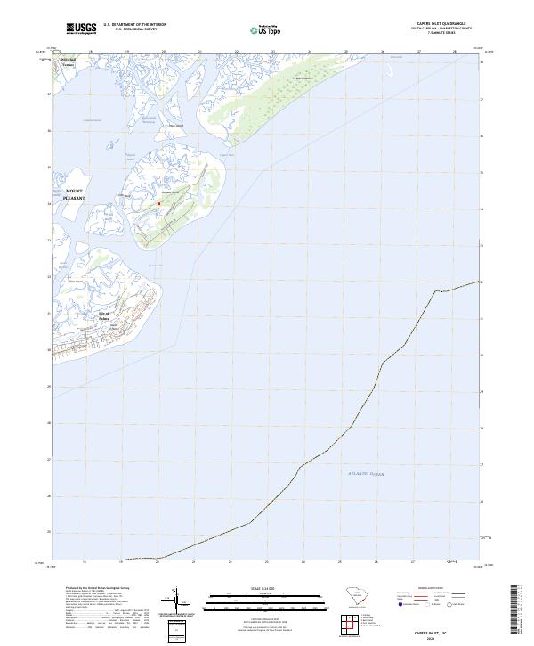
1943 Edisto Island
Charleston County, SC
1943 Fort Moultrie
Charleston County, SC
1943 Legareville
Charleston County, SC
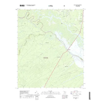
1943 Santee
Charleston County, SC

1943 Sewee Bay
Charleston County, SC

1944 Ravenels
Charleston County, SC
1944 Wadmelaw Island
Charleston County, SC
1948 Johns Island
Charleston County, SC
1958 Johns Island
Charleston County, SC
1959 Bull Island
Charleston County, SC
1959 Capers Inlet
Charleston County, SC
1959 Fort Moultrie
Charleston County, SC
1959 Legareville
Charleston County, SC
1959 Sewee Bay
Charleston County, SC
1960 Edisto Island
Charleston County, SC
1960 Wadmalaw Island
Charleston County, SC
1979 Osborn
Charleston County, SC
2011 Bull Island
Charleston County, SC
2011 Cape Romain
Charleston County, SC
2011 Capers Inlet
Charleston County, SC
2011 Edisto Island
Charleston County, SC
2011 Fort Moultrie
Charleston County, SC
2011 James Island OE E
Charleston County, SC
2011 Johns Island
Charleston County, SC
2011 Kiawah Island OE E
Charleston County, SC
2011 Legareville
Charleston County, SC
2011 Osborn
Charleston County, SC
2011 Sewee Bay
Charleston County, SC
2011 South Santee
Charleston County, SC
2011 Wadmalaw Island
Charleston County, SC
2014 Bull Island
Charleston County, SC
2014 Cape Romain
Charleston County, SC
2014 Capers Inlet
Charleston County, SC
2014 Edisto Island
Charleston County, SC
2014 Fort Moultrie
Charleston County, SC
2014 James Island OE E
Charleston County, SC
2014 Johns Island
Charleston County, SC
2014 Kiawah Island OE E
Charleston County, SC
2014 Legareville
Charleston County, SC
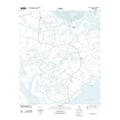
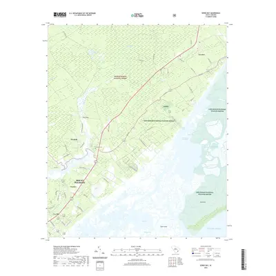
2014 McClellanville OE S
Charleston County, SC
2014 Osborn
Charleston County, SC
2014 Sewee Bay
Charleston County, SC
2014 South Santee
Charleston County, SC
2014 Wadmalaw Island
Charleston County, SC
2017 Bull Island
Charleston County, SC
2017 Cape Romain
Charleston County, SC
2017 Capers Inlet
Charleston County, SC
2017 Edisto Island
Charleston County, SC
2017 Fort Moultrie
Charleston County, SC
2017 James Island OE E
Charleston County, SC
2017 Johns Island
Charleston County, SC
2017 Kiawah Island OE E
Charleston County, SC
2017 Legareville
Charleston County, SC
2017 McClellanville OE S
Charleston County, SC
2017 Osborn
Charleston County, SC
2017 Sewee Bay
Charleston County, SC
2017 South Santee
Charleston County, SC
2017 Wadmalaw Island
Charleston County, SC
2020 Bull Island
Charleston County, SC
2020 Cape Romain
Charleston County, SC
2020 Capers Inlet
Charleston County, SC
2020 Edisto Island
Charleston County, SC
2020 Fort Moultrie
Charleston County, SC
2020 James Island OE E
Charleston County, SC

2020 Johns Island
Charleston County, SC
2020 Kiawah Island OE E
Charleston County, SC
2020 Legareville
Charleston County, SC
2020 McClellanville OE S
Charleston County, SC
2020 Osborn
Charleston County, SC
2020 Sewee Bay
Charleston County, SC
2020 South Santee
Charleston County, SC
2020 Wadmalaw Island
Charleston County, SC
2024 Bull Island
Charleston County, SC
2024 Cape Romain
Charleston County, SC
2024 Capers Inlet
Charleston County, SC
2024 Edisto Island
Charleston County, SC
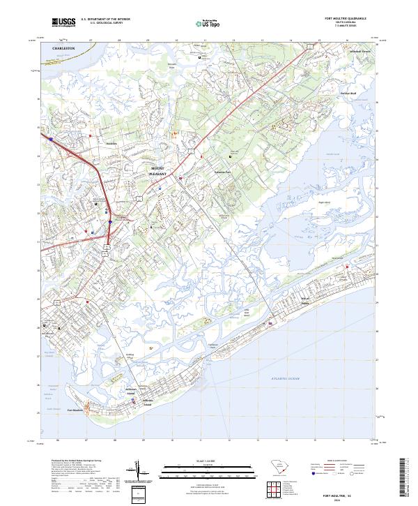
2024 Fort Moultrie
Charleston County, SC
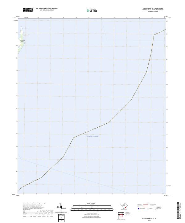
2024 James Island OE E
Charleston County, SC
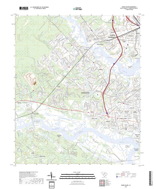
2024 Johns Island
Charleston County, SC
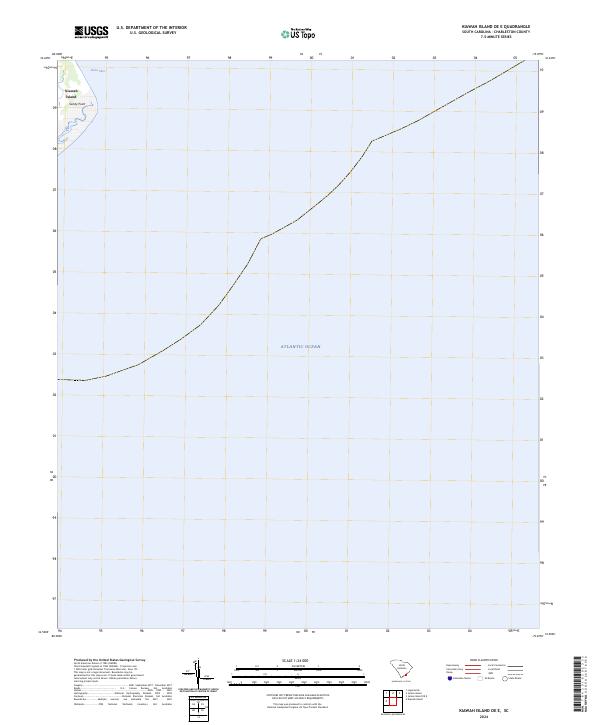
2024 Kiawah Island OE E
Charleston County, SC
2024 Legareville
Charleston County, SC
2024 McClellanville OE S
Charleston County, SC
2024 Osborn
Charleston County, SC
2024 Sewee Bay
Charleston County, SC
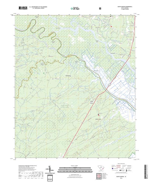
2024 South Santee
Charleston County, SC
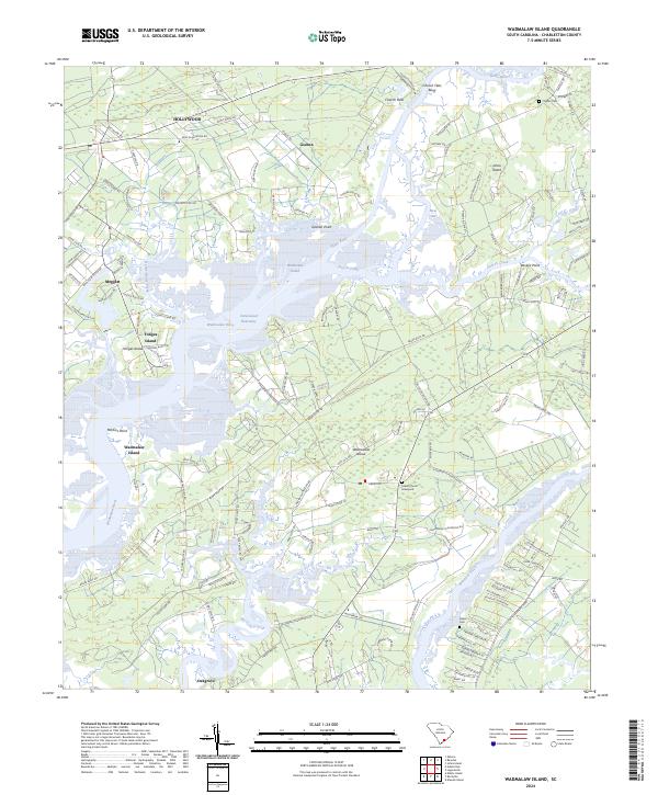
2024 Wadmalaw Island
Charleston County, SC