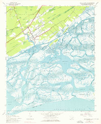
1942 Map of Mc Clellanville
USGS Topo · Published 1976About this map
McClellanville sits at the heart of this coastal landscape, serving as a gateway to the intricate tidal networks of the South Carolina Lowcountry. The settlement patterns of 1942 are clearly visible, with landmarks such as Lincoln Sch, Rhems Ch, and St Peters Ch providing a structural record of the local community during the mid-twentieth century. North of the town, the Francis Marion National Forest occupies the upland terrain, while to the south, the expansive Cape Romain National Wildlife Refuge preserves an environment dominated by marshlands and winding waterways like Five Fathom Creek and the Romain River.
Find a feature on this map
54 named features on this map. Tap any name to fly to it.
Don’t see what you’re looking for? This feature index may not catch every label — zoom into the map to look around manually.
Map Details
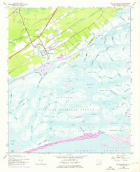
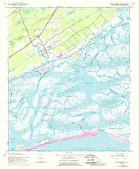
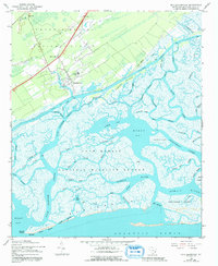
Editions of this 1942 Mc Clellanville Map
5 editions found
Other maps of this area

1919 · Bulls Island
USGS Topo · 1:21,120

1942 · Cape Romain
USGS Topo · 1:24,000

1942 · Mc Clellanville
USGS Topo · 1:24,000

1942 · Honey Hill
USGS Topo · 1:24,000

1943 · Bulls Island
USGS Topo · 1:24,000

1943 · Santee
USGS Topo · 1:24,000

1943 · Awendaw
USGS Topo · 1:24,000

1943 · Minim Island
USGS Topo · 1:24,000

1948 · James Island
USGS Topo · 1:250,000

1949 · Georgetown
USGS Topo · 1:250,000