2000s (21st Century) Maps of Aynor, South Carolina
Explore 10 historic maps of Aynor from the 2000s (21st Century). These maps offer a rare glimpse into what life looked like during the 2000s — showing old roads, neighborhoods, homes, and landmarks that have changed or disappeared over time.
Whether you're researching your family's past, planning a metal detecting trip, or studying how Aynor's landscape evolved across the 2000s, these high-resolution maps are a powerful tool for exploring the history of this region.
- Focus on a specific era: All maps on this page are from the 2000s, giving you a focused view of this time period.
- See what’s changed: Compare century-old streets, trails, and buildings to today's modern landscape using overlays and satellite layers.
- Research with precision: Use these maps for genealogy, historical research, land use analysis, or educational projects.
- View, download, or print: Maps are fully viewable online in high resolution, and can be downloaded or printed for your own records.
Start exploring Aynor's history through authentic maps from the 2000s. This is your window into the past.
Aynor, SC maps
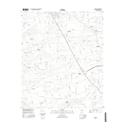
(10)- 2011 Map of Horry, 2011 Print
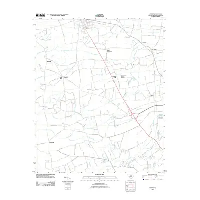 2011 Horry2011 Print · USGSCovers Aynor, including Horry, Doyle, and other nearby areas
 - 2011 Map of Galivants Ferry, 2011 Print
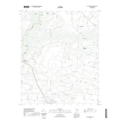
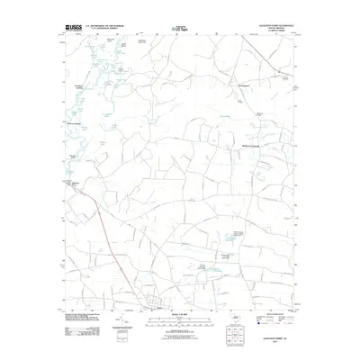 2011 Galivants Ferry2011 Print · USGSCovers Aynor, including McQueen Crossroads, Polecat Landing, and other nearby areas
 - 2014 Map of Galivants Ferry, 2014 Print
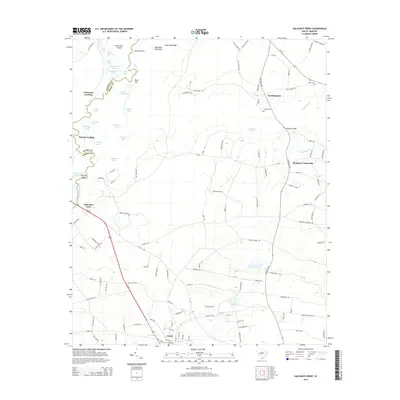 2014 Galivants Ferry2014 Print · USGSCovers Aynor, including McQueen Crossroads, Polecat Landing, and other nearby areas
 - 2014 Map of Horry, 2014 Print
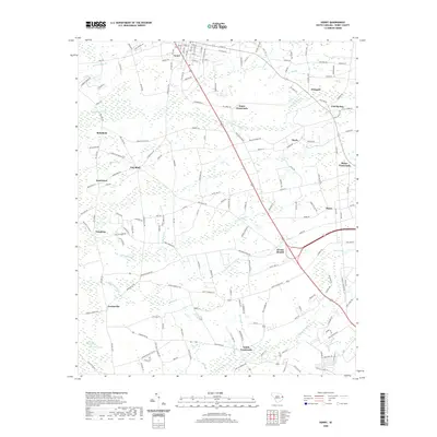
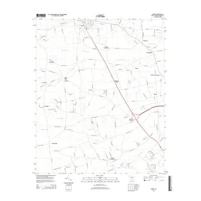 2014 Horry2014 Print · USGSCovers Aynor, including Horry, Doyle, and other nearby areas
 - 2017 Map of Horry, 2017 Print
 2017 Horry2017 Print · USGSCovers Aynor, including Horry, Doyle, and other nearby areas
 - 2017 Map of Galivants Ferry, 2017 Print
 2017 Galivants Ferry2017 Print · USGSCovers Aynor, including McQueen Crossroads, Polecat Landing, and other nearby areas
 - 2020 Map of Galivants Ferry, 2020 Print
 2020 Galivants Ferry2020 Print · USGSCovers Aynor, including McQueen Crossroads, Polecat Landing, and other nearby areas
 - 2020 Map of Horry, 2020 Print
 2020 Horry2020 Print · USGSCovers Aynor, including Horry, Doyle, and other nearby areas
 - 2024 Map of Galivants Ferry, 2024 Print
 2024 Galivants Ferry2024 Print · USGSCoastal South Carolina's Lowcountry river system is captured here in the contemporary era, where the Little Pee Dee River meets the rural crossroads of Horry County. Genealogists and historians can trace family burial sites like Old Gerald Cem and locate named local landmarks such as Ketchuptown and McQueen Crossroads.
 - 2024 Map of Horry, 2024 Print
 2024 Horry2024 Print · USGSCoastal plain settlements and expansive wetlands define this South Carolina landscape in the contemporary era. Researchers can trace family history through local landmarks like Aynor Cem, Lundy Crossroads, and the rural community of Jordanville.
End of results
Showing maps 1-10 of 10
Top cities near Aynor
- Conway historical maps
- Marion historical maps
- Mullins historical maps
- Johnsonville historical maps
- Nichols historical maps
Frequently asked questions
- What are the different types of historical maps available for Aynor?
- What is the oldest map of Aynor?
- Where can I purchase historical maps of Aynor for my home or office?
- Where can I download high-res historical maps of Aynor?
- Are there historical topographic maps available for Aynor?
- Is there historical aerial imagery available for Aynor?
- Where are historical maps of Aynor sourced from?