Old Maps of Aynor, South Carolina for Academic Research
Study the evolution of Aynor with 20 high-resolution historic maps. Whether you're teaching, researching, or modeling changes in land use, these maps provide essential visual documentation of urban, environmental, and geographic change.
- Analyze long-term change: Track patterns in development, transportation, and natural features.
- Ideal for environmental or urban studies: Support academic projects with primary historical map data.
- Use in the classroom or lab: Educators and researchers rely on these maps to bring historical context to life.
These maps are a powerful tool for teaching, research, and visualizing how Aynor has changed over the decades.
Aynor, SC maps
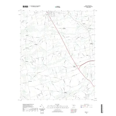
(20)- 1943 Map of Horry, 1962 Print
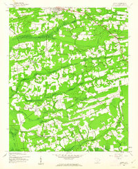 1943 Horry1962 Print · USGSHorry County at the height of the Second World War reveals a landscape of rural crossroads and extensive swamplands. Researchers can trace the heritage of local congregations and school districts through St Elizabeth Ch, St Matthew Ch, and Brunson Sch.2 unique versions available
 - 1948 Map of Galivants Ferry, 1981 Print
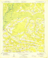
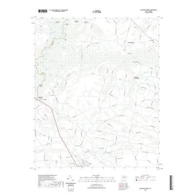
 1948 Galivants Ferry1981 Print · USGSThe rural landscape of Horry and Marion counties comes alive in the mid-twentieth century as communities shifted from river landings to crossroads commerce. Genealogists can trace family landmarks and rural school sites like Ketchuptown, Galivants Ferry, and Mill Swamp Sch.
 - 1949 Map of Georgetown, 1953 Print
 1949 Georgetown1953 Print · USGSThe South Carolina coast and North Carolina borderlands appear here in the mid-century, prior to the major modern development of the Grand Strand. Genealogists and historians can trace the rail networks of the Seaboard Air Line Railroad and locate coastal landmarks from Fort Caswell to McClellanville.
 - 1950 Map of Galivants Ferry
 1950 Galivants Ferry1950 Print · USGSHorry County in the mid-twentieth century was a landscape of river landings and rural crossroads. Local historians can trace family roots through sites like Sandy Plains Ch, the community at Ketchuptown, and landings along the Little Pee Dee River.3 unique versions available
 - 1953 Map of Florence, 1964 Print
 1953 Florence1964 Print · USGSThe Carolina borderlands in the mid-fifties were a landscape of vast river swamps and rising rail towns. Trace the legacy of the Seaboard Air Line through Florence or explore the wetlands surrounding Lake Waccamaw and the Green Swamp.3 unique versions available
 - 1954 Map of Florence
 1954 Florence1954 Print · USGSThe Carolinas borderlands come alive in the early fifties, showing the vital rail-and-river networks of the coastal plain. Genealogists can trace family footprints across the Green Swamp or through settlements like Red Springs, Chadbourn, and McColl.
 - 1967 Map of Georgetown
 1967 Georgetown1967 Print · USGSThe South Carolina Lowcountry and Grand Strand meet in the late sixties, showcasing a coastal landscape transitioning from river-based industry to seaside tourism. Researchers can trace the Intracoastal Waterway past Georgetown or locate historical sites like Fort Fisher and Murrells Inlet.
 - 1974 Map of Georgetown, 1978 Print
 1974 Georgetown1978 Print · USGSThe Carolina coast and Pee Dee region are shown here in the mid-seventies, just as the Grand Strand was maturing into a premier destination. Researchers can trace the inland rail corridors of the Seaboard Coast Line Railroad or explore the coastal reaches of the Cape Romain National Wildlife Refuge and Myrtle Beach State Park.2 unique versions available
 - 1983 Map of Florence, 1985 Print
 1983 Florence1985 Print · USGSThe Pee Dee region in the early eighties shows a landscape shaped by river commerce and rail expansion. Researchers can trace historic river crossings at Galivants Ferry or locate vanished rail stops like Willow Creek Siding and Blue Brick.
 - 1986 Map of Kingstree
 1986 Kingstree1986 Print · USGSThe South Carolina Lowcountry in the mid-eighties shows a landscape defined by the Black River and the growing coastal communities of the Grand Strand. Researchers can trace historic river settlements and rail stops like Salters Depot, Pamplico, and Hemingway.2 unique versions available
 - 2011 Map of Horry, 2011 Print
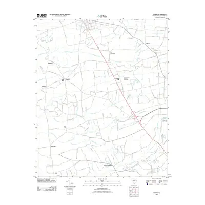 2011 Horry2011 Print · USGSCovers Aynor, including Horry, Doyle, and other nearby areas
 - 2011 Map of Galivants Ferry, 2011 Print
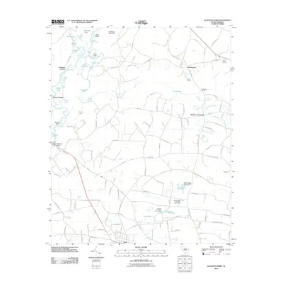 2011 Galivants Ferry2011 Print · USGSCovers Aynor, including McQueen Crossroads, Polecat Landing, and other nearby areas
 - 2014 Map of Galivants Ferry, 2014 Print
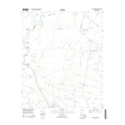 2014 Galivants Ferry2014 Print · USGSCovers Aynor, including McQueen Crossroads, Polecat Landing, and other nearby areas
 - 2014 Map of Horry, 2014 Print
 2014 Horry2014 Print · USGSCovers Aynor, including Horry, Doyle, and other nearby areas
 - 2017 Map of Horry, 2017 Print
 2017 Horry2017 Print · USGSCovers Aynor, including Horry, Doyle, and other nearby areas
 - 2017 Map of Galivants Ferry, 2017 Print
 2017 Galivants Ferry2017 Print · USGSCovers Aynor, including McQueen Crossroads, Polecat Landing, and other nearby areas
 - 2020 Map of Galivants Ferry, 2020 Print
 2020 Galivants Ferry2020 Print · USGSCovers Aynor, including McQueen Crossroads, Polecat Landing, and other nearby areas
 - 2020 Map of Horry, 2020 Print
 2020 Horry2020 Print · USGSCovers Aynor, including Horry, Doyle, and other nearby areas
 - 2024 Map of Galivants Ferry, 2024 Print
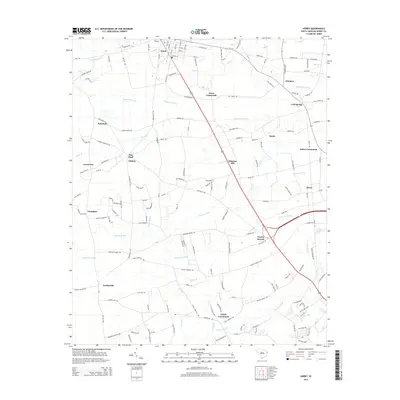
 2024 Galivants Ferry2024 Print · USGSCoastal South Carolina's Lowcountry river system is captured here in the contemporary era, where the Little Pee Dee River meets the rural crossroads of Horry County. Genealogists and historians can trace family burial sites like Old Gerald Cem and locate named local landmarks such as Ketchuptown and McQueen Crossroads.
 - 2024 Map of Horry, 2024 Print
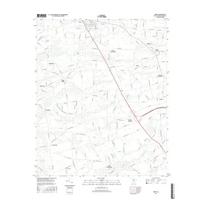
 2024 Horry2024 Print · USGSCoastal plain settlements and expansive wetlands define this South Carolina landscape in the contemporary era. Researchers can trace family history through local landmarks like Aynor Cem, Lundy Crossroads, and the rural community of Jordanville.
End of results
Showing maps 1-20 of 20
Top cities near Aynor
- Conway historical maps
- Marion historical maps
- Mullins historical maps
- Johnsonville historical maps
- Nichols historical maps
Frequently asked questions
- What are the different types of historical maps available for Aynor?
- What is the oldest map of Aynor?
- Where can I purchase historical maps of Aynor for my home or office?
- Where can I download high-res historical maps of Aynor?
- Are there historical topographic maps available for Aynor?
- Is there historical aerial imagery available for Aynor?
- Where are historical maps of Aynor sourced from?