Old Maps of Worthams Ferry, South Carolina for Hiking & Exploration
Hike through history with 13 historic maps of Worthams Ferry. Explore old trails, ghost towns, and forgotten backroads — perfect for outdoor adventurers and local explorers.
- Rediscover forgotten places: Map out old mining camps, roads, and footpaths that no longer exist on modern maps.
- Layer with modern tools: Combine with LiDAR or satellite views to plan hikes through historical terrain.
- Made for exploration: Popular among hikers, overlanders, and local history lovers.
Use these maps to find adventure and explore the hidden past of Worthams Ferry.
Worthams Ferry, SC maps
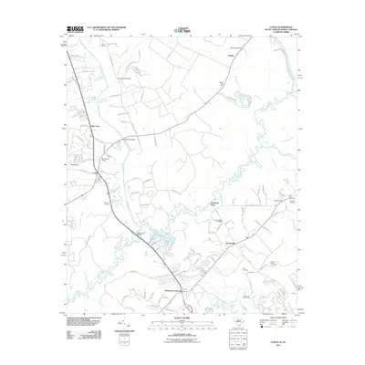
(13)- 1944 Map of Longs
 1944 Longs1944 Print · USGSCoastal South Carolina and North Carolina were defined by river ferries and swamp agriculture during the mid-forties. Genealogists can trace local family landmarks such as Butler Cem, Buck Creek Church, and the former Olyphic PO.
 - 1949 Map of Georgetown, 1953 Print
 1949 Georgetown1953 Print · USGSThe South Carolina coast and North Carolina borderlands appear here in the mid-century, prior to the major modern development of the Grand Strand. Genealogists and historians can trace the rail networks of the Seaboard Air Line Railroad and locate coastal landmarks from Fort Caswell to McClellanville.
 - 1953 Map of Longs
 1953 Longs1953 Print · USGSHorry County at the mid-century was a landscape of winding river swamps and quiet crossroads settlements along the North Carolina border. Genealogists and local historians can trace family locations through Butler Cem, Worthams Ferry, and the Olyphic PO.2 unique versions available
 - 1967 Map of Georgetown
 1967 Georgetown1967 Print · USGSThe South Carolina Lowcountry and Grand Strand meet in the late sixties, showcasing a coastal landscape transitioning from river-based industry to seaside tourism. Researchers can trace the Intracoastal Waterway past Georgetown or locate historical sites like Fort Fisher and Murrells Inlet.
 - 1974 Map of Georgetown, 1978 Print
 1974 Georgetown1978 Print · USGSThe Carolina coast and Pee Dee region are shown here in the mid-seventies, just as the Grand Strand was maturing into a premier destination. Researchers can trace the inland rail corridors of the Seaboard Coast Line Railroad or explore the coastal reaches of the Cape Romain National Wildlife Refuge and Myrtle Beach State Park.2 unique versions available
 - 1986 Map of Myrtle Beach
 1986 Myrtle Beach1986 Print · USGSThe Grand Strand and Brunswick County coast are captured in the mid-eighties before the late-century development boom. Researchers can trace the footprint of the Myrtle Beach Air Force Base and old coastal settlements like Atlantic Beach and Socastee.
 - 1990 Map of Myrtle Beach
 1990 Myrtle Beach1990 Print · USGSThe Grand Strand and the North Carolina borderlands are captured here in the decade before the base closure. Genealogists and historians can trace the development of Myrtle Beach and North Myrtle Beach alongside rural landmarks like Star Bluff Crossroads and Fort Caswell.
 - 1990 Map of Longs, 1991 Print
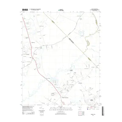
 1990 Longs1991 Print · USGSCoastal plains and river wetlands define the border of North and South Carolina in the late twentieth century. Genealogists and researchers can trace the locations of Worthams Ferry, numerous family cemeteries like Butler Cem, and rural hubs such as Longs and Brooksville.
 - 2011 Map of Longs, 2011 Print
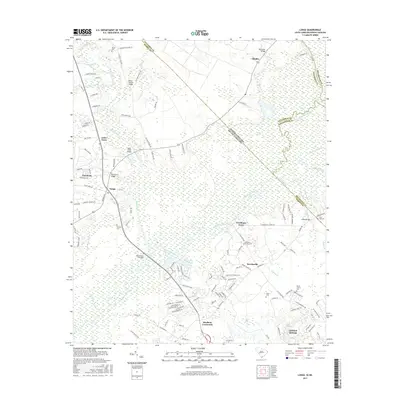
 2011 Longs2011 Print · USGSCovers Worthams Ferry, including Little River, Brooksville, and other nearby areas
 - 2014 Map of Longs, 2014 Print
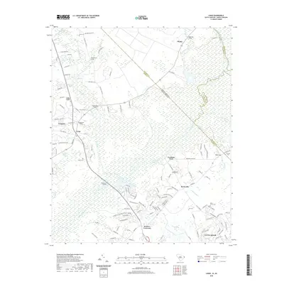
 2014 Longs2014 Print · USGSCovers Worthams Ferry, including Little River, Brooksville, and other nearby areas
 - 2017 Map of Longs, 2017 Print
 2017 Longs2017 Print · USGSCovers Worthams Ferry, including Little River, Brooksville, and other nearby areas
 - 2020 Map of Longs, 2020 Print
 2020 Longs2020 Print · USGSCovers Worthams Ferry, including Little River, Brooksville, and other nearby areas
 - 2024 Map of Longs, 2024 Print
 2024 Longs2024 Print · USGSHorry County and the Carolina borderlands appear in this recent survey of the coastal plain's riverine landscape. Researchers can trace family history through sites like Butler Cem, the crossing at Worthams Ferry, and the community at Stephens Crossroads.
End of results
Showing maps 1-13 of 13
Top cities near Worthams Ferry
- Myrtle Beach historical maps
- North Myrtle Beach historical maps
- Tabor City historical maps
- Loris historical maps
- Sunset Beach historical maps
- Carolina Shores historical maps
See more
Frequently asked questions
- What are the different types of historical maps available for Worthams Ferry?
- What is the oldest map of Worthams Ferry?
- Where can I purchase historical maps of Worthams Ferry for my home or office?
- Where can I download high-res historical maps of Worthams Ferry?
- Are there historical topographic maps available for Worthams Ferry?
- Is there historical aerial imagery available for Worthams Ferry?
- Where are historical maps of Worthams Ferry sourced from?