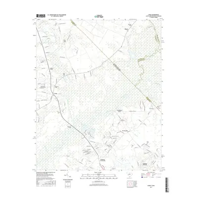
2017 Map of Longs
USGS Topo · Published 2017About this map
Little River and the meandering Waccamaw River define this coastal Carolina landscape where the state line meets the boundary between Horry and Columbus counties. The geography is characterized by an extensive network of wetlands and swampy basins, including Cawcaw Swamp and Baker Bay, which separate small upland settlements. Local history is anchored by family and community landmarks such as Worthams Ferry and a series of rural burial grounds like Butler Cem and Pleasant Plains Cem. The transition from rural crossroads like Stephens Crossroads and Longs toward the more established settlement of Little River reflects the traditional settlement patterns of the Lowcountry, where development closely followed the high ground between the river and the coastal marshes. Numerous infrastructure points, such as the Waccamaw Bridges and Indigo Bridge, highlight the critical role of river crossings in connecting these otherwise isolated South Carolina and North Carolina border communities.
Find a feature on this map
125 named features on this map. Tap any name to fly to it.
Don’t see what you’re looking for? This feature index may not catch every label — zoom into the map to look around manually.
Map Details
Editions of this 2017 Longs Map
This is the sole edition of this map. No revisions or reprints were ever made.
Other maps of this area

1937 · Nixonville
USGS Topo · 1:48,000

1942 · Nixonville
USGS Topo · 1:62,500

1943 · Little River
USGS Topo · 1:31,680

1943 · Pireway
USGS Topo · 1:31,680

1943 · Calabash
USGS Topo · 1:31,680

1943 · Wampee
USGS Topo · 1:24,000

1943 · Freeland
USGS Topo · 1:24,000

1944 · Longs
USGS Topo · 1:31,680

1949 · Georgetown
USGS Topo · 1:250,000
1953 · Little River
USGS Topo · 1:24,000