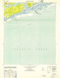
1953 Map of Little River
USGS Topo · Published 1953About this map
The settlement of Little River serves as the focal point for this coastal survey at the North Carolina and South Carolina border. The landscape is defined by the complex transition from the Intracoastal Waterway to the shifting sands of Waiter Island and Bird Island. Along the marshy banks, historical landmarks like The Battery and Horse Ford suggest the long-standing navigational and strategic importance of this river mouth. The geography is characterized by intricate tidal features such as Dunn Sound, Milliken Cove, and the narrow passages of The Big Narrows.
Find a feature on this map
38 named features on this map. Tap any name to fly to it.
Don’t see what you’re looking for? This feature index may not catch every label — zoom into the map to look around manually.
Map Details
Editions of this 1953 Little River Map
This is the sole edition of this map. No revisions or reprints were ever made.
Other maps of this area

1943 · Little River
USGS Topo · 1:31,680

1943 · Calabash
USGS Topo · 1:31,680

1943 · Wampee
USGS Topo · 1:24,000

1943 · Shallotte
USGS Topo · 1:24,000

1944 · Longs
USGS Topo · 1:31,680

1944 · Shallotte
USGS Topo · 1:31,680

1949 · Georgetown
USGS Topo · 1:250,000
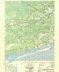
1950 · Shallotte
USGS Topo · 1:25,000

1953 · Longs
USGS Topo · 1:24,000
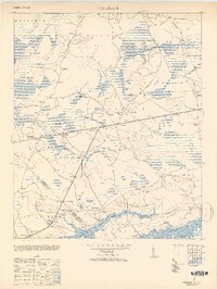
1953 · Calabash
USGS Topo · 1:24,000
Featured Places
- North Myrtle Beach, SC
- Sunset Beach, NC
- Futch Beach, North Myrtle Beach
- Little River, SC
- Horry County, SC