Loading...
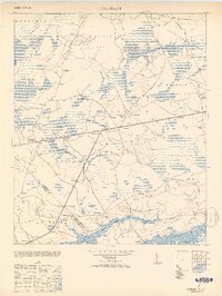
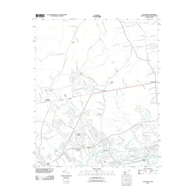
Loading map...1953 Map of Calabash
USGS Topo · Published 1953About this map
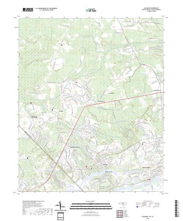
Calabash and its neighboring coastal settlements are captured here in the early 1950s, revealing a landscape defined by the winding Calabash Creek and the Intracoastal Waterway. The boundary between Brunswick County and Horry County splits the southern half of the map, marking the state line between North Carolina and South Carolina. Inland, the terrain transitions into a complex system of bay and swamp land, including the Waccamaw River Swamp and Cowcow Swamp.
Find a feature on this map
43 named features on this map. Tap any name to fly to it.
Don’t see what you’re looking for? This feature index may not catch every label — zoom into the map to look around manually.
Map Details
Date Portrayed1953
Date Published1953
PublisherU.S. Geological Survey
Map TypeTopographic
Scale1:24,000
Physical Dimensions21.91 x 29.19 inches
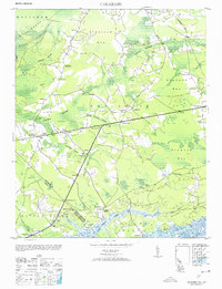
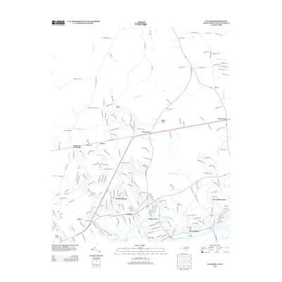
Editions of this 1953 Calabash Map
2 editions found
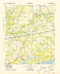
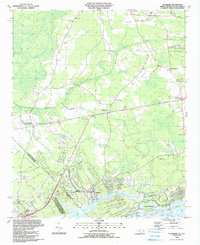
Historical Maps of Sunset Beach Through Time
8 maps found
Featured Locations
Source Details
SourceU.S. Geological Survey
CopyrightPublic Domain