Old Maps of Camden, South Carolina for Hiking & Exploration
Hike through history with 34 historic maps of Camden. Explore old trails, ghost towns, and forgotten backroads — perfect for outdoor adventurers and local explorers.
- Rediscover forgotten places: Map out old mining camps, roads, and footpaths that no longer exist on modern maps.
- Layer with modern tools: Combine with LiDAR or satellite views to plan hikes through historical terrain.
- Made for exploration: Popular among hikers, overlanders, and local history lovers.
Use these maps to find adventure and explore the hidden past of Camden.
Camden, SC maps
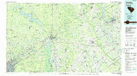
(34)- 1935 Map of Camden
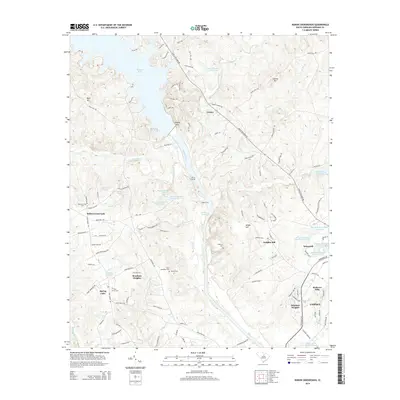
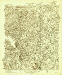 1935 Camden1935 Print · USGSCamden and the Wateree River basin are captured here in the mid-1930s, showing a region balanced between traditional river-powered mills and new infrastructure. Genealogists can trace family footprints near rural landmarks like Rabon Cross Roads, Kirkley Mill, and the Baron de Kalb Sch.2 unique versions available
 - 1938 Map of Camden
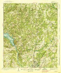 1938 Camden1938 Print · USGSMid-century Kershaw County comes alive here, showing the river-and-rail economy of the 1930s before modern development altered the landscape. Genealogists can trace family roots at Rabon Crossroads, Westville, and the many rural sites like Knight Hill Sch.2 unique versions available
 - 1938 Map of Hagood
 1938 Hagood1938 Print · USGSThe Wateree River basin comes to life in this pre-war study of the Kershaw and Sumter county borderlands. Researchers can trace the river's old crossings and mills at Ancrum Ferry and Boykin Mill Pond, alongside historic schools like Kershaw Industrial Sch.3 unique versions available
 - 1941 Map of Spartanburg
 1941 Spartanburg1941 Print · USGSSouth Carolina’s Piedmont and Sandhills regions are shown here during the mid-century peak of the rail era. Researchers can trace the sprawling Fort Jackson Military Reservation and the industrial growth of hubs like Spartanburg and Rock Hill.
 - 1942 Map of Camden
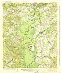
 1942 Camden1942 Print · USGSMid-century South Carolina comes into focus along the Wateree River as the region's rail and agricultural networks reached their peak. Genealogists and historians can trace old community hubs like Boykin Mill, Friends Neck Ch, and the grounds of the Sand Hill Experimental Station.
 - 1953 Map of Camden South, 1957 Print
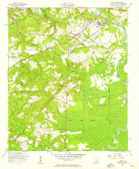
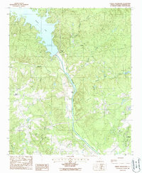
 1953 Camden South1957 Print · USGSThe Wateree River lowlands south of Camden come alive in this mid-century survey of Kershaw and Sumter counties. Researchers can trace historic family and community landmarks like Mulberry Plantation, the Boykin Cemetery, and Hermitage Mill.
 - 1953 Map of Lugoff, 1957 Print
 1953 Lugoff1957 Print · USGSKershaw County in the mid-fifties shows a landscape of rail-driven industry and rural community life near the Wateree River. Genealogists and historians can trace family-named sites like Porter Cemetery, the Green Hill School, and the abandoned gravel washer.
 - 1953 Map of Spartanburg, 1966 Print
 1953 Spartanburg1966 Print · USGSMid-century South Carolina comes into focus through this survey of the Piedmont and the Sand Hills at a time of significant reservoir expansion. Researchers can trace the legacy of industrial transit and resource extraction from the Haile Gold Mine to the rail hubs of the Seaboard Air Line.4 unique versions available
 - 1960 Map of Spartanburg
 1960 Spartanburg1960 Print · USGSThe South Carolina Piedmont and North Carolina borderlands come alive in this mid-century survey of the region between Spartanburg and Columbia. Researchers can trace the Seaboard Air Line railroad and explore landmarks like Anderson Quarry, Lake Murray, and Mount Croghan.2 unique versions available
 - 1963 Map of Spartanburg
 1963 Spartanburg1963 Print · USGSMid-century South Carolina comes alive in this survey, showing the rail-linked corridor between the Upstate and the Midlands. Genealogists can trace family lands near old hubs like Union and Lancaster, or along the banks of the Broad River and Pee Dee River.
 - 1964 Map of Spartanburg
 1964 Spartanburg1964 Print · USGSMid-century South Carolina comes alive in this survey of the Piedmont and Upcountry, stretching from the Blue Ridge foothills to the Sandhills. Genealogists and historians can trace the rail-and-river economy through Monarch Mills, Glenn Springs, and the Southern Railway corridor.
 - 1986 Map of Camden South
 1986 Camden South1986 Print · USGSThe South Carolina midlands come into focus in the mid-eighties, showing the sprawling corridors between the Wateree and Lynches Rivers. Genealogists and historians can trace family roots through numerous mill sites and rural junctions like Boykin, Lucknow, and Hermitage Mill Pond.4 unique versions available
 - 1988 Map of Rabon Crossroads
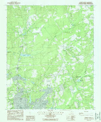
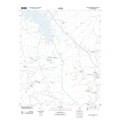
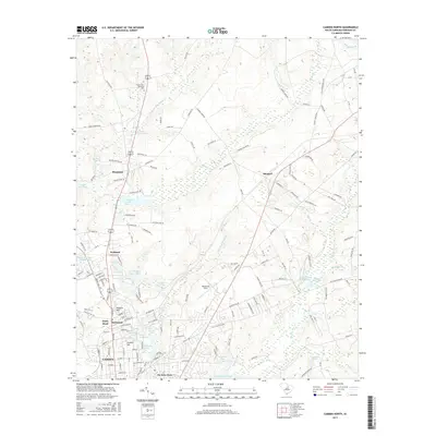
 1988 Rabon Crossroads1988 Print · USGSThe Wateree River valley in the late 1980s is shown here just as the landscape around Wateree Lake and the Wateree Dam was evolving. Researchers can trace rural lineages through sites like Rabon Crossroads, Eagles Nest, and several unnamed Cem locations.
 - 1988 Map of Camden North
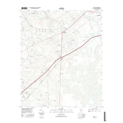
 1988 Camden North1988 Print · USGSKershaw County at the close of the 1980s reveals the northern growth of the historic city of Camden into the surrounding pine-tree creek bottoms. Genealogists and local researchers can trace the edges of Hermitage, locate Woodward Field, and explore the marshes of N R Goodale State Park.2 unique versions available
 - 2011 Map of Lugoff, 2011 Print
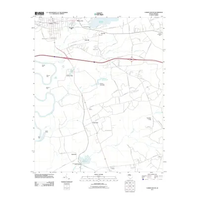
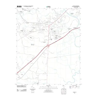 2011 Lugoff2011 Print · USGSCovers Camden, including Lugoff, Kellytown, and other nearby areas
 - 2011 Map of Rabon Crossroads, 2011 Print
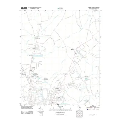
 2011 Rabon Crossroads2011 Print · USGSCovers Camden, including Knights Hill, Kirkover Hills, and other nearby areas
 - 2011 Map of Camden South, 2011 Print
 2011 Camden South2011 Print · USGSCovers Camden, including Hermitage Mill, Du Bose Park, and other nearby areas
 - 2011 Map of Camden North, 2011 Print
 2011 Camden North2011 Print · USGSCovers Camden, including Fairfax, Arrowwood, and other nearby areas
 - 2014 Map of Camden North, 2014 Print
 2014 Camden North2014 Print · USGSCovers Camden, including Fairfax, Arrowwood, and other nearby areas
 - 2014 Map of Rabon Crossroads, 2014 Print
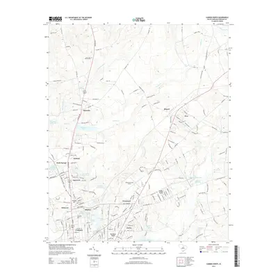
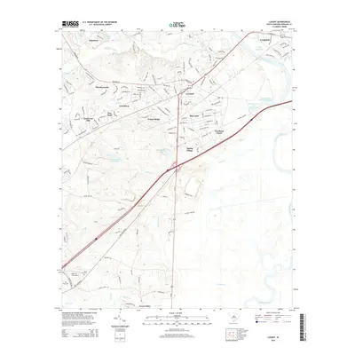
 2014 Rabon Crossroads2014 Print · USGSCovers Camden, including Knights Hill, Kirkover Hills, and other nearby areas
 - 2014 Map of Camden South, 2014 Print
 2014 Camden South2014 Print · USGSCovers Camden, including Hermitage Mill, Du Bose Park, and other nearby areas
 - 2014 Map of Lugoff, 2014 Print
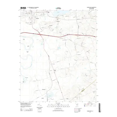
 2014 Lugoff2014 Print · USGSCovers Camden, including Lugoff, Kellytown, and other nearby areas
 - 2017 Map of Camden South, 2017 Print
 2017 Camden South2017 Print · USGSCovers Camden, including Hermitage Mill, Du Bose Park, and other nearby areas
 - 2017 Map of Lugoff, 2017 Print
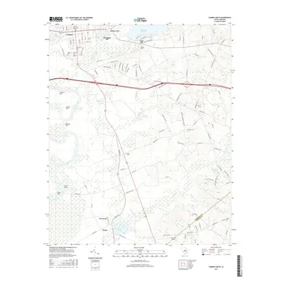
 2017 Lugoff2017 Print · USGSCovers Camden, including Lugoff, Kellytown, and other nearby areas
 - 2017 Map of Camden North, 2017 Print
 2017 Camden North2017 Print · USGSCovers Camden, including Fairfax, Arrowwood, and other nearby areas
Showing maps 1-25 of 34
Top cities near Camden
Top neighborhoods of Camden
- Dusty Bend historical maps
- Kirkwood historical maps
- Kirkover Hills historical maps
- Edgewood historical maps
- Sunnyhill historical maps
Frequently asked questions
- What are the different types of historical maps available for Camden?
- What is the oldest map of Camden?
- Where can I purchase historical maps of Camden for my home or office?
- Where can I download high-res historical maps of Camden?
- Are there historical topographic maps available for Camden?
- Is there historical aerial imagery available for Camden?
- Where are historical maps of Camden sourced from?