Old Maps of Gresham, South Carolina for Hiking & Exploration
Hike through history with 11 historic maps of Gresham. Explore old trails, ghost towns, and forgotten backroads — perfect for outdoor adventurers and local explorers.
- Rediscover forgotten places: Map out old mining camps, roads, and footpaths that no longer exist on modern maps.
- Layer with modern tools: Combine with LiDAR or satellite views to plan hikes through historical terrain.
- Made for exploration: Popular among hikers, overlanders, and local history lovers.
Use these maps to find adventure and explore the hidden past of Gresham.
Gresham, SC maps
(11)- 1946 Map of Johnsonville
 1946 Johnsonville1946 Print · USGSThe Pee Dee River basin and its surrounding swamplands are captured here in the mid-1940s, showing a landscape defined by river landings and rural crossroads. Genealogists and historians can locate dozens of country churches and schools, from Buzzard Skull Ch to the Gunter Island School.
 - 1949 Map of Georgetown, 1953 Print
 1949 Georgetown1953 Print · USGSThe South Carolina coast and North Carolina borderlands appear here in the mid-century, prior to the major modern development of the Grand Strand. Genealogists and historians can trace the rail networks of the Seaboard Air Line Railroad and locate coastal landmarks from Fort Caswell to McClellanville.
 - 1967 Map of Georgetown
 1967 Georgetown1967 Print · USGSThe South Carolina Lowcountry and Grand Strand meet in the late sixties, showcasing a coastal landscape transitioning from river-based industry to seaside tourism. Researchers can trace the Intracoastal Waterway past Georgetown or locate historical sites like Fort Fisher and Murrells Inlet.
 - 1974 Map of Georgetown, 1978 Print
 1974 Georgetown1978 Print · USGSThe Carolina coast and Pee Dee region are shown here in the mid-seventies, just as the Grand Strand was maturing into a premier destination. Researchers can trace the inland rail corridors of the Seaboard Coast Line Railroad or explore the coastal reaches of the Cape Romain National Wildlife Refuge and Myrtle Beach State Park.2 unique versions available
 - 1986 Map of Kingstree
 1986 Kingstree1986 Print · USGSThe South Carolina Lowcountry in the mid-eighties shows a landscape defined by the Black River and the growing coastal communities of the Grand Strand. Researchers can trace historic river settlements and rail stops like Salters Depot, Pamplico, and Hemingway.2 unique versions available
 - 1990 Map of Gresham
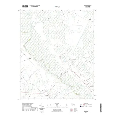
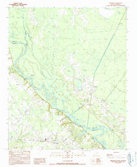 1990 Gresham1990 Print · USGSMarion and Florence counties met along the river in the 1990s, defined by the winding course of the Great Pee Dee River. Genealogists and historians can trace old community hubs like Gresham and Kingsburg or locate riverfront sites like Catfish Landing.
 - 2011 Map of Gresham, 2011 Print
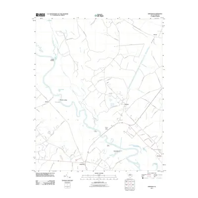 2011 Gresham2011 Print · USGSCovers Gresham, including Kingsburg, Bostick, and other nearby areas
 - 2014 Map of Gresham, 2014 Print
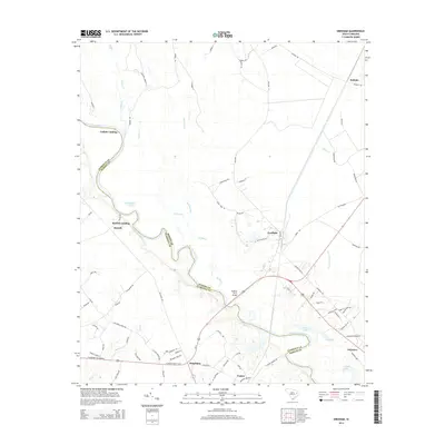 2014 Gresham2014 Print · USGSCovers Gresham, including Kingsburg, Bostick, and other nearby areas
 - 2017 Map of Gresham, 2017 Print
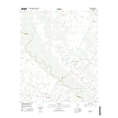 2017 Gresham2017 Print · USGSCovers Gresham, including Kingsburg, Bostick, and other nearby areas
 - 2020 Map of Gresham, 2020 Print
 2020 Gresham2020 Print · USGSCovers Gresham, including Kingsburg, Bostick, and other nearby areas
 - 2024 Map of Gresham, 2024 Print
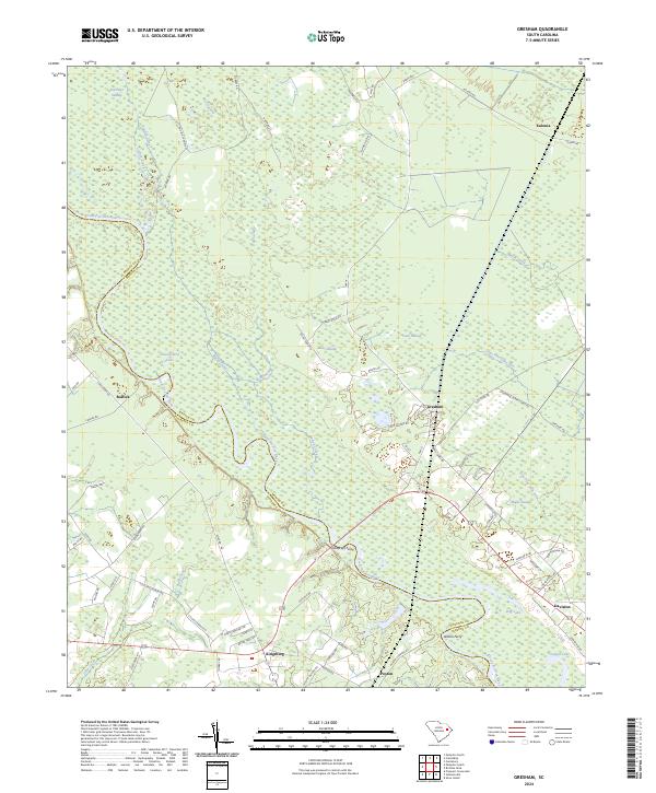 2024 Gresham2024 Print · USGSThe Great Pee Dee River floodplain at the Florence and Marion county line is captured in this recent survey. Local historians can trace old river crossings at Godfreys Ferry and Allison Ferry or locate the rural communities of Gresham and Kingsburg.
End of results
Showing maps 1-11 of 11
Top cities near Gresham
- Johnsonville historical maps
- Pamplico historical maps
- Aynor historical maps
- Hemingway historical maps
- Stuckey historical maps
Frequently asked questions
- What are the different types of historical maps available for Gresham?
- What is the oldest map of Gresham?
- Where can I purchase historical maps of Gresham for my home or office?
- Where can I download high-res historical maps of Gresham?
- Are there historical topographic maps available for Gresham?
- Is there historical aerial imagery available for Gresham?
- Where are historical maps of Gresham sourced from?