Old Maps of Monetta, South Carolina for Metal Detecting
Plan your next treasure hunt with 12 historic maps of Monetta. Find old homesites, ghost towns, trails, and gathering spots that may be lost to time — perfect for identifying promising metal detecting locations.
- Locate forgotten sites: Uncover places like long-lost settlements, abandoned rail lines, or gathering spots.
- Plan better hunts: Use map overlays combined with LiDAR or satellite views to narrow in on historically rich areas.
- Made for detectorists: Thousands of hobbyists use these maps to discover relics, coins, and hidden history.
Use these historic maps to boost your research and find new opportunities beneath the surface of Monetta.
Monetta, SC maps
(12)- 1954 Map of Augusta
 1954 Augusta1954 Print · USGSThe Savannah River valley and South Carolina Midlands are captured here during a period of post-war growth. Researchers can trace the rail-and-river economy through the Southern RR corridor and locate historic settlements like Aiken, Orangeburg, and Sumter.
 - 1957 Map of Augusta, 1966 Print
 1957 Augusta1966 Print · USGSThe Savannah River and Santee basins are captured here during a period of massive military and industrial expansion in the late fifties. Genealogists can trace family footprints across Four Hole Swamp or near the Savannah River Plant.3 unique versions available
 - 1958 Map of Augusta
 1958 Augusta1958 Print · USGSThe borderlands between Georgia and South Carolina come alive in the 1950s, showing the early footprint of the Savannah River Plant. Genealogists and historians can trace rail-dependent towns and rural landmarks from Orangeburg to the Fort Jackson Military Reservation.
 - 1961 Map of Augusta
 1961 Augusta1961 Print · USGSThe South Carolina lowcountry and CSRA appear here in the early sixties, during a period of massive military and industrial growth. Researchers can trace the development of the Savannah River Plant or locate legacy landmarks like Nelson Ferry and Magnolia Cemetery.2 unique versions available
 - 1962 Map of Augusta
 1962 Augusta1962 Print · USGSThe South Carolina and Georgia borderlands are seen here in the early sixties, showing the rise of the Savannah River Plant and the expansion of Fort Jackson. Researchers can trace old rail lines like the Southern Railway and find landmarks such as St. Pauls Church or the Santee Canal.
 - 1964 Map of Monetta, 1965 Print
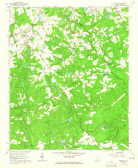 1964 Monetta1965 Print · USGSMonetta and its surrounding farmsteads are captured in the mid-sixties at the junction of three South Carolina counties. Researchers can trace old family lines through Monetta Cemetery and the Kneece settlement, or locate mid-century landmarks like the Drive-in Theater.2 unique versions available
 - 1983 Map of Aiken, 1984 Print
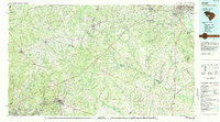 1983 Aiken1984 Print · USGSThe Savannah River valley and South Carolina sandhills are shown in detail during the early eighties, as industry and education expanded. Researchers can trace the rail corridors of the Southern and Seaboard Coast Line through communities like Graniteville and Leesville.
 - 2011 Map of Monetta, 2011 Print
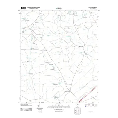 2011 Monetta2011 Print · USGSMonetta and Jones Crossroads appear here during the early twenty-first century, showcasing a rural landscape shaped by family-named landmarks. Researchers can trace local genealogy through numerous sites like Bethel Cemetery, Williams Cemetery, and Kneeces Mill Pond.
 - 2014 Map of Monetta, 2014 Print
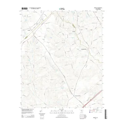 2014 Monetta2014 Print · USGSThe Ridge country in the early 2010s reveals a landscape of persistent family heritage and peach-growing tradition. Genealogists and researchers can trace lineage through numerous family burial sites like Quattlebaum Cem and Kneece Cem or follow the historic Old 96 Indian Trl.
 - 2017 Map of Monetta, 2017 Print
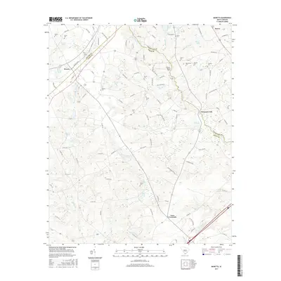 2017 Monetta2017 Print · USGSThe Ridge country of South Carolina comes alive in the late 2010s, showing a landscape of family-run farms and traditional crossroads. Researchers can locate numerous ancestral burial grounds like Quattlebaum Cem and Williams Cem, or trace the waters of Chinquapin Falls.
 - 2020 Map of Monetta, 2020 Print
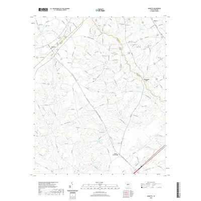 2020 Monetta2020 Print · USGSThe crossroads of Aiken, Saluda, and Lexington counties are captured here in the 2020s, showing a landscape defined by historic routes and family landholdings. Researchers can trace ancestral sites like Kneece Cem and Shealy Cem or follow the path of the Old Ninety Six Indian Trl.
 - 2024 Map of Monetta, 2024 Print
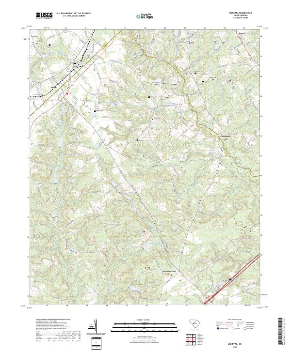 2024 Monetta2024 Print · USGSMonetta and the surrounding rural corridors of Saluda and Aiken counties are captured in this recent survey. Genealogists can locate numerous family burial sites like Quattlebaum Cem and Holstein Cem alongside landmarks like Kneeces Mill Pond.
End of results
Showing maps 1-12 of 12
Top cities near Monetta
- Saluda historical maps
- Johnston historical maps
- Gilbert historical maps
- Ridge Spring historical maps
- Summit historical maps
- Trenton historical maps
See more
Frequently asked questions
- What are the different types of historical maps available for Monetta?
- What is the oldest map of Monetta?
- Where can I purchase historical maps of Monetta for my home or office?
- Where can I download high-res historical maps of Monetta?
- Are there historical topographic maps available for Monetta?
- Is there historical aerial imagery available for Monetta?
- Where are historical maps of Monetta sourced from?