2020s Maps of Devils Cross Roads, South Carolina
Explore 2 historic maps of Devils Cross Roads from the 2020s. These maps offer a rare glimpse into what life looked like during the 2020s — showing old roads, neighborhoods, homes, and landmarks that have changed or disappeared over time.
Whether you're researching your family's past, planning a metal detecting trip, or studying how Devils Cross Roads's landscape evolved across the 2020s, these high-resolution maps are a powerful tool for exploring the history of this region.
- Focus on a specific era: All maps on this page are from the 2020s, giving you a focused view of this time period.
- See what’s changed: Compare century-old streets, trails, and buildings to today's modern landscape using overlays and satellite layers.
- Research with precision: Use these maps for genealogy, historical research, land use analysis, or educational projects.
- View, download, or print: Maps are fully viewable online in high resolution, and can be downloaded or printed for your own records.
Start exploring Devils Cross Roads's history through authentic maps from the 2020s. This is your window into the past.
Devils Cross Roads, SC maps
(2)- 2020 Map of Newberry East, 2020 Print
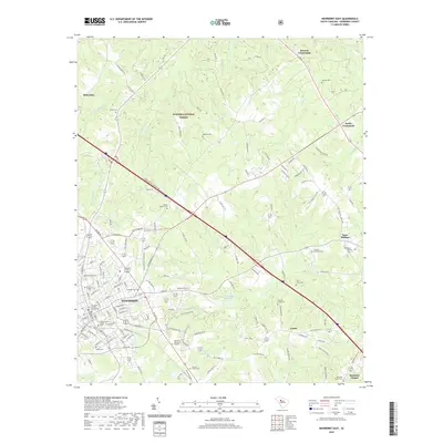 2020 Newberry East2020 Print · USGSCovers Devils Cross Roads, including Newberry, Beth Eden, and other nearby areas
 - 2024 Map of Newberry East, 2024 Print
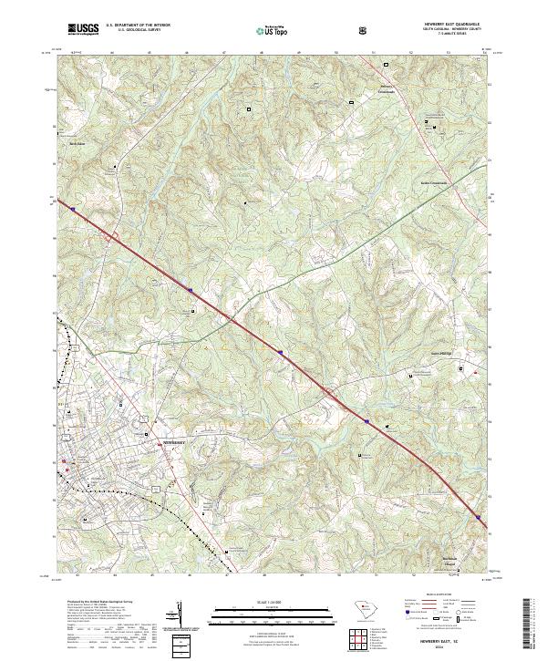 2024 Newberry East2024 Print · USGSThe town of NEWBERRY and its surrounding forest lands are shown here in modern detail, maintaining much of their early South Carolina character. Researchers can locate numerous historic burial grounds and institutions, from Newberry College and Rosemont Cem to the rural Queens Church Graveyard.
End of results
Showing maps 1-2 of 2
Top cities near Devils Cross Roads
- Newberry historical maps
- Clinton historical maps
- Whitmire historical maps
- Joanna historical maps
- Prosperity historical maps
- Helena historical maps
See more
Frequently asked questions
- What are the different types of historical maps available for Devils Cross Roads?
- What is the oldest map of Devils Cross Roads?
- Where can I purchase historical maps of Devils Cross Roads for my home or office?
- Where can I download high-res historical maps of Devils Cross Roads?
- Are there historical topographic maps available for Devils Cross Roads?
- Is there historical aerial imagery available for Devils Cross Roads?
- Where are historical maps of Devils Cross Roads sourced from?