Old Maps of Easley, South Carolina for Genealogy
Trace your family roots with 19 historic maps of Easley. These high-res maps reveal old neighborhoods, homesites, landmarks, and streets — helping you uncover where your ancestors lived and how the area evolved over time.
- Explore historic neighborhoods: Identify where your relatives may have lived in the 1800s or 1900s.
- Compare maps over time: Trace the changes in streets, buildings, and landmarks for multi-generational research.
- Perfect for genealogy & ancestry research: Used by family historians and researchers to map out lineage and migration.
These maps are an incredible resource for exploring your personal connection to Easley's past.
Easley, SC maps
(19)- 1888 Map of Pickens
 1888 Pickens1888 Print · USGSThe South Carolina Piedmont comes alive in the late nineteenth century, showing the rural communities of Pickens and Anderson. Genealogists can trace family landmarks like Sutton's Mill, Six Mile Church, and river crossings at Cherry's Ferry.
 - 1894 Map of Pickens
 1894 Pickens1894 Print · USGSNorthwest South Carolina in the late nineteenth century was a landscape of river-driven industry and emerging rail lines. Researchers can trace ancestral roots through family landmarks like Watson Mill, the community at Old Pickens, and the rural New Hope Church.6 unique versions available
 - 1954 Map of Greenville, 1965 Print
 1954 Greenville1965 Print · USGSThe Upstate and Northeast Georgia are captured here during a decade of massive transformation as new reservoirs reshaped the Piedmont. Genealogists and hikers can trace the Appalachian Trail over Brasstown Bald or locate old community centers like Demorest, Westminster, and Royston.3 unique versions available
 - 1957 Map of Easley, 1958 Print
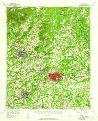 1957 Easley1958 Print · USGSIn the mid-1950s, the textile and rail corridor between Easley and Liberty hummed with Piedmont industry. Genealogists and local historians can trace family roots through numerous rural sites like Bruce-Hagood Cem, Dacusville, and the historic Pickensville settlement.2 unique versions available
 - 1958 Map of Greenville
 1958 Greenville1958 Print · USGSThe Piedmont and Blue Ridge foothills come alive in this mid-century survey of the Upstate and Northeast Georgia. Trace the regional rail-and-river economy through the Southern Railway corridors and early reservoir developments like Lake Sidney Lanier.
 - 1983 Map of Liberty
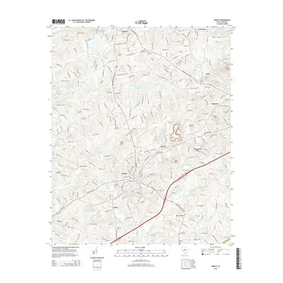
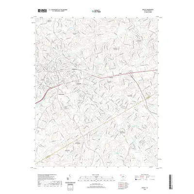
 1983 Liberty1983 Print · USGSThe Southern railway corridor and Piedmont foothills define this part of Pickens County in the early eighties. Researchers can trace family sites at Rices Creek Ch, locate the old Drive-In Theater, or survey the grounds of Hillcrest Memorial Park.2 unique versions available
 - 1983 Map of Easley
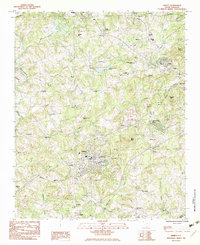
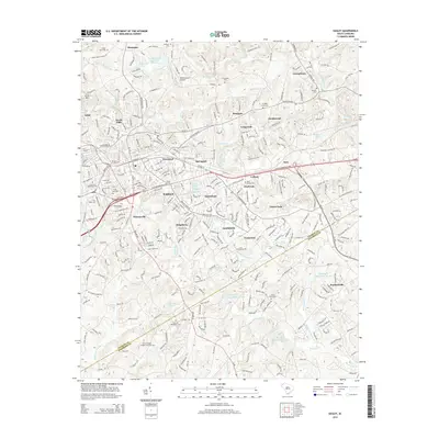
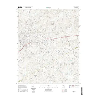
 1983 Easley1983 Print · USGSEasley and its surrounding rural communities are captured here in the early eighties, showcasing the area's growth along the Southern railroad. Genealogists can locate numerous local landmarks like Three and Twenty Ch, Rock Spring Ch, and the McKissick Sch.
 - 1984 Map of Greenville
 1984 Greenville1984 Print · USGSThe South Carolina Upstate undergoes rapid suburban growth in the mid-eighties as modern interstates begin to reshape the landscape. Researchers can trace historic rail lines like the Greenville and Northern Railway and locate local landmarks such as Clemson University and Paris Mountain State Park.
 - 1991 Map of Greenville
 1991 Greenville1991 Print · USGSThe South Carolina Upstate was a landscape of rapid growth and engineering in the early nineties. Researchers can trace the expansion of Greenville and Spartanburg, find Clemson University, or study the massive reservoirs of Hartwell Lake and Lake Keowee.
 - 2011 Map of Easley, 2011 Print
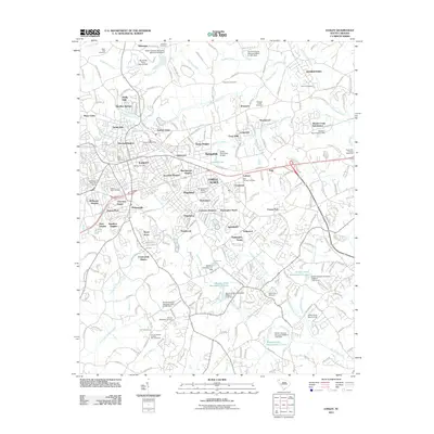 2011 Easley2011 Print · USGSCovers Easley, including Lathem, Monte Vista, and other nearby areas
 - 2011 Map of Liberty, 2011 Print
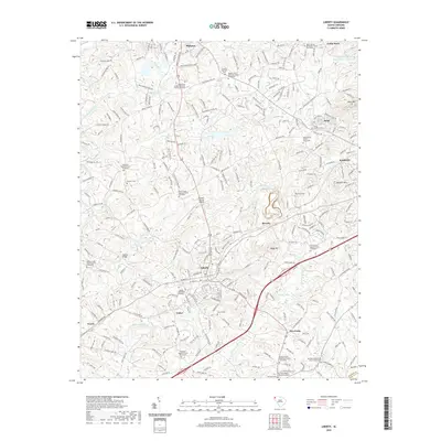
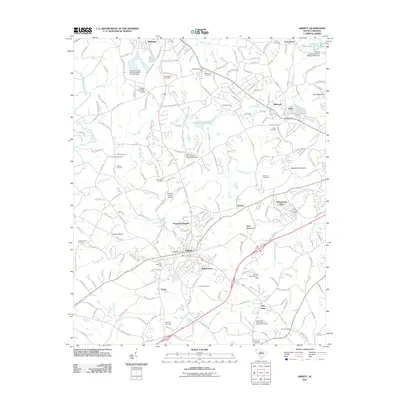 2011 Liberty2011 Print · USGSCovers Easley, including Liberty, Pickens, and other nearby areas
 - 2014 Map of Liberty, 2014 Print
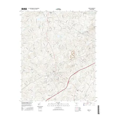
 2014 Liberty2014 Print · USGSCovers Easley, including Liberty, Pickens, and other nearby areas
 - 2014 Map of Easley, 2014 Print
 2014 Easley2014 Print · USGSCovers Easley, including Lathem, Monte Vista, and other nearby areas
 - 2017 Map of Liberty, 2017 Print
 2017 Liberty2017 Print · USGSCovers Easley, including Liberty, Pickens, and other nearby areas
 - 2017 Map of Easley, 2017 Print
 2017 Easley2017 Print · USGSCovers Easley, including Lathem, Monte Vista, and other nearby areas
 - 2020 Map of Easley, 2020 Print
 2020 Easley2020 Print · USGSCovers Easley, including Lathem, Monte Vista, and other nearby areas
 - 2020 Map of Liberty, 2020 Print
 2020 Liberty2020 Print · USGSCovers Easley, including Liberty, Pickens, and other nearby areas
 - 2024 Map of Easley, 2024 Print
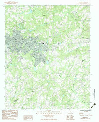
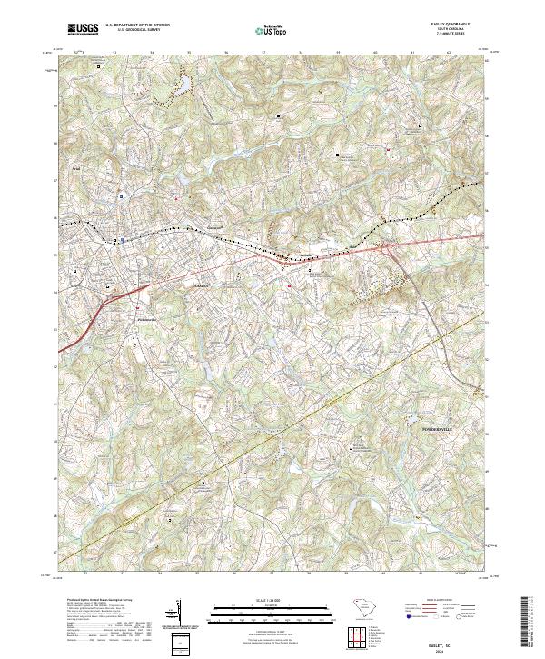 2024 Easley2024 Print · USGSThe Pickens and Anderson county line area is captured here during a period of modern expansion around the traditional textile hub of EASLEY. Researchers can trace local lineage through numerous historic sites like Pickensville, Easley Mill Cemetery, and the Antioch United Methodist Church Graveyard.
 - 2024 Map of Liberty, 2024 Print
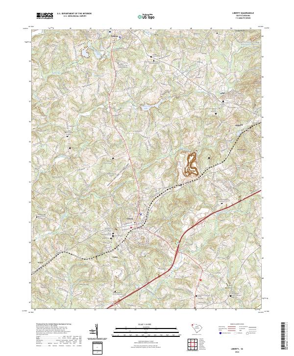 2024 Liberty2024 Print · USGSLiberty and its neighboring communities in the Piedmont are shown here in recent years as they balance modern growth with deep historical roots. Genealogists can trace family names at the Ruhamah Baptist Church Graveyard, Clayton Cem, or along the historic Pickens Railroad corridor.
End of results
Showing maps 1-19 of 19
Top cities near Easley
- Greenville historical maps
- Clemson historical maps
- Piedmont historical maps
- Travelers Rest historical maps
- Central historical maps
- Williamston historical maps
See more
Top neighborhoods of Easley
- Cherokee Forest historical maps
- Timberlane historical maps
- Huntington North historical maps
- Kingsberry historical maps
- Marshall Heights historical maps
- McDaniel Heights historical maps
See more
Frequently asked questions
- What are the different types of historical maps available for Easley?
- What is the oldest map of Easley?
- Where can I purchase historical maps of Easley for my home or office?
- Where can I download high-res historical maps of Easley?
- Are there historical topographic maps available for Easley?
- Is there historical aerial imagery available for Easley?
- Where are historical maps of Easley sourced from?