Old Maps of Pickens, South Carolina for Academic Research
Study the evolution of Pickens with 19 high-resolution historic maps. Whether you're teaching, researching, or modeling changes in land use, these maps provide essential visual documentation of urban, environmental, and geographic change.
- Analyze long-term change: Track patterns in development, transportation, and natural features.
- Ideal for environmental or urban studies: Support academic projects with primary historical map data.
- Use in the classroom or lab: Educators and researchers rely on these maps to bring historical context to life.
These maps are a powerful tool for teaching, research, and visualizing how Pickens has changed over the decades.
Pickens, SC maps
(19)- 1888 Map of Pickens
 1888 Pickens1888 Print · USGSThe South Carolina Piedmont comes alive in the late nineteenth century, showing the rural communities of Pickens and Anderson. Genealogists can trace family landmarks like Sutton's Mill, Six Mile Church, and river crossings at Cherry's Ferry.
 - 1894 Map of Pickens
 1894 Pickens1894 Print · USGSNorthwest South Carolina in the late nineteenth century was a landscape of river-driven industry and emerging rail lines. Researchers can trace ancestral roots through family landmarks like Watson Mill, the community at Old Pickens, and the rural New Hope Church.6 unique versions available
 - 1954 Map of Greenville, 1965 Print
 1954 Greenville1965 Print · USGSThe Upstate and Northeast Georgia are captured here during a decade of massive transformation as new reservoirs reshaped the Piedmont. Genealogists and hikers can trace the Appalachian Trail over Brasstown Bald or locate old community centers like Demorest, Westminster, and Royston.3 unique versions available
 - 1957 Map of Easley, 1958 Print
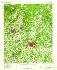 1957 Easley1958 Print · USGSIn the mid-1950s, the textile and rail corridor between Easley and Liberty hummed with Piedmont industry. Genealogists and local historians can trace family roots through numerous rural sites like Bruce-Hagood Cem, Dacusville, and the historic Pickensville settlement.2 unique versions available
 - 1958 Map of Greenville
 1958 Greenville1958 Print · USGSThe Piedmont and Blue Ridge foothills come alive in this mid-century survey of the Upstate and Northeast Georgia. Trace the regional rail-and-river economy through the Southern Railway corridors and early reservoir developments like Lake Sidney Lanier.
 - 1983 Map of Liberty
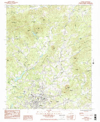
 1983 Liberty1983 Print · USGSThe Southern railway corridor and Piedmont foothills define this part of Pickens County in the early eighties. Researchers can trace family sites at Rices Creek Ch, locate the old Drive-In Theater, or survey the grounds of Hillcrest Memorial Park.2 unique versions available
 - 1983 Map of Pickens
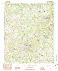
 1983 Pickens1983 Print · USGSThe foothills of the Blue Ridge come alive in the early 1980s as the town of Pickens expands toward the northern ridges. Genealogists can trace a remarkable density of local landmarks, from the Oolenoy Ch and Bethany Ch to the slopes of Glassy Mtn.2 unique versions available
 - 1984 Map of Greenville
 1984 Greenville1984 Print · USGSThe South Carolina Upstate undergoes rapid suburban growth in the mid-eighties as modern interstates begin to reshape the landscape. Researchers can trace historic rail lines like the Greenville and Northern Railway and locate local landmarks such as Clemson University and Paris Mountain State Park.
 - 1991 Map of Greenville
 1991 Greenville1991 Print · USGSThe South Carolina Upstate was a landscape of rapid growth and engineering in the early nineties. Researchers can trace the expansion of Greenville and Spartanburg, find Clemson University, or study the massive reservoirs of Hartwell Lake and Lake Keowee.
 - 2011 Map of Pickens, 2011 Print
 2011 Pickens2011 Print · USGSCovers Pickens, including Pleasant View, Midway, and other nearby areas
 - 2011 Map of Liberty, 2011 Print
 2011 Liberty2011 Print · USGSCovers Pickens, including Easley, Liberty, and other nearby areas
 - 2014 Map of Pickens, 2014 Print
 2014 Pickens2014 Print · USGSCovers Pickens, including Pleasant View, Midway, and other nearby areas
 - 2014 Map of Liberty, 2014 Print
 2014 Liberty2014 Print · USGSCovers Pickens, including Easley, Liberty, and other nearby areas
 - 2017 Map of Liberty, 2017 Print
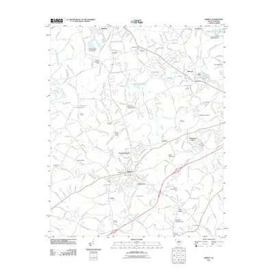
 2017 Liberty2017 Print · USGSCovers Pickens, including Easley, Liberty, and other nearby areas
 - 2017 Map of Pickens, 2017 Print
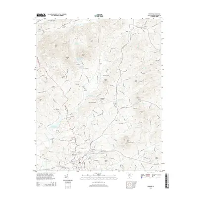
 2017 Pickens2017 Print · USGSCovers Pickens, including Pleasant View, Midway, and other nearby areas
 - 2020 Map of Liberty, 2020 Print
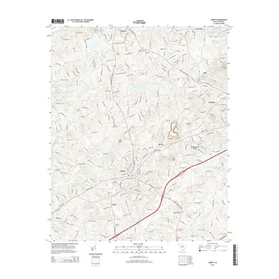
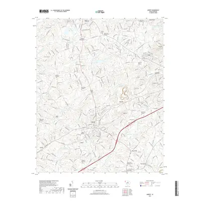 2020 Liberty2020 Print · USGSCovers Pickens, including Easley, Liberty, and other nearby areas
 - 2020 Map of Pickens, 2020 Print
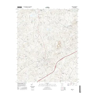
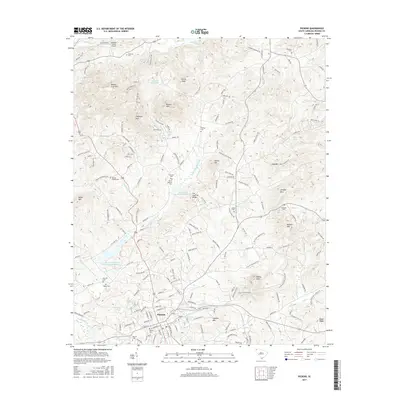
 2020 Pickens2020 Print · USGSCovers Pickens, including Pleasant View, Midway, and other nearby areas
 - 2024 Map of Pickens, 2024 Print
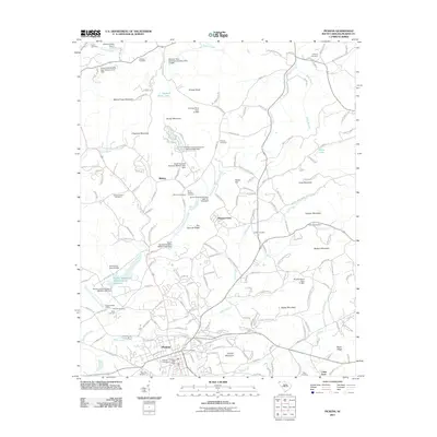
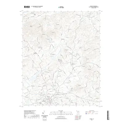
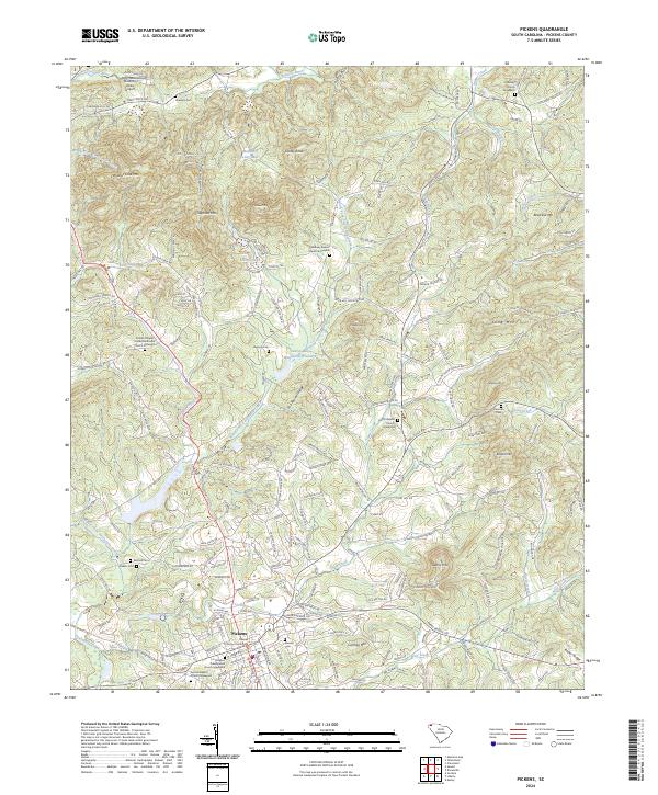 2024 Pickens2024 Print · USGSThe Upstate's rolling foothills and the county seat of Pickens are documented here in detail, showcasing a landscape of ridges and rural settlements. Researchers can trace family history through local landmarks like Secona Baptist Church Graveyard, Hagood Cem, and the County Courthouse.
 - 2024 Map of Liberty, 2024 Print
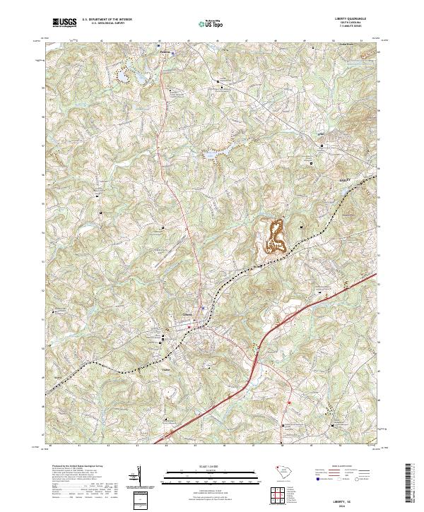 2024 Liberty2024 Print · USGSLiberty and its neighboring communities in the Piedmont are shown here in recent years as they balance modern growth with deep historical roots. Genealogists can trace family names at the Ruhamah Baptist Church Graveyard, Clayton Cem, or along the historic Pickens Railroad corridor.
End of results
Showing maps 1-19 of 19
Top cities near Pickens
- Easley historical maps
- Clemson historical maps
- Seneca historical maps
- Piedmont historical maps
- Central historical maps
- Liberty historical maps
See more
Frequently asked questions
- What are the different types of historical maps available for Pickens?
- What is the oldest map of Pickens?
- Where can I purchase historical maps of Pickens for my home or office?
- Where can I download high-res historical maps of Pickens?
- Are there historical topographic maps available for Pickens?
- Is there historical aerial imagery available for Pickens?
- Where are historical maps of Pickens sourced from?