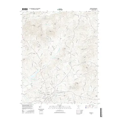
2017 Map of Pickens
USGS Topo · Published 2017About this map
Pickens serves as the focal point for this Upstate South Carolina landscape, where the town's grid meets the foothills of the Blue Ridge. The terrain is defined by a series of prominent peaks and ridges, including Walnut Cove Mtn, Glassy Mtn, and Brown Mtn. Water management is a significant feature of the geography, evidenced by the Twelve-Mile-River Watershed Six Reservoir and the Twelve Mile Watershed Structure located near the N Fork Twelvemile Cr. For those researching local families, the map reveals numerous burial sites scattered across the countryside, from Pickens Cem and Sunrise Cem near the town center to more isolated locations like Chastain Cem and Bruce Hagood Cem. Aviation history is represented by the Oolenoy Valley Airport in the north, situated near the Oolenoy River.
Find a feature on this map
174 named features on this map. Tap any name to fly to it.
Don’t see what you’re looking for? This feature index may not catch every label — zoom into the map to look around manually.
Map Details
Editions of this 2017 Pickens Map
This is the sole edition of this map. No revisions or reprints were ever made.
Other maps of this area
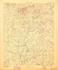
1888 · Pickens
USGS Topo · 1:125,000
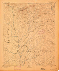
1894 · Pickens
USGS Topo · 1:125,000
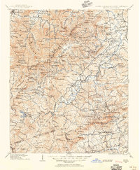
1905 · Pisgah
USGS Topo · 1:125,000
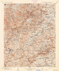
1906 · Pisgah
USGS Topo · 1:125,000
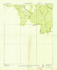
1935 · Eastatoe Gap
USGS Topo · 1:24,000
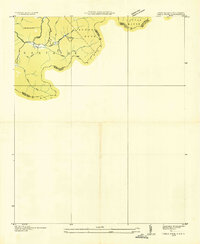
1935 · Table Rock
USGS Topo · 1:24,000
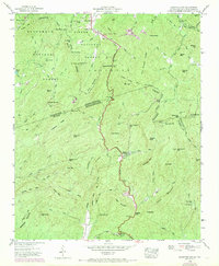
1946 · Eastatoe Gap
USGS Topo · 1:24,000
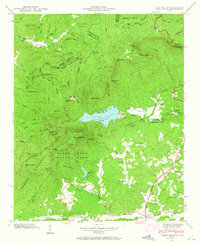
1946 · Table Rock
USGS Topo · 1:24,000
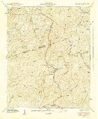
1947 · Eastatoe Gap
USGS Topo · 1:24,000
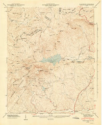
1947 · Table Rock
USGS Topo · 1:24,000