
1935 Map of Table Rock
USGS Topo · Published 1935About this map
The French Broad River and its upper tributaries dominate this mid-1930s topographic study of the highlands straddling the North Carolina and South Carolina border. This advance sheet, compiled from aerial photographs for the Tennessee Valley Authority, captures the hydrological network where the East Fork joins the main river channel. The terrain is defined by prominent high points such as Rocky Mtn and Dunns Rock, along with the massive expanse of the Blue Ridge and Eastatoe Ridge.
Find a feature on this map
18 named features on this map. Tap any name to fly to it.
Don’t see what you’re looking for? This feature index may not catch every label — zoom into the map to look around manually.
Map Details
Editions of this 1935 Table Rock Map
This is the sole edition of this map. No revisions or reprints were ever made.
Other maps of this area

1888 · Pickens
USGS Topo · 1:125,000

1894 · Pickens
USGS Topo · 1:125,000

1905 · Pisgah
USGS Topo · 1:125,000

1906 · Pisgah
USGS Topo · 1:125,000

1935 · Brevard
USGS Topo · 1:24,000

1935 · Eastatoe Gap
USGS Topo · 1:24,000

1935 · Standingstone Mtn.
USGS Topo · 1:24,000

1935 · Rosman
USGS Topo · 1:24,000
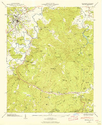
1945 · Brevard
USGS Topo · 1:24,000
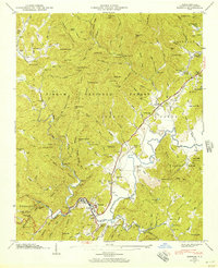
1945 · Rosman
USGS Topo · 1:24,000