2020s Maps of Richland County, South Carolina
Explore 54 historic maps of Richland County from the 2020s. These maps offer a rare glimpse into what life looked like during the 2020s — showing old roads, neighborhoods, homes, and landmarks that have changed or disappeared over time.
Whether you're researching your family's past, planning a metal detecting trip, or studying how Richland County's landscape evolved across the 2020s, these high-resolution maps are a powerful tool for exploring the history of this region.
- Focus on a specific era: All maps on this page are from the 2020s, giving you a focused view of this time period.
- See what’s changed: Compare century-old streets, trails, and buildings to today's modern landscape using overlays and satellite layers.
- Research with precision: Use these maps for genealogy, historical research, land use analysis, or educational projects.
- View, download, or print: Maps are fully viewable online in high resolution, and can be downloaded or printed for your own records.
Start exploring Richland County's history through authentic maps from the 2020s. This is your window into the past.
Richland County, SC maps
(54)- 2020 Map of Saylors Lake, 2020 Print
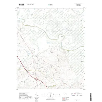 2020 Saylors Lake2020 Print · USGSThe Congaree River lowlands of Calhoun and Richland counties are captured here in the contemporary era. Researchers can trace local heritage through several family-named landmarks and rural burial grounds, including Mount Moriah Cem, Kaigler Cem, and the Mullers Barn Ridge.
 - 2020 Map of Fort Jackson South, 2020 Print
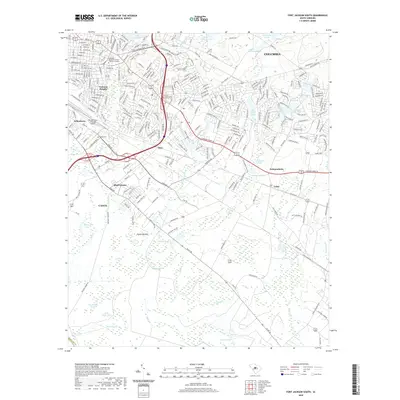 2020 Fort Jackson South2020 Print · USGSThe southern fringes of COLUMBIA and the industrial corridors of CAYCE are visible here at the start of the 2020s. Genealogists and historians can trace neighborhood developments in Valencia Heights or locate family markers at Childs Cem.
 - 2020 Map of Gadsden, 2020 Print
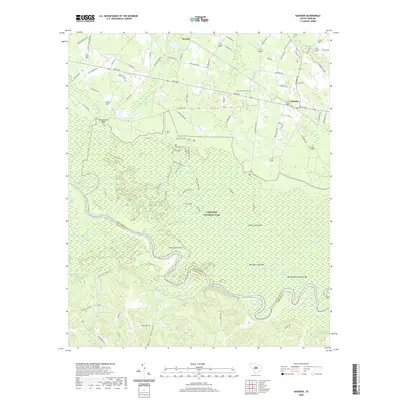 2020 Gadsden2020 Print · USGSRichland County's river-bottom lands are shown here in the contemporary era, centered on the protected wilderness of the Congaree National Park. Researchers can trace the rural communities of Weston and Gadsden or locate historic floodplain landmarks like Bradys Cattle Mt and Bannisters Bridge.
 - 2020 Map of Poinsett State Park, 2020 Print
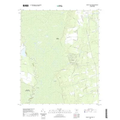 2020 Poinsett State Park2020 Print · USGSSumter and Richland counties meet along the Wateree River bottomlands in this recent survey. Researchers can trace historic family burial sites at Bloom Hill Cem and follow old corridors like Old Starks Ferry Rd through Poinsett State Park.
 - 2020 Map of Wateree, 2020 Print
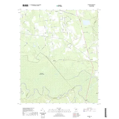 2020 Wateree2020 Print · USGSRichland County's river-bottom forests and rural uplands are shown here in the contemporary era. Researchers can locate family burial sites like Tom Seay Cem and trace the winding waters of Devils Elbow near the historic crossing at Kingville.
 - 2020 Map of Eastover, 2020 Print
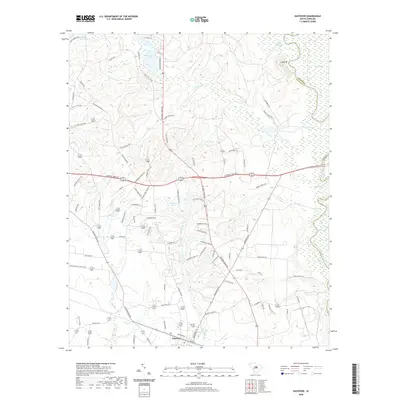 2020 Eastover2020 Print · USGSThe rural landscape of Richland County comes to life in this modern survey of the town and its surrounding swamplands. Researchers can trace family-named roads and landmarks from Eastover to the Wateree River, identifying unique local features like Cooks Mt and Wilson Mill Pond.
 - 2020 Map of Fort Motte, 2020 Print
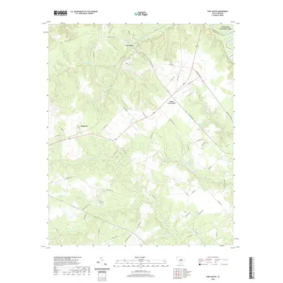 2020 Fort Motte2020 Print · USGSCalhoun County and the lowlands near the Richland County line are documented here in 2020. Researchers can trace family-named landmarks and rural settlements like Fort Motte, Wiles Crossroads, and Shay Hane Cabin Pond near the Congaree National Park.
 - 2020 Map of Congaree, 2020 Print
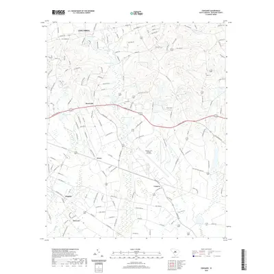 2020 Congaree2020 Print · USGSRichland County, South Carolina, is depicted here in the early twenty-first century as a mix of military installations and historic rural communities. Researchers can locate family landmarks and sites like Logues Cem, Horrel Hill, and the wetlands surrounding Congaree.
 - 2020 Map of Lone Star, 2020 Print
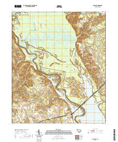 2020 Lone Star2020 Print · USGSCovers Richland County, including Fulton Crossroads, Lone Star, and other nearby areas
 - 2020 Map of Wedgefield, 2020 Print
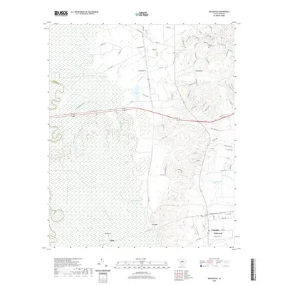 2020 Wedgefield2020 Print · USGSThe High Hills of Santee meet the sprawling Wateree riverbanks in this recent survey of Sumter County. Researchers can locate General Sumters Tomb and trace the historic settlement footprints of Claremont, Foxville, and Wedgefield.
 - 2020 Map of Southwest Columbia, 2020 Print
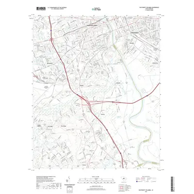 2020 Southwest Columbia2020 Print · USGSColumbia and its surrounding riverfront communities are captured here in 2020 at a point of high density and transit connectivity. Researchers can trace the layout of the University of South Carolina or locate family sites at Pisgah Cem and Sightler Cem.
 - 2020 Map of Gaston, 2020 Print
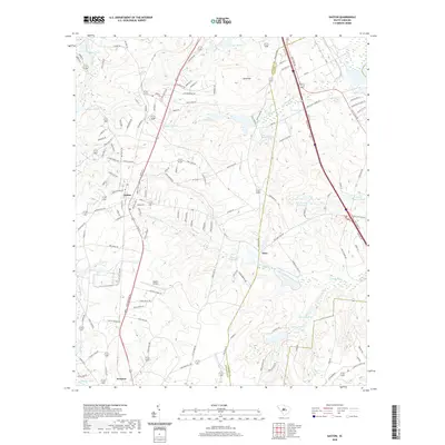 2020 Gaston2020 Print · USGSGaston and Swansea define this corner of South Carolina in the modern era, where established settlements meet a complex drainage system of ponds and creeks. Researchers can trace the layout of local infrastructure and landmarks like Gaston Airport and Moores Millpond.
 - 2020 Map of Blythewood, 2020 Print
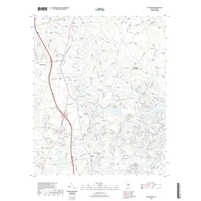 2020 Blythewood2020 Print · USGSBlythewood and northern Richland County are shown in this 2020 survey as a blend of growing residential areas and traditional crossroads. Researchers can trace local heritage through sites like Pineview Church, Woodlawn Cem, and the historic junction at Langfords Crossroads.
 - 2020 Map of Elgin, 2020 Print
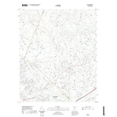 2020 Elgin2020 Print · USGSElgin and the surrounding Richland-Kershaw county line are captured here in the contemporary era of suburban growth and rural transition. Researchers can trace local landmarks and family-named water features like Lotts Mill Pond, Curetons Pond, and R W Cokers Pond.
 - 2020 Map of Longtown, 2020 Print
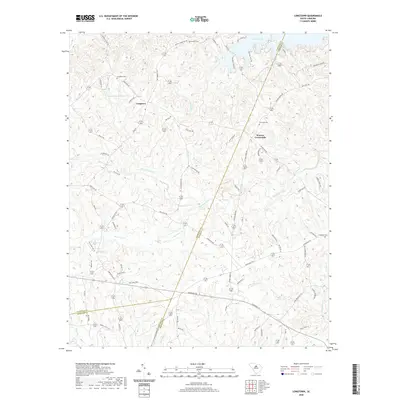 2020 Longtown2020 Print · USGSThe rural uplands of Fairfield County are captured here as they appeared in 2020, centered on the historic community of Longtown. Genealogists and local historians can trace family locations through numerous sites like Rock Hill Cemetery, Warren Crossroads, and Antioch Cemetery.
 - 2020 Map of Leesburg, 2020 Print
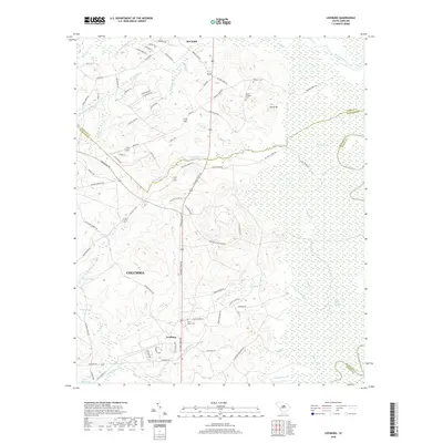 2020 Leesburg2020 Print · USGSRichland County at the start of the 2020s shows a landscape of strategic military installations and expansive wetlands along the Wateree River. Genealogists and local historians can trace family locations near Pine Grove Cem or the settlements of Leesburg and McCaskill.
 - 2020 Map of Ridgeway, 2020 Print
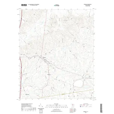 2020 Ridgeway2020 Print · USGSRidgeway and the Fairfield-Richland county line are documented here in the early twenty-first century as modern growth meets old rural landscapes. Researchers can trace family history at Saint Stephens Cem or follow the waters of Twentyfive Mile Cr and Sawneys Cr.
 - 2020 Map of Fort Jackson North, 2020 Print
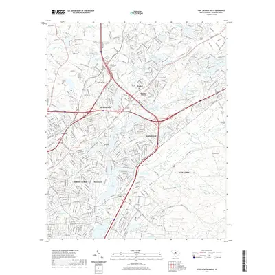 2020 Fort Jackson North2020 Print · USGSThe suburbs northeast of Columbia are shown here in detail during their recent period of expansion. Genealogists and local historians can trace the placement of the State Hospital Cem, Enon Cem, and the boundaries of Forest Acres against the modern interstate corridors.
 - 2020 Map of Messers Pond, 2020 Print
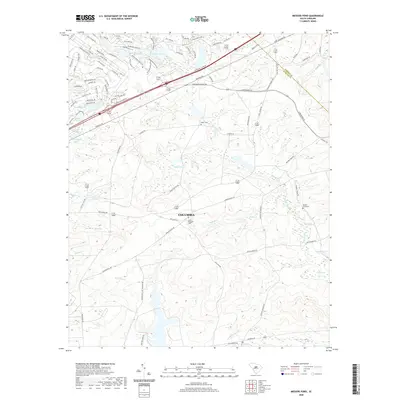 2020 Messers Pond2020 Print · USGSThe outskirts of Columbia and the Fort Jackson area are shown here during their modern expansion. Genealogists and local historians can trace family burial sites at Mount Pleasant Cem or follow the waters of Wise Marsh and Old Barstow Pond.
 - 2020 Map of Rembert, 2020 Print
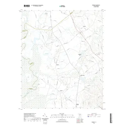 2020 Rembert2020 Print · USGSThe South Carolina coastal plain near Horatio and Boykin comes into focus during this contemporary period, showing a landscape defined by the Wateree River. Genealogists and historians can trace local landmarks like Willow Grove Cem, Ellerbees Mill, and Dinkins Mill.
 - 2020 Map of Irmo NE, 2020 Print
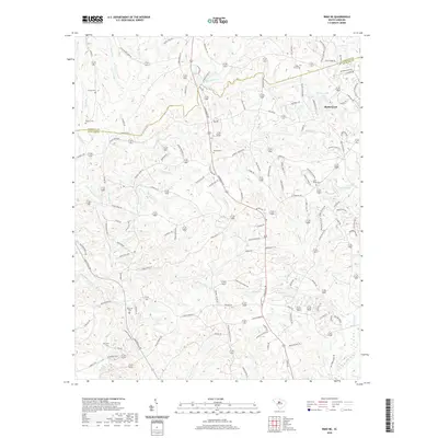 2020 Irmo NE2020 Print · USGSBlythewood and the surrounding Richland County countryside are mapped here during a period of modern growth amidst deep-rooted rural history. Researchers can identify numerous family-named landmarks and old burial sites, such as Saint Marks Cem, Wirick Cem, and Mullers Lake.
 - 2020 Map of Chapin, 2020 Print
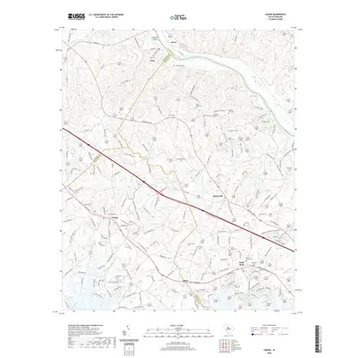 2020 Chapin2020 Print · USGSLexington and Richland counties meet along the Broad River in this modern survey of the South Carolina Midlands. Genealogists can locate numerous family burial sites such as Stuck Cem and Threewits Cem near the communities of Chapin and Spring Hill.
 - 2020 Map of Irmo, 2020 Print
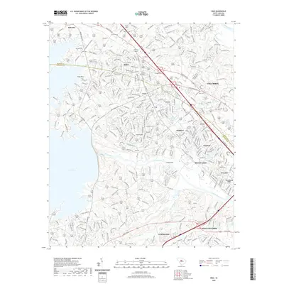 2020 Irmo2020 Print · USGSThe suburban expansion between the Saluda and Broad Rivers is captured here in the late 2010s. Researchers can trace family history through numerous burial sites like Golden Cem and Salem Cem or locate the sprawling shorelines of Lake Murray.
 - 2020 Map of Richtex, 2020 Print
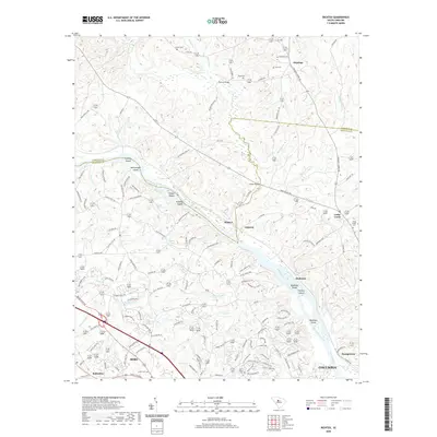 2020 Richtex2020 Print · USGSThe river-laced border of Richland and Fairfield counties is captured here in recent years as suburban growth meets rural South Carolina history. Genealogists can locate family landmarks like Saint Pauls Cem and Hinnants Store Rd, or trace the river islands of Huffman Island and Bookman Island.
 - 2020 Map of Columbia North, 2020 Print
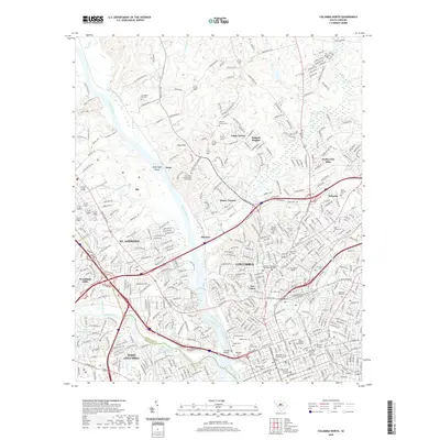 2020 Columbia North2020 Print · USGSThe South Carolina capital at the dawn of the 2020s shows a dense network of historic burial grounds and prominent colleges. Genealogists and historians can locate the Taylor Burying Ground, Elmwood Cem, and landmarks like Allen University.
Showing maps 1-25 of 54
Top cities of Richland County
- Columbia historical maps
- Forest Acres historical maps
- Blythewood historical maps
- Arcadia Lakes historical maps
- Eastover historical maps
Frequently asked questions
- What are the different types of historical maps available for Richland County?
- What is the oldest map of Richland County?
- Where can I purchase historical maps of Richland County for my home or office?
- Where can I download high-res historical maps of Richland County?
- Are there historical topographic maps available for Richland County?
- Is there historical aerial imagery available for Richland County?
- Where are historical maps of Richland County sourced from?