2000s (21st Century) Maps of Campobello, South Carolina
Explore 15 historic maps of Campobello from the 2000s (21st Century). These maps offer a rare glimpse into what life looked like during the 2000s — showing old roads, neighborhoods, homes, and landmarks that have changed or disappeared over time.
Whether you're researching your family's past, planning a metal detecting trip, or studying how Campobello's landscape evolved across the 2000s, these high-resolution maps are a powerful tool for exploring the history of this region.
- Focus on a specific era: All maps on this page are from the 2000s, giving you a focused view of this time period.
- See what’s changed: Compare century-old streets, trails, and buildings to today's modern landscape using overlays and satellite layers.
- Research with precision: Use these maps for genealogy, historical research, land use analysis, or educational projects.
- View, download, or print: Maps are fully viewable online in high resolution, and can be downloaded or printed for your own records.
Start exploring Campobello's history through authentic maps from the 2000s. This is your window into the past.
Campobello, SC maps
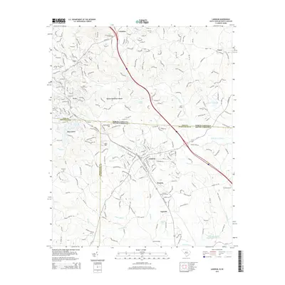
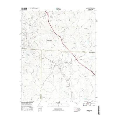
(15)- 2011 Map of Landrum, 2011 Print
 2011 Landrum2011 Print · USGSCovers Campobello, including Landrum, Tryon, and other nearby areas
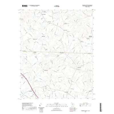
 - 2011 Map of Fingerville West, 2011 Print
 2011 Fingerville West2011 Print · USGSCovers Campobello, including Green Creek, Collinsville, and other nearby areas
 - 2011 Map of Campobello, 2011 Print
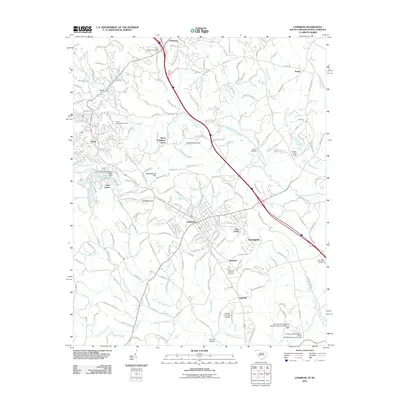
 2011 Campobello2011 Print · USGSCovers Campobello, including Little Chicago, Gowensville, and other nearby areas
 - 2014 Map of Fingerville West, 2014 Print
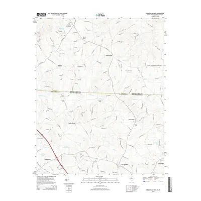 2014 Fingerville West2014 Print · USGSCovers Campobello, including Green Creek, Collinsville, and other nearby areas
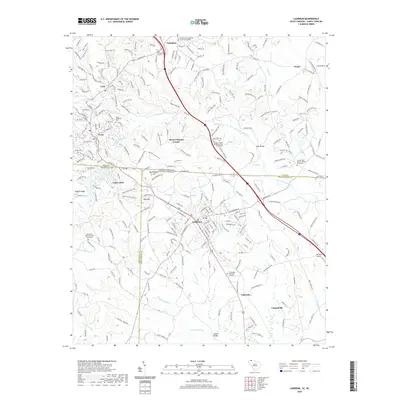
 - 2014 Map of Landrum, 2014 Print
 2014 Landrum2014 Print · USGSCovers Campobello, including Landrum, Tryon, and other nearby areas
 - 2014 Map of Campobello, 2014 Print
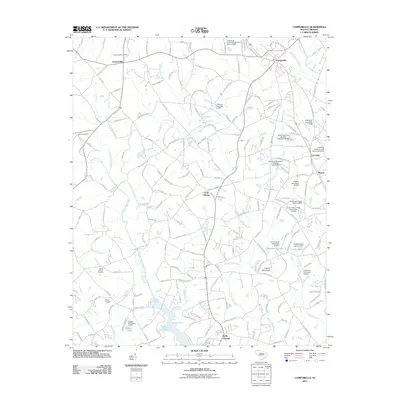
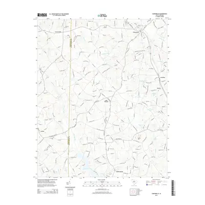 2014 Campobello2014 Print · USGSCovers Campobello, including Little Chicago, Gowensville, and other nearby areas
 - 2017 Map of Campobello, 2017 Print
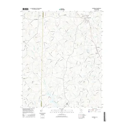 2017 Campobello2017 Print · USGSCovers Campobello, including Little Chicago, Gowensville, and other nearby areas
 - 2017 Map of Fingerville West, 2017 Print
 2017 Fingerville West2017 Print · USGSCovers Campobello, including Green Creek, Collinsville, and other nearby areas
 - 2017 Map of Landrum, 2017 Print
 2017 Landrum2017 Print · USGSCovers Campobello, including Landrum, Tryon, and other nearby areas
 - 2020 Map of Fingerville West, 2020 Print
 2020 Fingerville West2020 Print · USGSCovers Campobello, including Green Creek, Collinsville, and other nearby areas
 - 2020 Map of Landrum, 2020 Print
 2020 Landrum2020 Print · USGSCovers Campobello, including Landrum, Tryon, and other nearby areas
 - 2020 Map of Campobello, 2020 Print
 2020 Campobello2020 Print · USGSCovers Campobello, including Little Chicago, Gowensville, and other nearby areas
 - 2024 Map of Landrum, 2024 Print
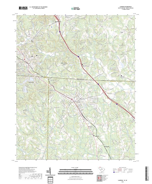 2024 Landrum2024 Print · USGSThe Carolina borderlands come into focus in this contemporary study of the rolling foothills near the Blue Ridge. Genealogists and local historians can trace family locations through numerous sites like Polk Memorial Gardens, Burnt Chimney Corner, and Morgan Chapel Graveyard.
 - 2024 Map of Fingerville West, 2024 Print
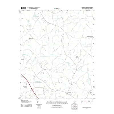
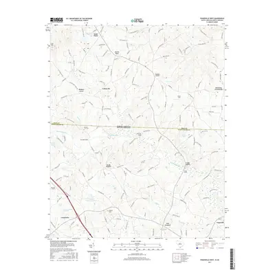
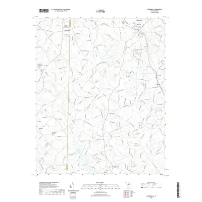
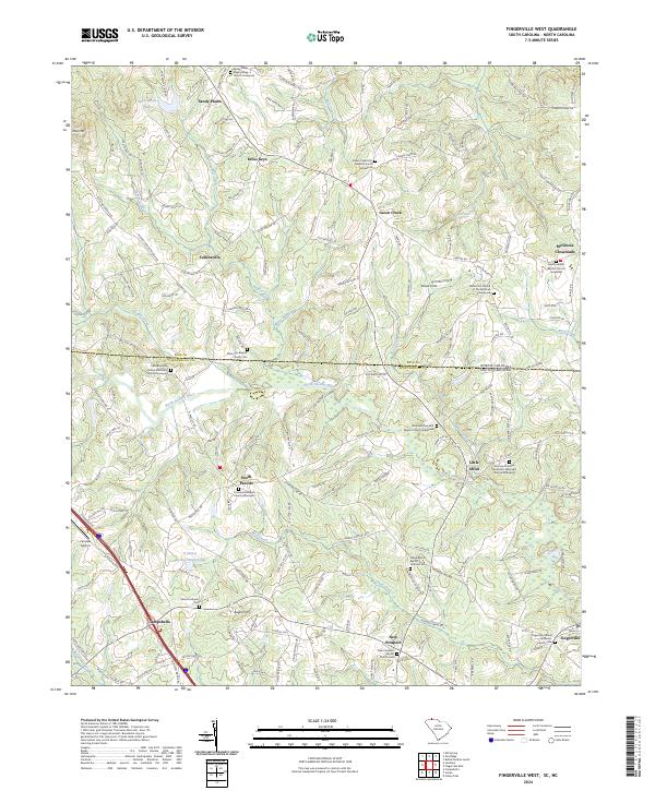 2024 Fingerville West2024 Print · USGSThe borderlands of Spartanburg County and North Carolina appear here in the modern era, showing a landscape shaped by the North Pacolet River. Family historians can trace local roots through numerous sites like Little Africa and the Fairview Christian Methodist Episcopal Church Graveyard.
 - 2024 Map of Campobello, 2024 Print
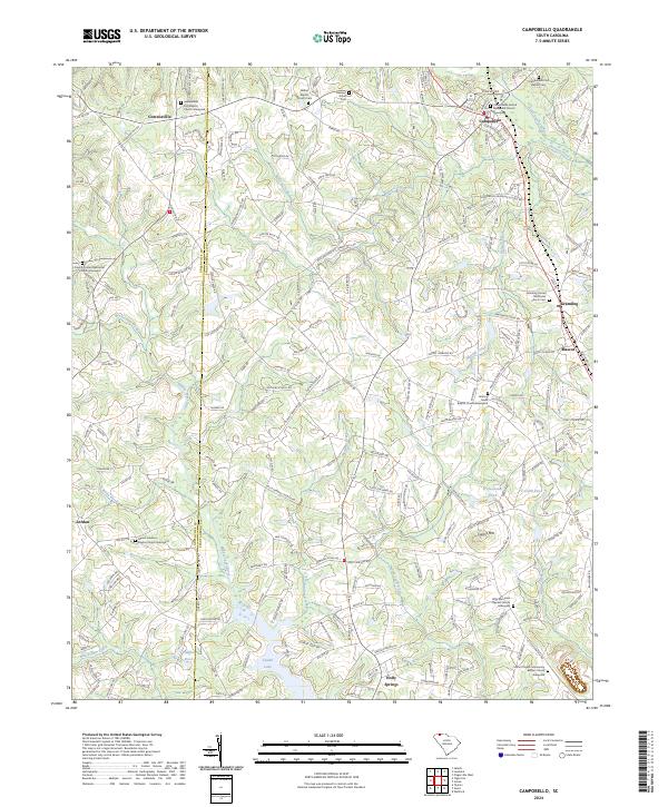 2024 Campobello2024 Print · USGSCampobello and the surrounding Upcountry landscape appear in detail as they sit along the Greenville-Spartanburg county line. Researchers can trace the path of the Norfolk Southern railroad or locate historical burial sites at Bethel Baptist Church Cem and Pleasant Grove Cem.
End of results
Showing maps 1-15 of 15
Top cities near Campobello
- Spartanburg historical maps
- Greer historical maps
- Wade Hampton historical maps
- Lyman historical maps
- Rutherfordton historical maps
- Spindale historical maps
See more
Top neighborhoods of Campobello
Frequently asked questions
- What are the different types of historical maps available for Campobello?
- What is the oldest map of Campobello?
- Where can I purchase historical maps of Campobello for my home or office?
- Where can I download high-res historical maps of Campobello?
- Are there historical topographic maps available for Campobello?
- Is there historical aerial imagery available for Campobello?
- Where are historical maps of Campobello sourced from?