2000s (21st Century) Maps of Union, South Carolina
Explore 15 historic maps of Union from the 2000s (21st Century). These maps offer a rare glimpse into what life looked like during the 2000s — showing old roads, neighborhoods, homes, and landmarks that have changed or disappeared over time.
Whether you're researching your family's past, planning a metal detecting trip, or studying how Union's landscape evolved across the 2000s, these high-resolution maps are a powerful tool for exploring the history of this region.
- Focus on a specific era: All maps on this page are from the 2000s, giving you a focused view of this time period.
- See what’s changed: Compare century-old streets, trails, and buildings to today's modern landscape using overlays and satellite layers.
- Research with precision: Use these maps for genealogy, historical research, land use analysis, or educational projects.
- View, download, or print: Maps are fully viewable online in high resolution, and can be downloaded or printed for your own records.
Start exploring Union's history through authentic maps from the 2000s. This is your window into the past.
Union, SC maps
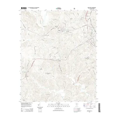
(15)- 2011 Map of Union East, 2011 Print
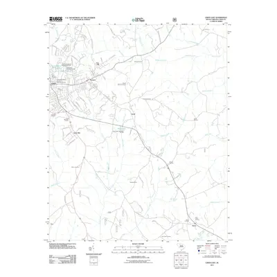 2011 Union East2011 Print · USGSCovers Union, including Carem, South Hills, and other nearby areas
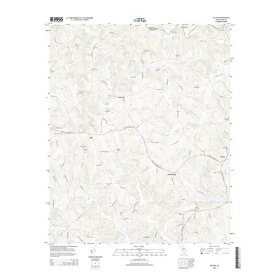
 - 2011 Map of Kelton, 2011 Print
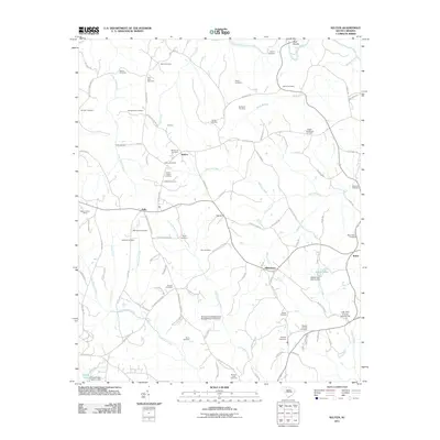 2011 Kelton2011 Print · USGSCovers Union, including Robat, Adamsburg, and other nearby areas
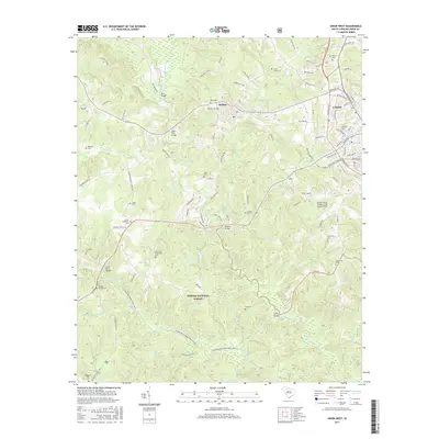
 - 2011 Map of Union West, 2011 Print
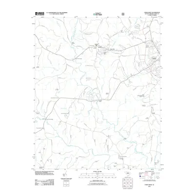 2011 Union West2011 Print · USGSCovers Union, including Buffalo, Goat Alley, and other nearby areas
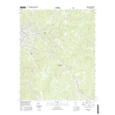
 - 2014 Map of Union East, 2014 Print
 2014 Union East2014 Print · USGSCovers Union, including Carem, South Hills, and other nearby areas
 - 2014 Map of Union West, 2014 Print
 2014 Union West2014 Print · USGSCovers Union, including Buffalo, Goat Alley, and other nearby areas
 - 2014 Map of Kelton, 2014 Print
 2014 Kelton2014 Print · USGSCovers Union, including Robat, Adamsburg, and other nearby areas
 - 2017 Map of Union West, 2017 Print
 2017 Union West2017 Print · USGSCovers Union, including Buffalo, Goat Alley, and other nearby areas
 - 2017 Map of Union East, 2017 Print
 2017 Union East2017 Print · USGSCovers Union, including Carem, South Hills, and other nearby areas
 - 2017 Map of Kelton, 2017 Print
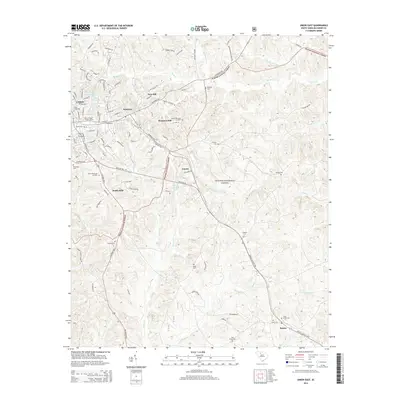
 2017 Kelton2017 Print · USGSCovers Union, including Robat, Adamsburg, and other nearby areas
 - 2020 Map of Union East, 2020 Print
 2020 Union East2020 Print · USGSCovers Union, including Carem, South Hills, and other nearby areas
 - 2020 Map of Union West, 2020 Print
 2020 Union West2020 Print · USGSCovers Union, including Buffalo, Goat Alley, and other nearby areas
 - 2020 Map of Kelton, 2020 Print
 2020 Kelton2020 Print · USGSCovers Union, including Robat, Adamsburg, and other nearby areas
 - 2024 Map of Union East, 2024 Print
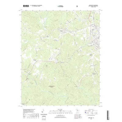
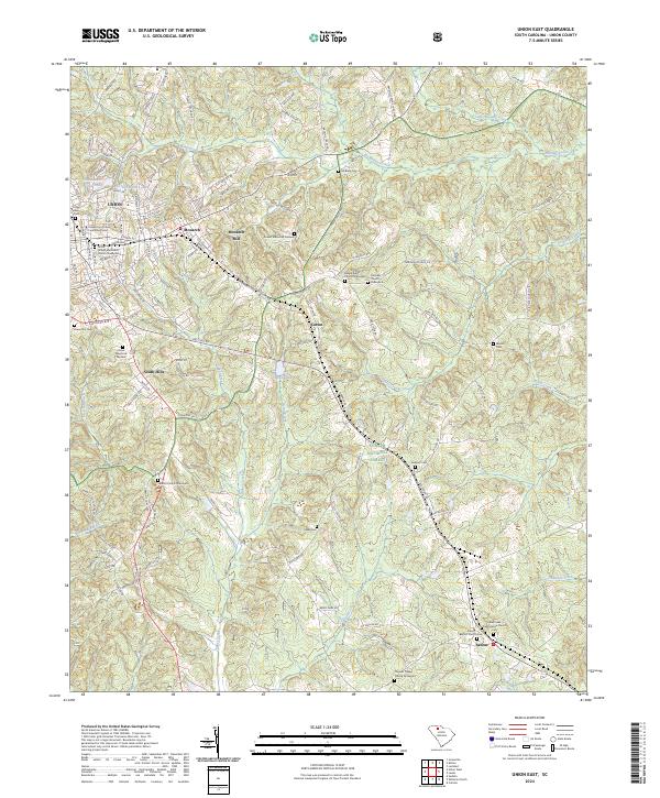 2024 Union East2024 Print · USGSThe eastern edges of Union and the surrounding Piedmont forests are documented here in the 2020s. Researchers can locate numerous historic burial grounds including Cane Creek Presbyterian Church Cem and Maple Ridge Church Graveyard, alongside the legacy of Monarch Mill.
 - 2024 Map of Union West, 2024 Print
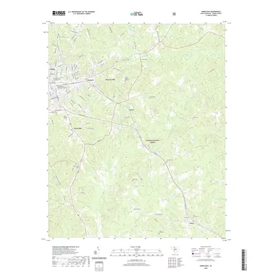
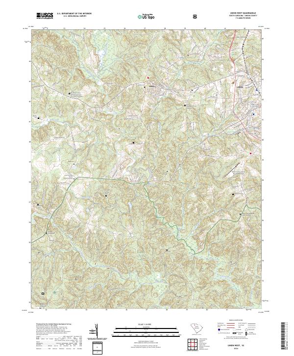 2024 Union West2024 Print · USGSWestern Union County and the community of Buffalo are detailed in this contemporary survey of the South Carolina Upcountry. Genealogists can trace family names at numerous burial sites, including the Rice Chapel AME Zion Church Graveyard, Buffalo Cem, and Sanders Cem.
 - 2024 Map of Kelton, 2024 Print
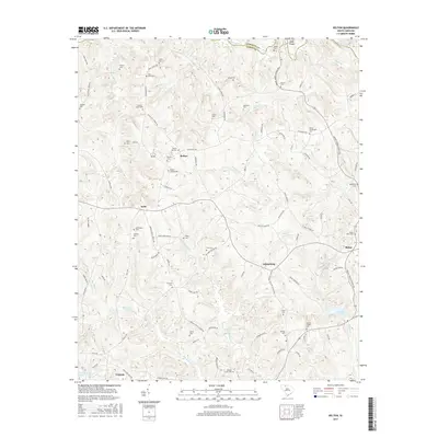
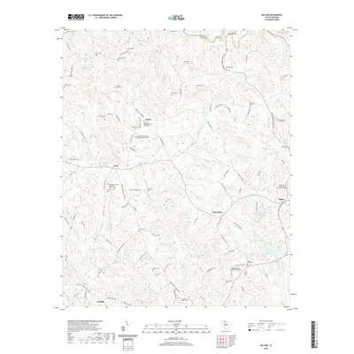
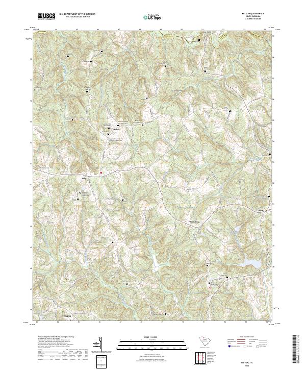 2024 Kelton2024 Print · USGSThe rural Upstate landscape of Union County comes into focus in this contemporary survey, where long-established family names and church congregations define the geography. Researchers can trace numerous burial grounds and spiritual centers such as Bethany AME Church Cem and Philippi Baptist Church Graveyard.
End of results
Showing maps 1-15 of 15
Top cities near Union
- Spartanburg historical maps
- Clinton historical maps
- Pacolet historical maps
- Whitmire historical maps
- Jonesville historical maps
- Carlisle historical maps
See more
Top neighborhoods of Union
Frequently asked questions
- What are the different types of historical maps available for Union?
- What is the oldest map of Union?
- Where can I purchase historical maps of Union for my home or office?
- Where can I download high-res historical maps of Union?
- Are there historical topographic maps available for Union?
- Is there historical aerial imagery available for Union?
- Where are historical maps of Union sourced from?