Old Maps of Union, South Carolina for Academic Research
Study the evolution of Union with 24 high-resolution historic maps. Whether you're teaching, researching, or modeling changes in land use, these maps provide essential visual documentation of urban, environmental, and geographic change.
- Analyze long-term change: Track patterns in development, transportation, and natural features.
- Ideal for environmental or urban studies: Support academic projects with primary historical map data.
- Use in the classroom or lab: Educators and researchers rely on these maps to bring historical context to life.
These maps are a powerful tool for teaching, research, and visualizing how Union has changed over the decades.
Union, SC maps
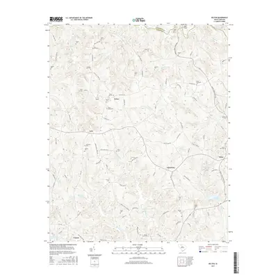
(24)- 1941 Map of Spartanburg
 1941 Spartanburg1941 Print · USGSSouth Carolina’s Piedmont and Sandhills regions are shown here during the mid-century peak of the rail era. Researchers can trace the sprawling Fort Jackson Military Reservation and the industrial growth of hubs like Spartanburg and Rock Hill.
 - 1953 Map of Spartanburg, 1966 Print
 1953 Spartanburg1966 Print · USGSMid-century South Carolina comes into focus through this survey of the Piedmont and the Sand Hills at a time of significant reservoir expansion. Researchers can trace the legacy of industrial transit and resource extraction from the Haile Gold Mine to the rail hubs of the Seaboard Air Line.4 unique versions available
 - 1960 Map of Spartanburg
 1960 Spartanburg1960 Print · USGSThe South Carolina Piedmont and North Carolina borderlands come alive in this mid-century survey of the region between Spartanburg and Columbia. Researchers can trace the Seaboard Air Line railroad and explore landmarks like Anderson Quarry, Lake Murray, and Mount Croghan.2 unique versions available
 - 1963 Map of Spartanburg
 1963 Spartanburg1963 Print · USGSMid-century South Carolina comes alive in this survey, showing the rail-linked corridor between the Upstate and the Midlands. Genealogists can trace family lands near old hubs like Union and Lancaster, or along the banks of the Broad River and Pee Dee River.
 - 1964 Map of Spartanburg
 1964 Spartanburg1964 Print · USGSMid-century South Carolina comes alive in this survey of the Piedmont and Upcountry, stretching from the Blue Ridge foothills to the Sandhills. Genealogists and historians can trace the rail-and-river economy through Monarch Mills, Glenn Springs, and the Southern Railway corridor.
 - 1969 Map of Union West, 1973 Print
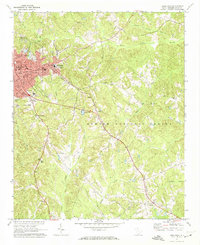
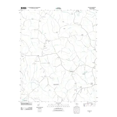
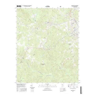
 1969 Union West1973 Print · USGSThe western outskirts of Union and the mill town of Buffalo appear here during the late sixties as the area transitioned into a modern textile and transit hub. Genealogists and researchers can trace the locations of Ricey Chapel, St Lukes Ch, and the Padgetts Creek Cem.
 - 1969 Map of Kelton, 1973 Print
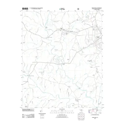
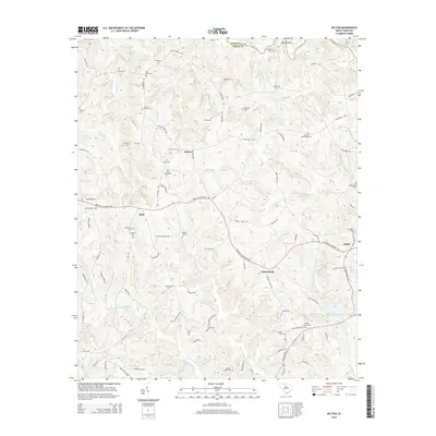
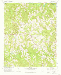 1969 Kelton1973 Print · USGSThe rural uplands of Union County are captured here in the late sixties as the Southern railroad linked small communities. Genealogists can locate family landmarks like Haney Cem, Wesley Chapel, and the Kelly Pinckney Sch.
 - 1971 Map of Union East, 1974 Print
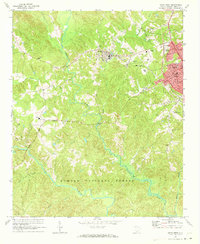
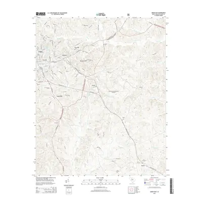
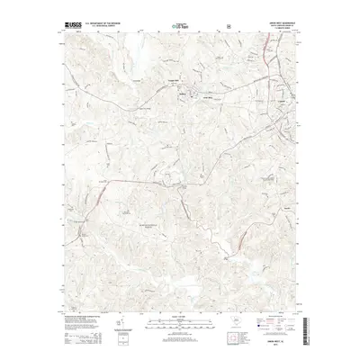
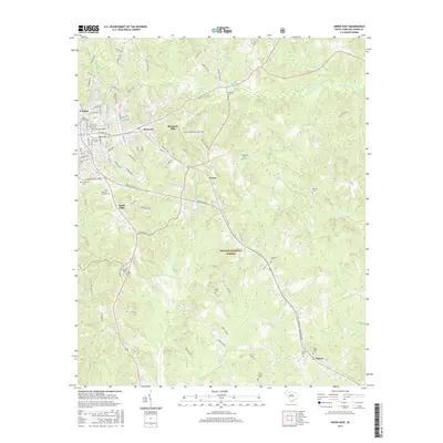
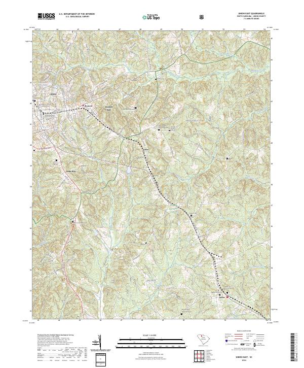
 1971 Union East1974 Print · USGSThe city of Union and the industrial village of Monarch are captured here in the early 1970s. Genealogists can trace family names and local landmarks like Sardis Ch, Santuc, and Forest Lawn Cem along the Southern railroad.
 - 1986 Map of Spartanburg
 1986 Spartanburg1986 Print · USGSUpstate South Carolina is captured here in the mid-1980s, showcasing the region's transition from a textile-driven rail corridor to a modern interstate hub. Researchers can trace the legacy of the SOUTHERN railroad through mill towns like Glendale or explore the wooded reaches of the Sumter National Forest.2 unique versions available
 - 2011 Map of Union East, 2011 Print
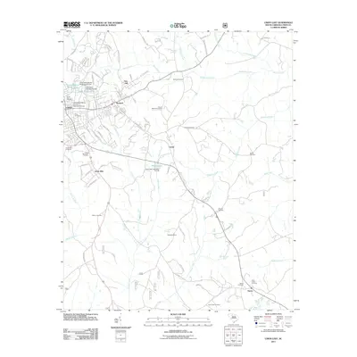 2011 Union East2011 Print · USGSCovers Union, including Carem, South Hills, and other nearby areas
 - 2011 Map of Kelton, 2011 Print
 2011 Kelton2011 Print · USGSCovers Union, including Robat, Adamsburg, and other nearby areas
 - 2011 Map of Union West, 2011 Print
 2011 Union West2011 Print · USGSCovers Union, including Buffalo, Goat Alley, and other nearby areas
 - 2014 Map of Union East, 2014 Print
 2014 Union East2014 Print · USGSCovers Union, including Carem, South Hills, and other nearby areas
 - 2014 Map of Union West, 2014 Print
 2014 Union West2014 Print · USGSCovers Union, including Buffalo, Goat Alley, and other nearby areas
 - 2014 Map of Kelton, 2014 Print
 2014 Kelton2014 Print · USGSCovers Union, including Robat, Adamsburg, and other nearby areas
 - 2017 Map of Union West, 2017 Print
 2017 Union West2017 Print · USGSCovers Union, including Buffalo, Goat Alley, and other nearby areas
 - 2017 Map of Union East, 2017 Print
 2017 Union East2017 Print · USGSCovers Union, including Carem, South Hills, and other nearby areas
 - 2017 Map of Kelton, 2017 Print
 2017 Kelton2017 Print · USGSCovers Union, including Robat, Adamsburg, and other nearby areas
 - 2020 Map of Union East, 2020 Print
 2020 Union East2020 Print · USGSCovers Union, including Carem, South Hills, and other nearby areas
 - 2020 Map of Union West, 2020 Print
 2020 Union West2020 Print · USGSCovers Union, including Buffalo, Goat Alley, and other nearby areas
 - 2020 Map of Kelton, 2020 Print
 2020 Kelton2020 Print · USGSCovers Union, including Robat, Adamsburg, and other nearby areas
 - 2024 Map of Union East, 2024 Print
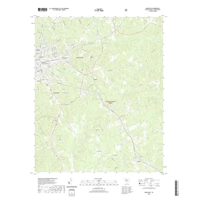
 2024 Union East2024 Print · USGSThe eastern edges of Union and the surrounding Piedmont forests are documented here in the 2020s. Researchers can locate numerous historic burial grounds including Cane Creek Presbyterian Church Cem and Maple Ridge Church Graveyard, alongside the legacy of Monarch Mill.
 - 2024 Map of Union West, 2024 Print
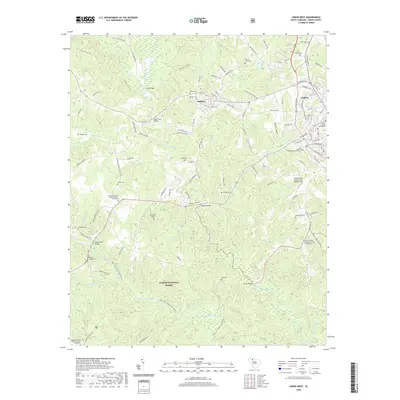
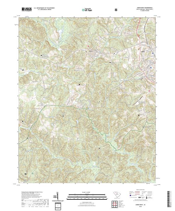 2024 Union West2024 Print · USGSWestern Union County and the community of Buffalo are detailed in this contemporary survey of the South Carolina Upcountry. Genealogists can trace family names at numerous burial sites, including the Rice Chapel AME Zion Church Graveyard, Buffalo Cem, and Sanders Cem.
 - 2024 Map of Kelton, 2024 Print
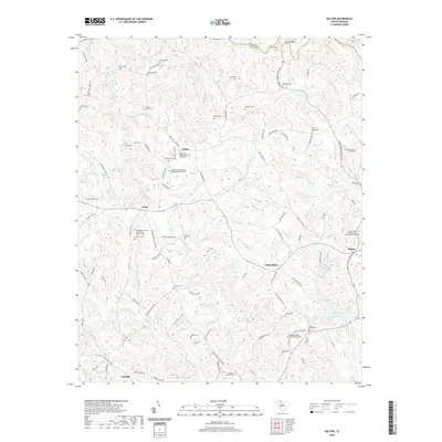
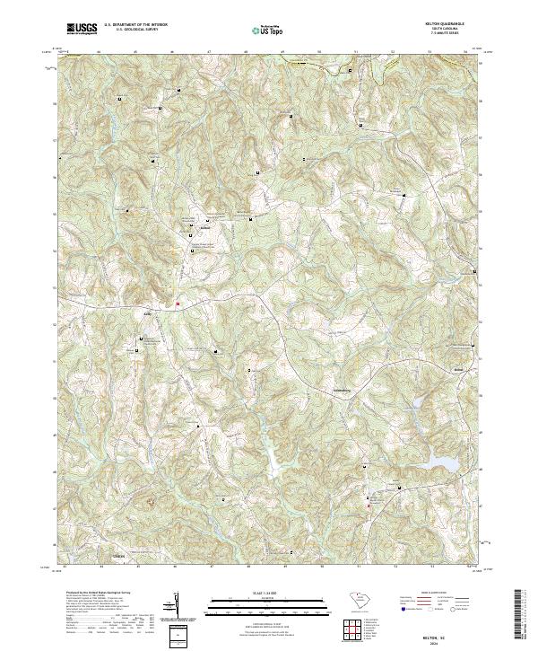 2024 Kelton2024 Print · USGSThe rural Upstate landscape of Union County comes into focus in this contemporary survey, where long-established family names and church congregations define the geography. Researchers can trace numerous burial grounds and spiritual centers such as Bethany AME Church Cem and Philippi Baptist Church Graveyard.
End of results
Showing maps 1-24 of 24
Top cities near Union
- Spartanburg historical maps
- Clinton historical maps
- Pacolet historical maps
- Whitmire historical maps
- Jonesville historical maps
- Carlisle historical maps
See more
Top neighborhoods of Union
Frequently asked questions
- What are the different types of historical maps available for Union?
- What is the oldest map of Union?
- Where can I purchase historical maps of Union for my home or office?
- Where can I download high-res historical maps of Union?
- Are there historical topographic maps available for Union?
- Is there historical aerial imagery available for Union?
- Where are historical maps of Union sourced from?