Old Maps of Cedar Swamp, South Carolina for Academic Research
Study the evolution of Cedar Swamp with 11 high-resolution historic maps. Whether you're teaching, researching, or modeling changes in land use, these maps provide essential visual documentation of urban, environmental, and geographic change.
- Analyze long-term change: Track patterns in development, transportation, and natural features.
- Ideal for environmental or urban studies: Support academic projects with primary historical map data.
- Use in the classroom or lab: Educators and researchers rely on these maps to bring historical context to life.
These maps are a powerful tool for teaching, research, and visualizing how Cedar Swamp has changed over the decades.
Cedar Swamp, SC maps
(11)- 1946 Map of Indiantown
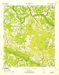 1946 Indiantown1946 Print · USGSWilliamsburg County and the surrounding Lowcountry wetlands are documented here in the years following the war. Genealogists and local historians can trace family locations near Kellehan Crossroads, Old Morrisville, and the SEABOARD AIR LINE railway.
 - 1949 Map of Georgetown, 1953 Print
 1949 Georgetown1953 Print · USGSThe South Carolina coast and North Carolina borderlands appear here in the mid-century, prior to the major modern development of the Grand Strand. Genealogists and historians can trace the rail networks of the Seaboard Air Line Railroad and locate coastal landmarks from Fort Caswell to McClellanville.
 - 1967 Map of Georgetown
 1967 Georgetown1967 Print · USGSThe South Carolina Lowcountry and Grand Strand meet in the late sixties, showcasing a coastal landscape transitioning from river-based industry to seaside tourism. Researchers can trace the Intracoastal Waterway past Georgetown or locate historical sites like Fort Fisher and Murrells Inlet.
 - 1974 Map of Georgetown, 1978 Print
 1974 Georgetown1978 Print · USGSThe Carolina coast and Pee Dee region are shown here in the mid-seventies, just as the Grand Strand was maturing into a premier destination. Researchers can trace the inland rail corridors of the Seaboard Coast Line Railroad or explore the coastal reaches of the Cape Romain National Wildlife Refuge and Myrtle Beach State Park.2 unique versions available
 - 1986 Map of Kingstree
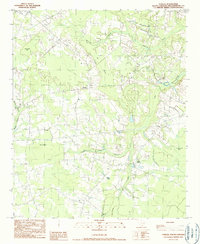
 1986 Kingstree1986 Print · USGSThe South Carolina Lowcountry in the mid-eighties shows a landscape defined by the Black River and the growing coastal communities of the Grand Strand. Researchers can trace historic river settlements and rail stops like Salters Depot, Pamplico, and Hemingway.2 unique versions available
 - 1990 Map of Fowler
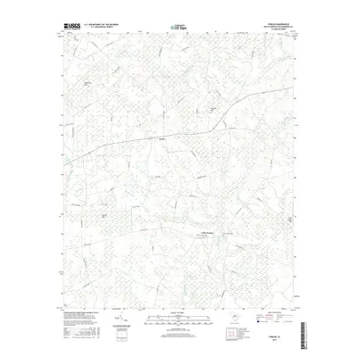
 1990 Fowler1990 Print · USGSWilliamsburg County in the early 1990s remained a landscape of dense bottomlands and isolated settlements. Genealogists and historians can trace the paths of a Dismantled Tramway or locate local burials at various cemeteries near Whiteoak Bay and Fowler.
 - 2011 Map of Fowler, 2011 Print
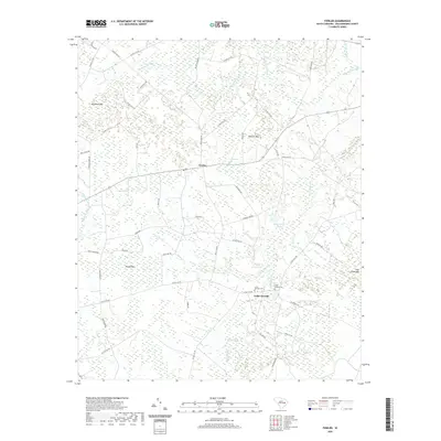
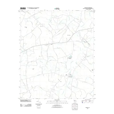 2011 Fowler2011 Print · USGSCovers Cedar Swamp, including Fowler, Williamsburg County, and other nearby areas
 - 2014 Map of Fowler, 2014 Print
 2014 Fowler2014 Print · USGSCovers Cedar Swamp, including Fowler, Williamsburg County, and other nearby areas
 - 2017 Map of Fowler, 2017 Print
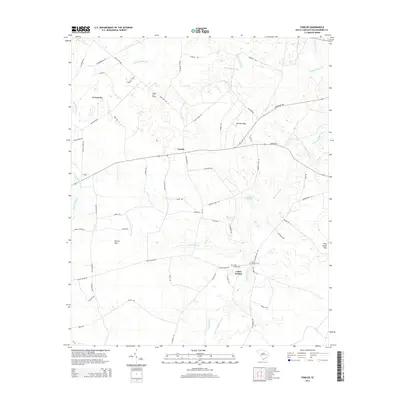
 2017 Fowler2017 Print · USGSCovers Cedar Swamp, including Fowler, Williamsburg County, and other nearby areas
 - 2020 Map of Fowler, 2020 Print
 2020 Fowler2020 Print · USGSCovers Cedar Swamp, including Fowler, Williamsburg County, and other nearby areas
 - 2024 Map of Fowler, 2024 Print
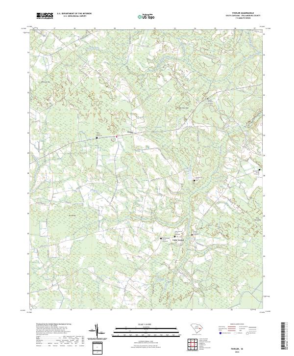 2024 Fowler2024 Print · USGSWilliamsburg County’s rural interior is revealed here in the 2020s, showing a landscape still defined by family-named bays and numerous country churches. Genealogists can trace family footprints at Hickory Hill Church, Georges Old Field Cem, and Fowler.
End of results
Showing maps 1-11 of 11
Top cities near Cedar Swamp
- Lake City historical maps
- Kingstree historical maps
- Andrews historical maps
- Johnsonville historical maps
- Lane historical maps
- Hemingway historical maps
See more
Frequently asked questions
- What are the different types of historical maps available for Cedar Swamp?
- What is the oldest map of Cedar Swamp?
- Where can I purchase historical maps of Cedar Swamp for my home or office?
- Where can I download high-res historical maps of Cedar Swamp?
- Are there historical topographic maps available for Cedar Swamp?
- Is there historical aerial imagery available for Cedar Swamp?
- Where are historical maps of Cedar Swamp sourced from?