Old Maps of Gourdin, South Carolina for Academic Research
Study the evolution of Gourdin with 11 high-resolution historic maps. Whether you're teaching, researching, or modeling changes in land use, these maps provide essential visual documentation of urban, environmental, and geographic change.
- Analyze long-term change: Track patterns in development, transportation, and natural features.
- Ideal for environmental or urban studies: Support academic projects with primary historical map data.
- Use in the classroom or lab: Educators and researchers rely on these maps to bring historical context to life.
These maps are a powerful tool for teaching, research, and visualizing how Gourdin has changed over the decades.
Gourdin, SC maps
(11)- 1943 Map of Bonneau, 1964 Print
 1943 Bonneau1964 Print · USGSBerkeley County during the early 1940s shows a landscape of timber-driven growth and newly formed shorelines. Researchers can trace the Santee River Logging RR through the swamp or locate family sites like Gravel Hill Cem and St Stephens.2 unique versions available
 - 1949 Map of Georgetown, 1953 Print
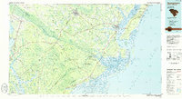
 1949 Georgetown1953 Print · USGSThe South Carolina coast and North Carolina borderlands appear here in the mid-century, prior to the major modern development of the Grand Strand. Genealogists and historians can trace the rail networks of the Seaboard Air Line Railroad and locate coastal landmarks from Fort Caswell to McClellanville.
 - 1967 Map of Georgetown
 1967 Georgetown1967 Print · USGSThe South Carolina Lowcountry and Grand Strand meet in the late sixties, showcasing a coastal landscape transitioning from river-based industry to seaside tourism. Researchers can trace the Intracoastal Waterway past Georgetown or locate historical sites like Fort Fisher and Murrells Inlet.
 - 1974 Map of Georgetown, 1978 Print
 1974 Georgetown1978 Print · USGSThe Carolina coast and Pee Dee region are shown here in the mid-seventies, just as the Grand Strand was maturing into a premier destination. Researchers can trace the inland rail corridors of the Seaboard Coast Line Railroad or explore the coastal reaches of the Cape Romain National Wildlife Refuge and Myrtle Beach State Park.2 unique versions available
 - 1986 Map of Georgetown
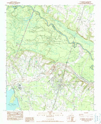
 1986 Georgetown1986 Print · USGSThe South Carolina Lowcountry is captured here in the mid-1980s, centered on the historic port of Georgetown and its surrounding wetlands. Researchers can trace the river-fed economy and land patterns of Waccamaw Neck, Hampton Plantation State Park, and the timber-rich Francis Marion National Forest.2 unique versions available
 - 1990 Map of St. Stephen
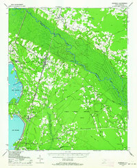
 1990 St. Stephen1990 Print · USGSThe Berkeley County Lowcountry is captured here in the early 1990s, showcasing the intersection of rail infrastructure and vast swamp networks. Genealogists and historians can trace local homesteads near St Stephen and Russellville, or locate burial sites at the several Cem locations marked throughout the landscape.
 - 2011 Map of Saint Stephen, 2011 Print
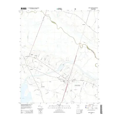
 2011 Saint Stephen2011 Print · USGSCovers Gourdin, including Old Peru, Harris Town, and other nearby areas
 - 2014 Map of Saint Stephen, 2014 Print
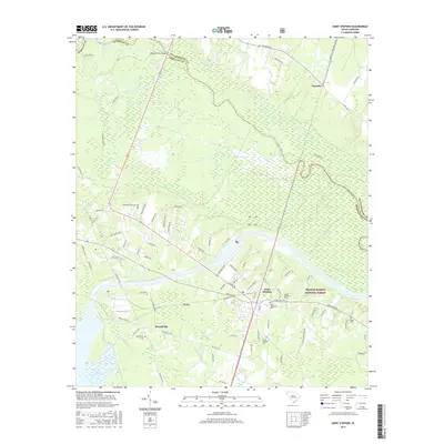
 2014 Saint Stephen2014 Print · USGSCovers Gourdin, including Old Peru, Harris Town, and other nearby areas
 - 2017 Map of Saint Stephen, 2017 Print
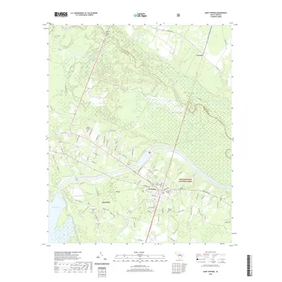
 2017 Saint Stephen2017 Print · USGSCovers Gourdin, including Old Peru, Harris Town, and other nearby areas
 - 2020 Map of Saint Stephen, 2020 Print
 2020 Saint Stephen2020 Print · USGSCovers Gourdin, including Old Peru, Harris Town, and other nearby areas
 - 2024 Map of Saint Stephen, 2024 Print
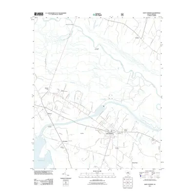
 2024 Saint Stephen2024 Print · USGSThe Lowcountry settlements of St. Stephen and Russellville are documented here in a modern era of forest preservation and river management. Genealogists can locate several historic burial sites, including the Oldfield Plantation Cem and Saint Stephens Church Graveyard.
End of results
Showing maps 1-11 of 11
Top cities near Gourdin
- Kingstree historical maps
- Lane historical maps
- Greeleyville historical maps
- Bonneau historical maps
- Jamestown historical maps
Frequently asked questions
- What are the different types of historical maps available for Gourdin?
- What is the oldest map of Gourdin?
- Where can I purchase historical maps of Gourdin for my home or office?
- Where can I download high-res historical maps of Gourdin?
- Are there historical topographic maps available for Gourdin?
- Is there historical aerial imagery available for Gourdin?
- Where are historical maps of Gourdin sourced from?