2020s Maps of Greeleyville, South Carolina
Explore 4 historic maps of Greeleyville from the 2020s. These maps offer a rare glimpse into what life looked like during the 2020s — showing old roads, neighborhoods, homes, and landmarks that have changed or disappeared over time.
Whether you're researching your family's past, planning a metal detecting trip, or studying how Greeleyville's landscape evolved across the 2020s, these high-resolution maps are a powerful tool for exploring the history of this region.
- Focus on a specific era: All maps on this page are from the 2020s, giving you a focused view of this time period.
- See what’s changed: Compare century-old streets, trails, and buildings to today's modern landscape using overlays and satellite layers.
- Research with precision: Use these maps for genealogy, historical research, land use analysis, or educational projects.
- View, download, or print: Maps are fully viewable online in high resolution, and can be downloaded or printed for your own records.
Start exploring Greeleyville's history through authentic maps from the 2020s. This is your window into the past.
Greeleyville, SC maps
(4)- 2020 Map of Butlers Bay, 2020 Print
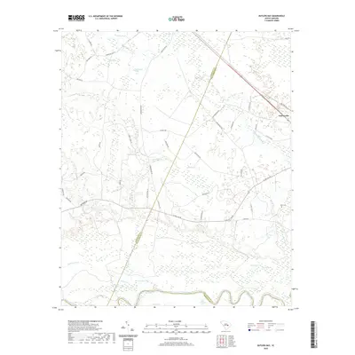 2020 Butlers Bay2020 Print · USGSCovers Greeleyville, including Berkeley County, Clarendon County, and other nearby areas
 - 2020 Map of Greeleyville, 2020 Print
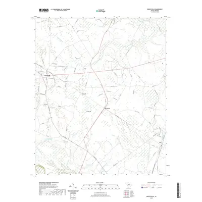 2020 Greeleyville2020 Print · USGSCovers Greeleyville, including Lane, Heineman, and other nearby areas
 - 2024 Map of Greeleyville, 2024 Print
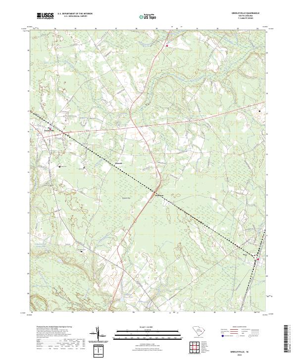 2024 Greeleyville2024 Print · USGSGreeleyville and its surrounding swamps are captured in this recent survey of Williamsburg County. Researchers can trace local lineage through sites like Mount Hope Cemetery or follow the historic road networks connecting Lane, Edwards, and Heineman.
 - 2024 Map of Butlers Bay, 2024 Print
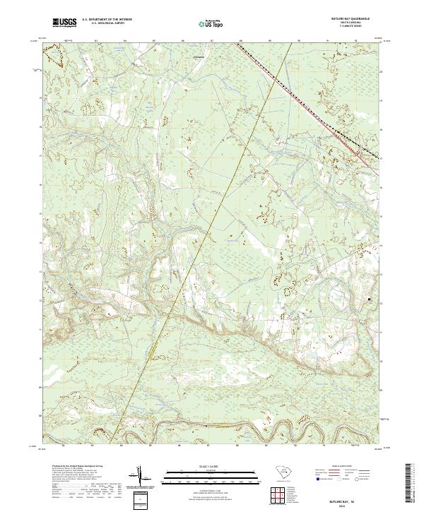 2024 Butlers Bay2024 Print · USGSThe Lowcountry landscape of Clarendon and Williamsburg counties is documented here as it appears today, centered on the Santee River corridor. Researchers can trace family history through Keels Cem or explore the unique hydrology of Butlers Bay and Cahusac Lake.
End of results
Showing maps 1-4 of 4
Top cities near Greeleyville
Frequently asked questions
- What are the different types of historical maps available for Greeleyville?
- What is the oldest map of Greeleyville?
- Where can I purchase historical maps of Greeleyville for my home or office?
- Where can I download high-res historical maps of Greeleyville?
- Are there historical topographic maps available for Greeleyville?
- Is there historical aerial imagery available for Greeleyville?
- Where are historical maps of Greeleyville sourced from?