Old Maps of Greeleyville, South Carolina for Hiking & Exploration
Hike through history with 27 historic maps of Greeleyville. Explore old trails, ghost towns, and forgotten backroads — perfect for outdoor adventurers and local explorers.
- Rediscover forgotten places: Map out old mining camps, roads, and footpaths that no longer exist on modern maps.
- Layer with modern tools: Combine with LiDAR or satellite views to plan hikes through historical terrain.
- Made for exploration: Popular among hikers, overlanders, and local history lovers.
Use these maps to find adventure and explore the hidden past of Greeleyville.
Greeleyville, SC maps
(27)- 1920 Map of Manning
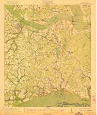
 1920 Manning1920 Print · USGSClarendon County in the early twentieth century was a land of timber-rich wetlands and growing rail junctions. Genealogists can trace family footprints through numerous rural landmarks like Biggers School, St Marks Church, and settlements like Alcolu or Davis Station.
 - 1921 Map of Manning
 1921 Manning1921 Print · USGSClarendon County was a hub of rail lines and swamp-bordering settlements in the years following the Great War. You can trace early 20th-century family landmarks like White Oak Church, the Wilson Mill School, and the path of the Southern Railroad as it crosses the Pocotaligo Swamp.3 unique versions available
 - 1944 Map of Manning
 1944 Manning1944 Print · USGSClarendon County in the mid-1940s centers on the rail hub of Manning and the winding reaches of the Pocotaligo Swamp. Researchers can trace rural family sites near Wilson Mill Sch, Green Savanna Sch, and Brewington Ch.
 - 1946 Map of Kingstree
 1946 Kingstree1946 Print · USGSWilliamsburg County just after the war shows a landscape of riverine settlements and vital rail lines centered on Kingstree. Genealogists and historians can trace numerous rural congregations and schoolhouses, from Dickey Chapel and Lane Chapel to the Central Sch near Salters Depot.
 - 1949 Map of Georgetown, 1953 Print
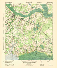
 1949 Georgetown1953 Print · USGSThe South Carolina coast and North Carolina borderlands appear here in the mid-century, prior to the major modern development of the Grand Strand. Genealogists and historians can trace the rail networks of the Seaboard Air Line Railroad and locate coastal landmarks from Fort Caswell to McClellanville.
 - 1954 Map of Augusta
 1954 Augusta1954 Print · USGSThe Savannah River valley and South Carolina Midlands are captured here during a period of post-war growth. Researchers can trace the rail-and-river economy through the Southern RR corridor and locate historic settlements like Aiken, Orangeburg, and Sumter.
 - 1957 Map of Augusta, 1966 Print
 1957 Augusta1966 Print · USGSThe Savannah River and Santee basins are captured here during a period of massive military and industrial expansion in the late fifties. Genealogists can trace family footprints across Four Hole Swamp or near the Savannah River Plant.3 unique versions available
 - 1958 Map of Augusta
 1958 Augusta1958 Print · USGSThe borderlands between Georgia and South Carolina come alive in the 1950s, showing the early footprint of the Savannah River Plant. Genealogists and historians can trace rail-dependent towns and rural landmarks from Orangeburg to the Fort Jackson Military Reservation.
 - 1961 Map of Augusta
 1961 Augusta1961 Print · USGSThe South Carolina lowcountry and CSRA appear here in the early sixties, during a period of massive military and industrial growth. Researchers can trace the development of the Savannah River Plant or locate legacy landmarks like Nelson Ferry and Magnolia Cemetery.2 unique versions available
 - 1962 Map of Augusta
 1962 Augusta1962 Print · USGSThe South Carolina and Georgia borderlands are seen here in the early sixties, showing the rise of the Savannah River Plant and the expansion of Fort Jackson. Researchers can trace old rail lines like the Southern Railway and find landmarks such as St. Pauls Church or the Santee Canal.
 - 1967 Map of Georgetown
 1967 Georgetown1967 Print · USGSThe South Carolina Lowcountry and Grand Strand meet in the late sixties, showcasing a coastal landscape transitioning from river-based industry to seaside tourism. Researchers can trace the Intracoastal Waterway past Georgetown or locate historical sites like Fort Fisher and Murrells Inlet.
 - 1974 Map of Georgetown, 1978 Print
 1974 Georgetown1978 Print · USGSThe Carolina coast and Pee Dee region are shown here in the mid-seventies, just as the Grand Strand was maturing into a premier destination. Researchers can trace the inland rail corridors of the Seaboard Coast Line Railroad or explore the coastal reaches of the Cape Romain National Wildlife Refuge and Myrtle Beach State Park.2 unique versions available
 - 1979 Map of Butlers Bay, 1980 Print
 1979 Butlers Bay1980 Print · USGSClarendon and Williamsburg counties are mapped here in the late seventies as the rural landscape follows the Santee River. Researchers can trace old family sites and rural congregations like Pine Grove Ch and Keels Cem among the wetlands of Butlers Bay.2 unique versions available
 - 1986 Map of Kingstree
 1986 Kingstree1986 Print · USGSThe South Carolina Lowcountry in the mid-eighties shows a landscape defined by the Black River and the growing coastal communities of the Grand Strand. Researchers can trace historic river settlements and rail stops like Salters Depot, Pamplico, and Hemingway.2 unique versions available
 - 1986 Map of Sumter
 1986 Sumter1986 Print · USGSMid-South Carolina in the mid-eighties reveals a landscape of massive river bottomlands and significant military installations. Genealogists and historians can trace the rural networks around Fort Motte, Lone Star, and Sardinia alongside Lake Marion.
 - 1990 Map of Greeleyville
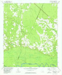
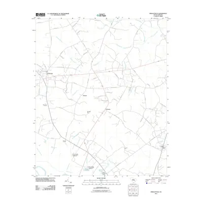
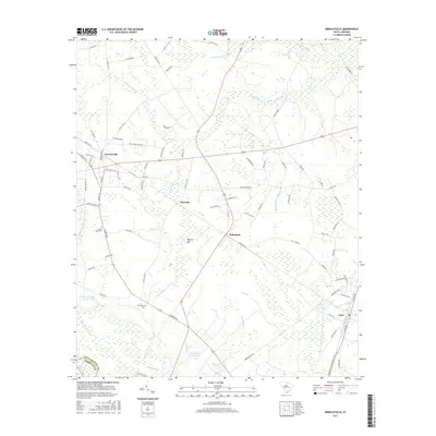
 1990 Greeleyville1990 Print · USGSGreeleyville and the Williamsburg County backcountry are captured in the early nineties as the region’s wetland-driven economy matured. Genealogists and local historians can trace family-named sites across Burgess Bay, Heineman, and the banks of the Santee River.
 - 1990 Map of Sumter
 1990 Sumter1990 Print · USGSCentral South Carolina's river systems and military landscapes are captured here during the late twentieth century. Genealogists and historians can trace the growth of Sumter or locate rural communities such as Wedgefield and Kingville near the Congaree River.
 - 2011 Map of Butlers Bay, 2011 Print
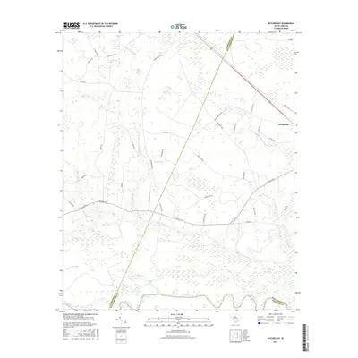
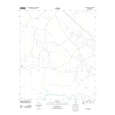 2011 Butlers Bay2011 Print · USGSCovers Greeleyville, including Berkeley County, Clarendon County, and other nearby areas
 - 2011 Map of Greeleyville, 2011 Print
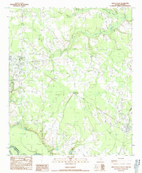
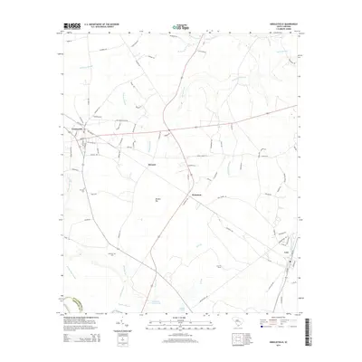
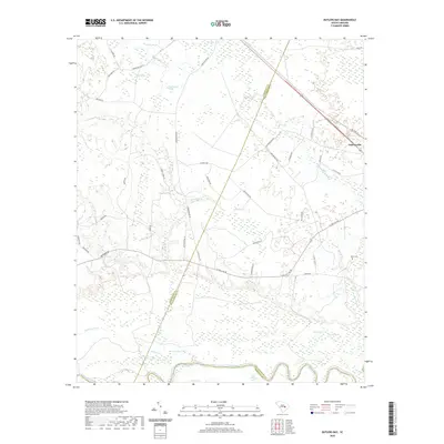
 2011 Greeleyville2011 Print · USGSCovers Greeleyville, including Lane, Heineman, and other nearby areas
 - 2014 Map of Butlers Bay, 2014 Print
 2014 Butlers Bay2014 Print · USGSCovers Greeleyville, including Berkeley County, Clarendon County, and other nearby areas
 - 2014 Map of Greeleyville, 2014 Print
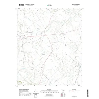
 2014 Greeleyville2014 Print · USGSCovers Greeleyville, including Lane, Heineman, and other nearby areas
 - 2017 Map of Butlers Bay, 2017 Print
 2017 Butlers Bay2017 Print · USGSCovers Greeleyville, including Berkeley County, Clarendon County, and other nearby areas
 - 2017 Map of Greeleyville, 2017 Print
 2017 Greeleyville2017 Print · USGSCovers Greeleyville, including Lane, Heineman, and other nearby areas
 - 2020 Map of Butlers Bay, 2020 Print
 2020 Butlers Bay2020 Print · USGSCovers Greeleyville, including Berkeley County, Clarendon County, and other nearby areas
 - 2020 Map of Greeleyville, 2020 Print
 2020 Greeleyville2020 Print · USGSCovers Greeleyville, including Lane, Heineman, and other nearby areas
Showing maps 1-25 of 27
Top cities near Greeleyville
Frequently asked questions
- What are the different types of historical maps available for Greeleyville?
- What is the oldest map of Greeleyville?
- Where can I purchase historical maps of Greeleyville for my home or office?
- Where can I download high-res historical maps of Greeleyville?
- Are there historical topographic maps available for Greeleyville?
- Is there historical aerial imagery available for Greeleyville?
- Where are historical maps of Greeleyville sourced from?