Old Maps of Lane, South Carolina for Genealogy
Trace your family roots with 17 historic maps of Lane. These high-res maps reveal old neighborhoods, homesites, landmarks, and streets — helping you uncover where your ancestors lived and how the area evolved over time.
- Explore historic neighborhoods: Identify where your relatives may have lived in the 1800s or 1900s.
- Compare maps over time: Trace the changes in streets, buildings, and landmarks for multi-generational research.
- Perfect for genealogy & ancestry research: Used by family historians and researchers to map out lineage and migration.
These maps are an incredible resource for exploring your personal connection to Lane's past.
Lane, SC maps
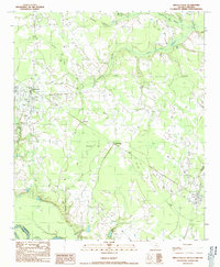
(17)- 1946 Map of Kingstree
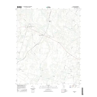
 1946 Kingstree1946 Print · USGSWilliamsburg County just after the war shows a landscape of riverine settlements and vital rail lines centered on Kingstree. Genealogists and historians can trace numerous rural congregations and schoolhouses, from Dickey Chapel and Lane Chapel to the Central Sch near Salters Depot.
 - 1949 Map of Georgetown, 1953 Print
 1949 Georgetown1953 Print · USGSThe South Carolina coast and North Carolina borderlands appear here in the mid-century, prior to the major modern development of the Grand Strand. Genealogists and historians can trace the rail networks of the Seaboard Air Line Railroad and locate coastal landmarks from Fort Caswell to McClellanville.
 - 1967 Map of Georgetown
 1967 Georgetown1967 Print · USGSThe South Carolina Lowcountry and Grand Strand meet in the late sixties, showcasing a coastal landscape transitioning from river-based industry to seaside tourism. Researchers can trace the Intracoastal Waterway past Georgetown or locate historical sites like Fort Fisher and Murrells Inlet.
 - 1974 Map of Georgetown, 1978 Print
 1974 Georgetown1978 Print · USGSThe Carolina coast and Pee Dee region are shown here in the mid-seventies, just as the Grand Strand was maturing into a premier destination. Researchers can trace the inland rail corridors of the Seaboard Coast Line Railroad or explore the coastal reaches of the Cape Romain National Wildlife Refuge and Myrtle Beach State Park.2 unique versions available
 - 1986 Map of Kingstree
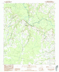
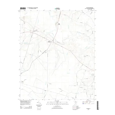
 1986 Kingstree1986 Print · USGSThe South Carolina Lowcountry in the mid-eighties shows a landscape defined by the Black River and the growing coastal communities of the Grand Strand. Researchers can trace historic river settlements and rail stops like Salters Depot, Pamplico, and Hemingway.2 unique versions available
 - 1990 Map of Greeleyville
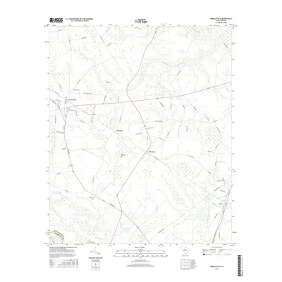
 1990 Greeleyville1990 Print · USGSGreeleyville and the Williamsburg County backcountry are captured in the early nineties as the region’s wetland-driven economy matured. Genealogists and local historians can trace family-named sites across Burgess Bay, Heineman, and the banks of the Santee River.
 - 1990 Map of Salters
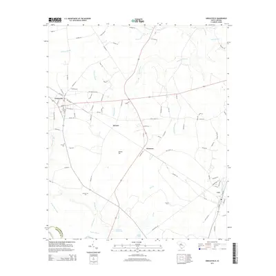
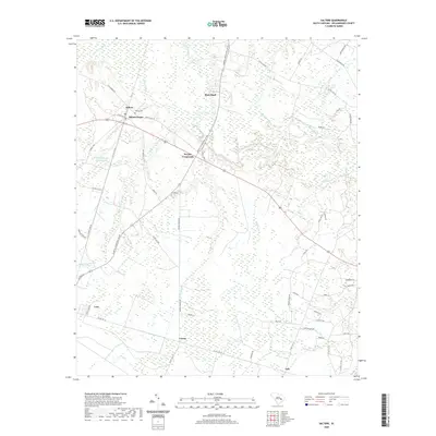
 1990 Salters1990 Print · USGSWilliamsburg County settlements and the Black River basin are captured here in the early nineties, showing a landscape of small crossroads and expansive wetlands. Genealogists and local historians can trace family-named sites like Bryans Crossroads, the town of Lane, and the CSX Transportation rail corridor.
 - 2011 Map of Greeleyville, 2011 Print
 2011 Greeleyville2011 Print · USGSCovers Lane, including Greeleyville, Heineman, and other nearby areas
 - 2011 Map of Salters, 2011 Print
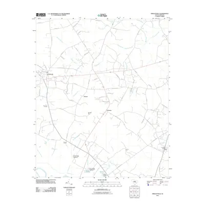
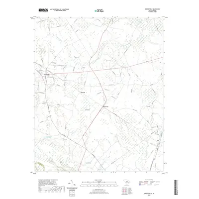
 2011 Salters2011 Print · USGSCovers Lane, including Carris, Salters, and other nearby areas
 - 2014 Map of Greeleyville, 2014 Print
 2014 Greeleyville2014 Print · USGSCovers Lane, including Greeleyville, Heineman, and other nearby areas
 - 2014 Map of Salters, 2014 Print
 2014 Salters2014 Print · USGSCovers Lane, including Carris, Salters, and other nearby areas
 - 2017 Map of Greeleyville, 2017 Print
 2017 Greeleyville2017 Print · USGSCovers Lane, including Greeleyville, Heineman, and other nearby areas
 - 2017 Map of Salters, 2017 Print
 2017 Salters2017 Print · USGSCovers Lane, including Carris, Salters, and other nearby areas
 - 2020 Map of Greeleyville, 2020 Print
 2020 Greeleyville2020 Print · USGSCovers Lane, including Greeleyville, Heineman, and other nearby areas
 - 2020 Map of Salters, 2020 Print
 2020 Salters2020 Print · USGSCovers Lane, including Carris, Salters, and other nearby areas
 - 2024 Map of Greeleyville, 2024 Print
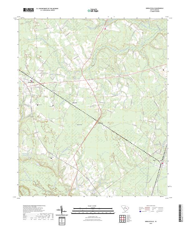 2024 Greeleyville2024 Print · USGSGreeleyville and its surrounding swamps are captured in this recent survey of Williamsburg County. Researchers can trace local lineage through sites like Mount Hope Cemetery or follow the historic road networks connecting Lane, Edwards, and Heineman.
 - 2024 Map of Salters, 2024 Print
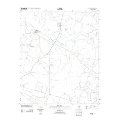
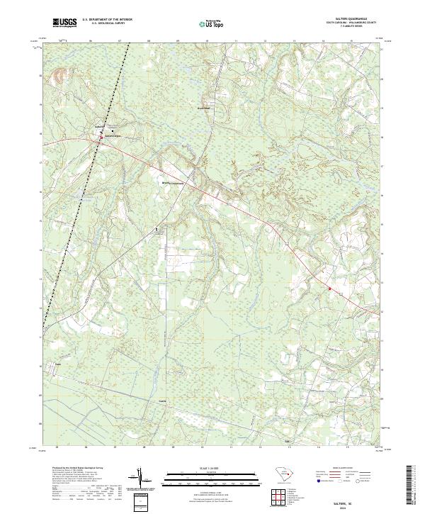 2024 Salters2024 Print · USGSWilliamsburg County at the present day retains the deep-rooted rural character of its swamp-and-rail landscape. Genealogists can trace family landmarks like Salters Church Graveyard and old junctions including Bryans Crossroads and Carris.
End of results
Showing maps 1-17 of 17
Top cities near Lane
Frequently asked questions
- What are the different types of historical maps available for Lane?
- What is the oldest map of Lane?
- Where can I purchase historical maps of Lane for my home or office?
- Where can I download high-res historical maps of Lane?
- Are there historical topographic maps available for Lane?
- Is there historical aerial imagery available for Lane?
- Where are historical maps of Lane sourced from?