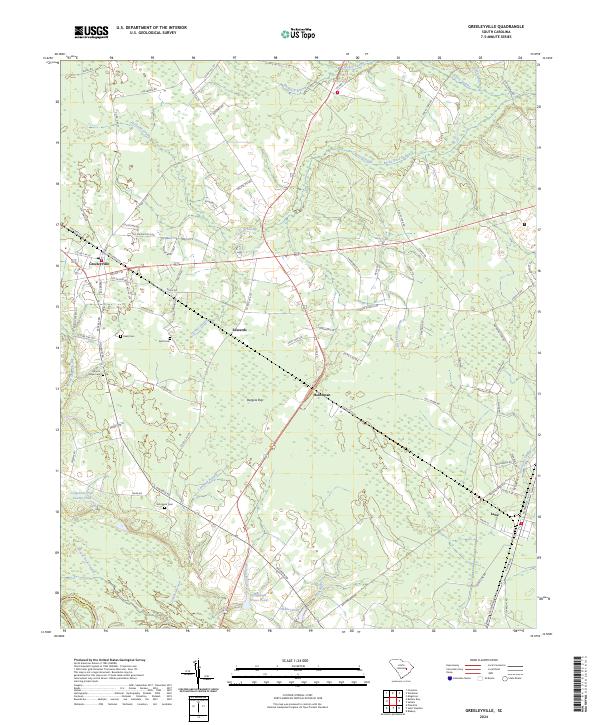
2024 Map of Greeleyville
USGS Topo · Published 2024About this map
Greeleyville serves as the primary hub of this Williamsburg County landscape, where the town street grid transitions into a network of rural roads and expansive lowlands. The geography is defined by an intricate system of watercourses including Rocky Ford Swamp, Chaney Swamp, and Mount Hope Swamp, which weave through the timbered terrain and small agricultural clearings. Pockets of local history are preserved in the various family and community burial grounds scattered across the area, such as Mount Hope Cemetery, Keels Cemetery, and Richmond Cemetery.
Find a feature on this map
90 named features on this map. Tap any name to fly to it.
Don’t see what you’re looking for? This feature index may not catch every label — zoom into the map to look around manually.
Map Details
Editions of this 2024 Greeleyville Map
This is the sole edition of this map. No revisions or reprints were ever made.
Other maps of this area

1920 · Chicora
USGS Topo · 1:48,000

1920 · Manning
USGS Topo · 1:48,000

1921 · Chicora
USGS Topo · 1:62,500

1921 · Manning
USGS Topo · 1:62,500

1943 · Chicora
USGS Topo · 1:62,500

1943 · Bonneau
USGS Topo · 1:62,500

1944 · Manning
USGS Topo · 1:62,500

1946 · Kingstree
USGS Topo · 1:62,500

1949 · Georgetown
USGS Topo · 1:250,000

1954 · Augusta
USGS Topo · 1:250,000