Old Maps of Center Township, South Dakota for Metal Detecting
Plan your next treasure hunt with 25 historic maps of Center Township. Find old homesites, ghost towns, trails, and gathering spots that may be lost to time — perfect for identifying promising metal detecting locations.
- Locate forgotten sites: Uncover places like long-lost settlements, abandoned rail lines, or gathering spots.
- Plan better hunts: Use map overlays combined with LiDAR or satellite views to narrow in on historically rich areas.
- Made for detectorists: Thousands of hobbyists use these maps to discover relics, coins, and hidden history.
Use these historic maps to boost your research and find new opportunities beneath the surface of Center Township.
Center Township, SD maps
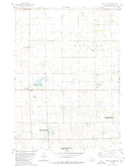
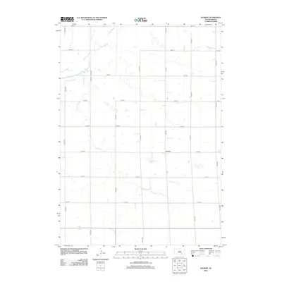
(25)- 1955 Map of Mitchell, 1973 Print
 1955 Mitchell1973 Print · USGSThe Missouri River valley undergoes a massive transformation in the mid-1950s as the Fort Randall Dam creates Lake Francis Case. You can trace the rail lines of the Chicago Milwaukee St Paul and Pacific through Mitchell or locate local landmarks like Butler Town Hall.2 unique versions available
 - 1959 Map of Mitchell
 1959 Mitchell1959 Print · USGSSouth Dakota’s river and rail corridors come alive in the late fifties as the Missouri River valley undergoes dramatic change. Genealogists and historians can trace family roots through numerous small towns and schools such as Academy, Stickney, and Gregory.2 unique versions available
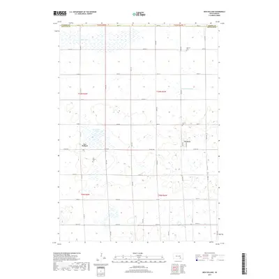
 - 1979 Map of New Holland, 1980 Print
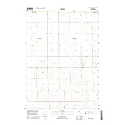
 1979 New Holland1980 Print · USGSDouglas County farm country is captured here in the late seventies, showing the established communities of New Holland and Harrison. Researchers can trace local roots at Ebenezer Ch or locate the Markus Sch and Beukelman Sch schoolhouses.
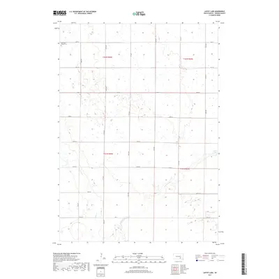
 - 1979 Map of Laffey Lake, 1980 Print
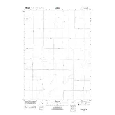
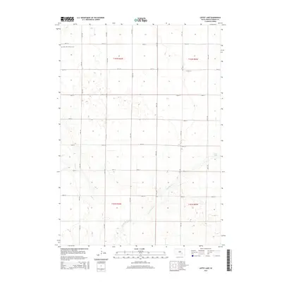
 1979 Laffey Lake1980 Print · USGSAurora County's agricultural heartland is documented here in the late seventies, showing the established township grids and prairie waterways. Researchers can trace land divisions across Gales and Center or locate landmarks like Laffey Lake.
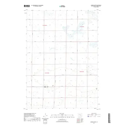
 - 1979 Map of Aurora Center, 1980 Print
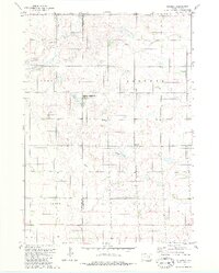
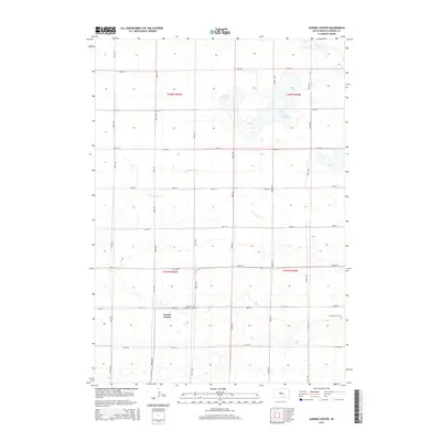
 1979 Aurora Center1980 Print · USGSAurora County's prairie landscape in the late 1970s is defined by its vast public shooting areas and scattered wetlands. Researchers can locate the Quaker Cem, explore the shores of Crystal Lake, and trace the small community of Aurora Center.
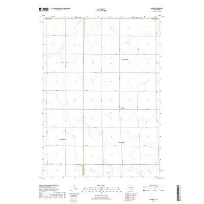
 - 1979 Map of Joubert, 1980 Print
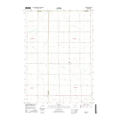
 1979 Joubert1980 Print · USGSThe rural prairie of Douglas and Aurora counties is captured here in the late seventies, showing a landscape shaped by agriculture and water management. Researchers can locate the Clark-Joubert Sch, the Townhall, and conserved lands in the National Waterfowl Production Area.
 - 1986 Map of Mitchell
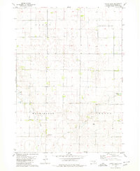
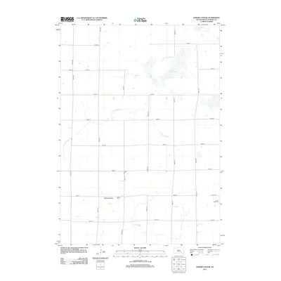
 1986 Mitchell1986 Print · USGSMitchell and the surrounding prairie towns are documented in the mid-1980s as the regional rail and agricultural network matured. Genealogists can locate specific sites like the State Training Sch, Aurora Center, and the Cedar Grove Colony.2 unique versions available
 - 1986 Map of Lake Andes
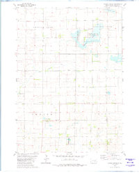
 1986 Lake Andes1986 Print · USGSThe Yankton Indian Reservation and the vast Missouri River impoundments define this South Dakota landscape in the mid-eighties. Researchers can trace old township lines and the Old Railroad Grade, or locate sites like Fort Randall and the Pleasant Ridge Cem.3 unique versions available
 - 1990 Map of Mitchell, 1991 Print
 1990 Mitchell1991 Print · USGSThe Missouri River and the surrounding South Dakota plains are captured here in the early nineties, showing a landscape shaped by water and wire. Genealogists and historians can trace the gridded townships from Mitchell to the Bijou Hills, locating sites like the Platte Colony and Academy.
 - 2012 Map of Joubert, 2012 Print
 2012 Joubert2012 Print · USGSCovers Center Township, including Joubert, Darlington Township, and other nearby areas
 - 2012 Map of Aurora Center, 2012 Print
 2012 Aurora Center2012 Print · USGSCovers Center Township, including Truro Township, Crystal Lake Township, and other nearby areas
 - 2012 Map of Laffey Lake, 2012 Print
 2012 Laffey Lake2012 Print · USGSCovers Center Township, including Crystal Lake Township, Gales Township, and other nearby areas
 - 2012 Map of New Holland, 2012 Print
 2012 New Holland2012 Print · USGSCovers Center Township, including Holland Township, Harrison, and other nearby areas
 - 2015 Map of Aurora Center, 2015 Print
 2015 Aurora Center2015 Print · USGSCovers Center Township, including Truro Township, Crystal Lake Township, and other nearby areas
 - 2015 Map of New Holland, 2015 Print
 2015 New Holland2015 Print · USGSCovers Center Township, including Holland Township, Harrison, and other nearby areas
 - 2015 Map of Laffey Lake, 2015 Print
 2015 Laffey Lake2015 Print · USGSCovers Center Township, including Crystal Lake Township, Gales Township, and other nearby areas
 - 2015 Map of Joubert, 2015 Print
 2015 Joubert2015 Print · USGSCovers Center Township, including Joubert, Darlington Township, and other nearby areas
 - 2017 Map of New Holland, 2017 Print
 2017 New Holland2017 Print · USGSCovers Center Township, including Holland Township, Harrison, and other nearby areas
 - 2017 Map of Aurora Center, 2017 Print
 2017 Aurora Center2017 Print · USGSCovers Center Township, including Truro Township, Crystal Lake Township, and other nearby areas
 - 2017 Map of Joubert, 2017 Print
 2017 Joubert2017 Print · USGSCovers Center Township, including Joubert, Darlington Township, and other nearby areas
 - 2017 Map of Laffey Lake, 2017 Print
 2017 Laffey Lake2017 Print · USGSCovers Center Township, including Crystal Lake Township, Gales Township, and other nearby areas
 - 2021 Map of Laffey Lake, 2021 Print
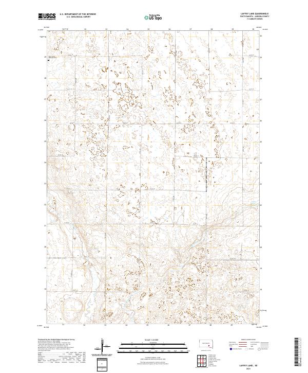 2021 Laffey Lake2021 Print · USGSAurora County's prairie landscape is documented here in the early twenty-first century, showing a traditional agrarian grid defined by water and history. Genealogists and local historians can locate Saint Johns Lutheran Cem or trace the drainages of Platte Cr and Laffey Lake.
 - 2021 Map of Aurora Center, 2021 Print
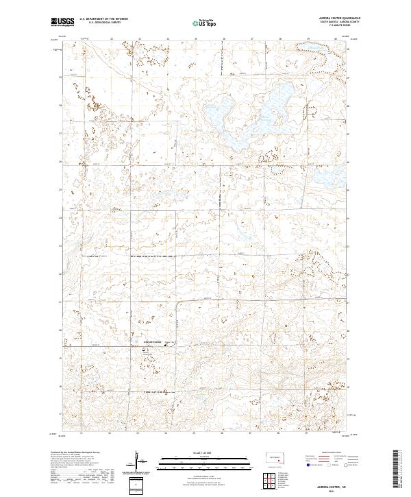 2021 Aurora Center2021 Print · USGSAurora County in the early 2020s remains a landscape defined by its agricultural grid and the small settlement of Aurora Center. Genealogists and local historians can locate the Aurora Center Cem and Quaker Cem or trace the path of the E Fork Platte Cr.
 - 2021 Map of Joubert, 2021 Print
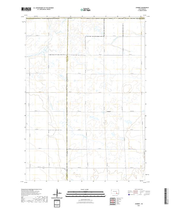 2021 Joubert2021 Print · USGSDouglas County farming life is captured here in the 2020s, centered on the historic crossroads of Joubert. Researchers can trace the sophisticated water management of the prairie through named features like Sluiter Drain and the E Fork Platte Cr.
 - 2021 Map of New Holland, 2021 Print
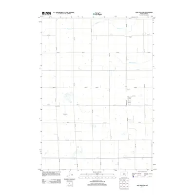
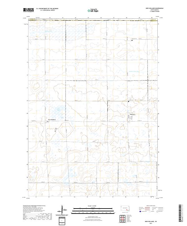 2021 New Holland2021 Print · USGSThe Douglas County prairie comes into focus in this contemporary survey of Harrison and New Holland. Trace family history at Ebenezer Cem or study the regional irrigation system through the Garden Valley Ditch.
End of results
Showing maps 1-25 of 25
Top cities near Center Township
- Platte historical maps
- Corsica historical maps
- Plankinton historical maps
- White Lake historical maps
- Stickney historical maps
- Joubert historical maps
Top neighborhoods of Center Township
Frequently asked questions
- What are the different types of historical maps available for Center Township?
- What is the oldest map of Center Township?
- Where can I purchase historical maps of Center Township for my home or office?
- Where can I download high-res historical maps of Center Township?
- Are there historical topographic maps available for Center Township?
- Is there historical aerial imagery available for Center Township?
- Where are historical maps of Center Township sourced from?