Old Maps of Emanuel Township, South Dakota for Hiking & Exploration
Hike through history with 24 historic maps of Emanuel Township. Explore old trails, ghost towns, and forgotten backroads — perfect for outdoor adventurers and local explorers.
- Rediscover forgotten places: Map out old mining camps, roads, and footpaths that no longer exist on modern maps.
- Layer with modern tools: Combine with LiDAR or satellite views to plan hikes through historical terrain.
- Made for exploration: Popular among hikers, overlanders, and local history lovers.
Use these maps to find adventure and explore the hidden past of Emanuel Township.
Emanuel Township, SD maps
(24)- 1898 Map of Olivet
 1898 Olivet1898 Print · USGSHutchinson County at the close of the nineteenth century was a landscape of emerging rail towns and river valley farmsteads. Trace the early expansion of the Chicago Milwaukee and St Paul RR near Olivet and Scotland.4 unique versions available
 - 1955 Map of Sioux Falls, 1967 Print
 1955 Sioux Falls1967 Print · USGSThe eastern South Dakota and western Minnesota borderlands come alive in the mid-fifties, showing the vital rail-to-river connections of the era. Genealogists can trace family footprints across townships like Madison and Pipestone, while following the paths of the Big Sioux River and the Chicago and North Western line.3 unique versions available
 - 1958 Map of Sioux Falls
 1958 Sioux Falls1958 Print · USGSThe tri-state borderlands of South Dakota, Minnesota, and Iowa are captured here during the mid-century peak of the regional rail network. Genealogists and historians can trace local landmarks like Augustana Academy, the St Marys Cem, and the path of the Illinois Central through Rock Rapids.
 - 1978 Map of Tripp SE
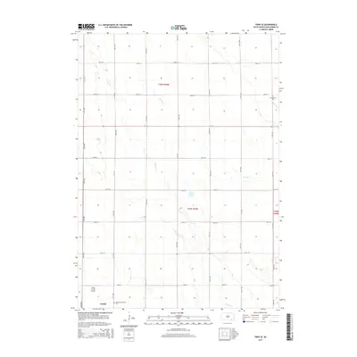
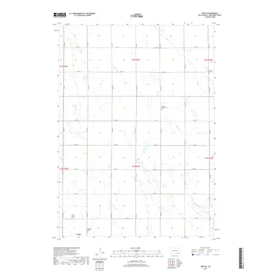
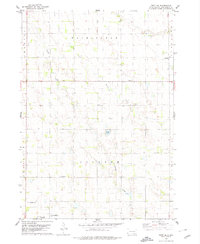 1978 Tripp SE1978 Print · USGSBon Homme County farm country is captured here in the late seventies, showing the transition between established townships. Genealogists can locate family burial sites at the Bohemian National Cem or trace rural education at Blaha Sch and Nedved Sch.
 - 1978 Map of Haucks Lake, 1979 Print
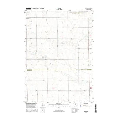
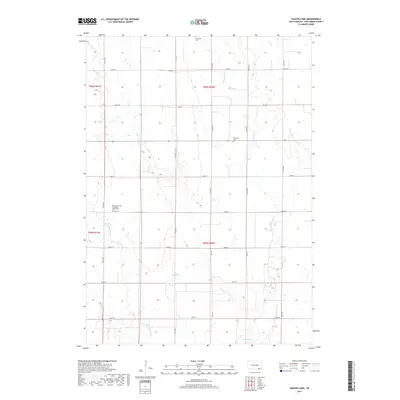
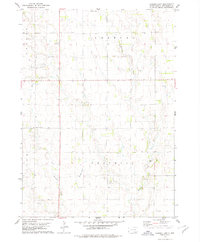 1978 Haucks Lake1979 Print · USGSBon Homme County in the late seventies reveals a landscape of prairie townships and agricultural tradition. Genealogists and local historians can trace rural roots at Danzig Ch Cem and identify former school sites like Dewald Sch or Hoff Sch.
 - 1978 Map of Kaylor, 1979 Print
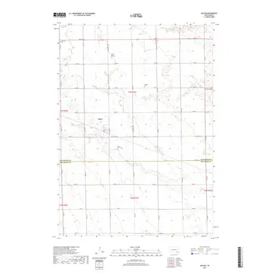
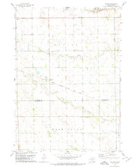 1978 Kaylor1979 Print · USGSThe rural landscape around the settlement of Kaylor in the late 1970s is defined by its rail-linked economy and creek-fed pastures. Genealogists and researchers can trace the locations of Dennewitz Cem and St Johns Cem near the Chicago Milwaukee St Paul and Pacific line.
 - 1978 Map of Tripp, 1979 Print
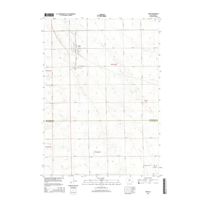
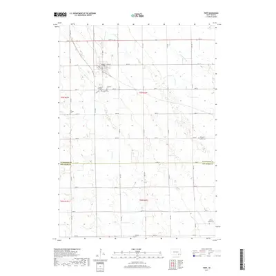
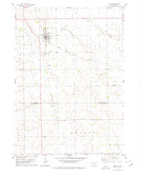 1978 Tripp1979 Print · USGSHutchinson and Bon Homme Counties are captured here in the late seventies, centered on the rail-side town of Tripp. Genealogists can trace a remarkable number of family burial sites, including Hoffnungstal Cem, Zion Cem, and Holy Rosary Cem.
 - 1985 Map of Freeman
 1985 Freeman1985 Print · USGSThe James River valley in the mid-1980s reveals a landscape of communal farming colonies and railroad-anchored prairie towns. Researchers can trace the layout of several Hutterite settlements like Maxwell Colony or locate local landmarks like Gagna Station and Turkey Ridge.2 unique versions available
 - 2012 Map of Kaylor, 2012 Print
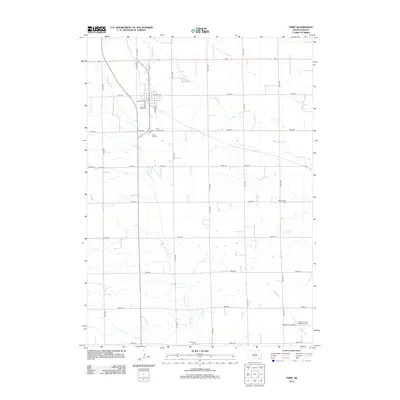
 2012 Kaylor2012 Print · USGSCovers Emanuel Township, including Kaylor, Capital Township, and other nearby areas
 - 2012 Map of Haucks Lake, 2012 Print
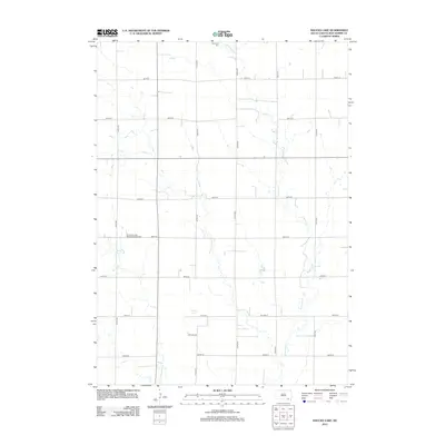 2012 Haucks Lake2012 Print · USGSCovers Emanuel Township, including Monroe Township, Avon Township, and other nearby areas
 - 2012 Map of Tripp SE, 2012 Print
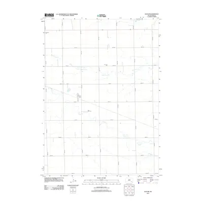
 2012 Tripp SE2012 Print · USGSCovers Emanuel Township, including Washington Township, Scotland Township, and other nearby areas
 - 2012 Map of Tripp, 2012 Print
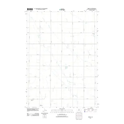
 2012 Tripp2012 Print · USGSCovers Emanuel Township, including Tripp, Monroe Township, and other nearby areas
 - 2015 Map of Kaylor, 2015 Print
 2015 Kaylor2015 Print · USGSCovers Emanuel Township, including Kaylor, Capital Township, and other nearby areas
 - 2015 Map of Tripp SE, 2015 Print
 2015 Tripp SE2015 Print · USGSCovers Emanuel Township, including Washington Township, Scotland Township, and other nearby areas
 - 2015 Map of Tripp, 2015 Print
 2015 Tripp2015 Print · USGSCovers Emanuel Township, including Tripp, Monroe Township, and other nearby areas
 - 2015 Map of Haucks Lake, 2015 Print
 2015 Haucks Lake2015 Print · USGSCovers Emanuel Township, including Monroe Township, Avon Township, and other nearby areas
 - 2017 Map of Haucks Lake, 2017 Print
 2017 Haucks Lake2017 Print · USGSCovers Emanuel Township, including Monroe Township, Avon Township, and other nearby areas
 - 2017 Map of Tripp SE, 2017 Print
 2017 Tripp SE2017 Print · USGSCovers Emanuel Township, including Washington Township, Scotland Township, and other nearby areas
 - 2017 Map of Kaylor, 2017 Print
 2017 Kaylor2017 Print · USGSCovers Emanuel Township, including Kaylor, Capital Township, and other nearby areas
 - 2017 Map of Tripp, 2017 Print
 2017 Tripp2017 Print · USGSCovers Emanuel Township, including Tripp, Monroe Township, and other nearby areas
 - 2021 Map of Tripp, 2021 Print
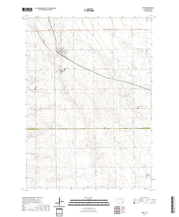 2021 Tripp2021 Print · USGSHutchinson County agriculture and small-town life define this region in the early 2020s. Genealogists can locate numerous local burial sites including Zion Lutheran Cem, Hoffnungstal Cem, and Grace Hill Cem near the town of Tripp.
 - 2021 Map of Tripp SE, 2021 Print
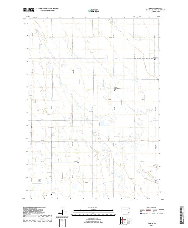 2021 Tripp SE2021 Print · USGSBon Homme County is captured here in the early 2020s, showing a well-ordered landscape of section-line roads and prairie waterways. Genealogists can locate family sites near the Bohemian National Cem, Freidenthal Cem, and the waters of Clear Lake.
 - 2021 Map of Haucks Lake, 2021 Print
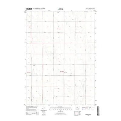
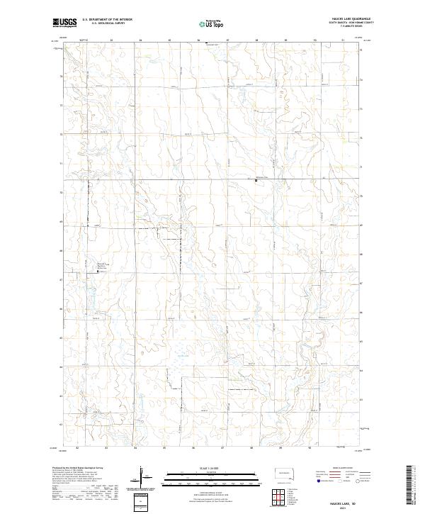 2021 Haucks Lake2021 Print · USGSBon Homme County is shown in this contemporary landscape of rural South Dakota, where the section grid meets the winding waters of Emanuel Creek. Researchers can locate several burial sites including the Emanuel Creek Baptisten Kirche Cem and Wittmeier Cem.
 - 2021 Map of Kaylor, 2021 Print
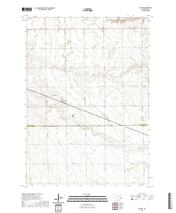 2021 Kaylor2021 Print · USGSSoutheastern South Dakota prairie life is preserved here in the early twenty-first century. Genealogists can locate family burial plots such as Emil G Mogck Farm Cem and Simental Cem or trace the drainage of Dawson Cr near Kaylor.
End of results
Showing maps 1-24 of 24
Top cities near Emanuel Township
- Tyndall historical maps
- Scotland historical maps
- Tripp historical maps
- Avon historical maps
- Delmont historical maps
- Kaylor historical maps
Top neighborhoods of Emanuel Township
Frequently asked questions
- What are the different types of historical maps available for Emanuel Township?
- What is the oldest map of Emanuel Township?
- Where can I purchase historical maps of Emanuel Township for my home or office?
- Where can I download high-res historical maps of Emanuel Township?
- Are there historical topographic maps available for Emanuel Township?
- Is there historical aerial imagery available for Emanuel Township?
- Where are historical maps of Emanuel Township sourced from?