2000s (21st Century) Maps of Aurora Township, South Dakota
Explore 8 historic maps of Aurora Township from the 2000s (21st Century). These maps offer a rare glimpse into what life looked like during the 2000s — showing old roads, neighborhoods, homes, and landmarks that have changed or disappeared over time.
Whether you're researching your family's past, planning a metal detecting trip, or studying how Aurora Township's landscape evolved across the 2000s, these high-resolution maps are a powerful tool for exploring the history of this region.
- Focus on a specific era: All maps on this page are from the 2000s, giving you a focused view of this time period.
- See what’s changed: Compare century-old streets, trails, and buildings to today's modern landscape using overlays and satellite layers.
- Research with precision: Use these maps for genealogy, historical research, land use analysis, or educational projects.
- View, download, or print: Maps are fully viewable online in high resolution, and can be downloaded or printed for your own records.
Start exploring Aurora Township's history through authentic maps from the 2000s. This is your window into the past.
Aurora Township, SD maps
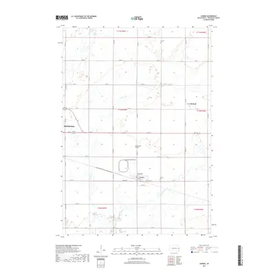
(8)- 2012 Map of Aurora, 2012 Print
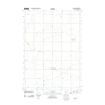 2012 Aurora2012 Print · USGSCovers Aurora Township, including Brookings, Aurora, and other nearby areas
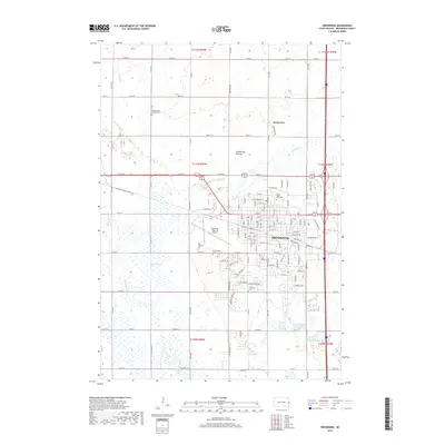
 - 2012 Map of Brookings, 2012 Print
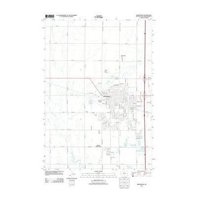 2012 Brookings2012 Print · USGSCovers Aurora Township, including Brookings, Sunnyview, and other nearby areas
 - 2015 Map of Brookings, 2015 Print
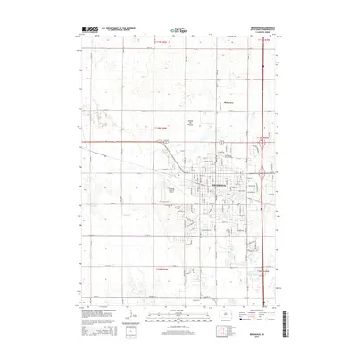 2015 Brookings2015 Print · USGSCovers Aurora Township, including Brookings, Sunnyview, and other nearby areas
 - 2015 Map of Aurora, 2015 Print
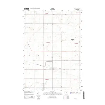 2015 Aurora2015 Print · USGSCovers Aurora Township, including Brookings, Aurora, and other nearby areas
 - 2017 Map of Aurora, 2017 Print
 2017 Aurora2017 Print · USGSCovers Aurora Township, including Brookings, Aurora, and other nearby areas
 - 2017 Map of Brookings, 2017 Print
 2017 Brookings2017 Print · USGSCovers Aurora Township, including Brookings, Sunnyview, and other nearby areas
 - 2021 Map of Aurora, 2021 Print
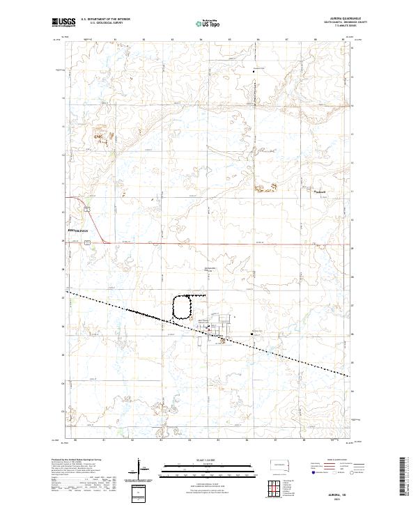 2021 Aurora2021 Print · USGSBrookings County at the start of the 2020s shows the enduring agricultural and township structure of eastern South Dakota. Researchers can locate family sites near Saint Williams Catholic Cem, Fairlawn Cem, and the small community of Bushnell.
 - 2021 Map of Brookings, 2021 Print
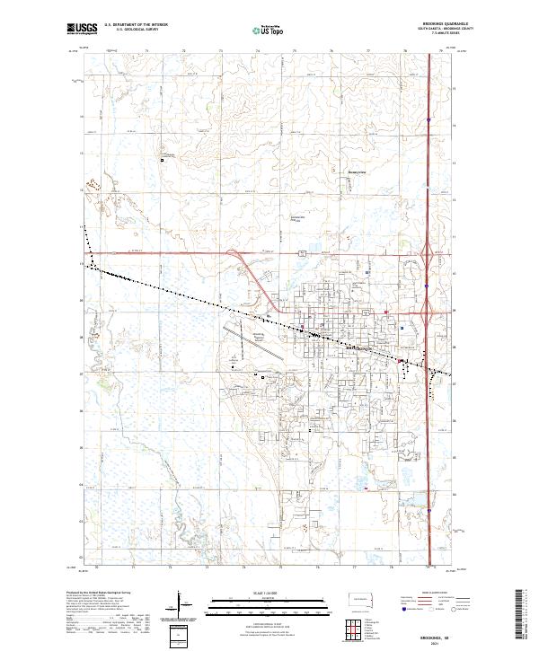 2021 Brookings2021 Print · USGSBrookings and its surrounding prairies are captured here in the early twenty-first century as the city continues to expand around the state's largest university. Researchers can locate legacy family sites like Scandinavian Lutheran Cem and Greenwood Cem or trace the Jay Heath Canoe & Kayak Trl along the western creeks.
End of results
Showing maps 1-8 of 8
Top cities near Aurora Township
- Brookings historical maps
- Volga historical maps
- Medary historical maps
- Elkton historical maps
- White historical maps
- Aurora historical maps
See more
Frequently asked questions
- What are the different types of historical maps available for Aurora Township?
- What is the oldest map of Aurora Township?
- Where can I purchase historical maps of Aurora Township for my home or office?
- Where can I download high-res historical maps of Aurora Township?
- Are there historical topographic maps available for Aurora Township?
- Is there historical aerial imagery available for Aurora Township?
- Where are historical maps of Aurora Township sourced from?