Old Maps of Lake Hendricks Township, South Dakota for Hiking & Exploration
Hike through history with 26 historic maps of Lake Hendricks Township. Explore old trails, ghost towns, and forgotten backroads — perfect for outdoor adventurers and local explorers.
- Rediscover forgotten places: Map out old mining camps, roads, and footpaths that no longer exist on modern maps.
- Layer with modern tools: Combine with LiDAR or satellite views to plan hikes through historical terrain.
- Made for exploration: Popular among hikers, overlanders, and local history lovers.
Use these maps to find adventure and explore the hidden past of Lake Hendricks Township.
Lake Hendricks Township, SD maps
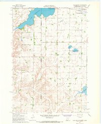
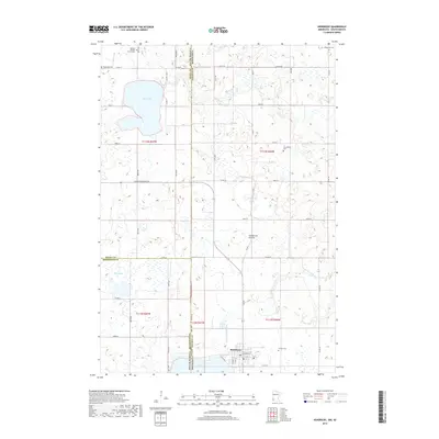
(26)- 1953 Map of Watertown, 1968 Print
 1953 Watertown1968 Print · USGSEastern South Dakota and the Minnesota borderlands are captured here during the mid-twentieth century as the region's agricultural and rail-service centers thrived. Genealogists and local historians can trace family-named sites across the Coteau des Prairies and find landmarks in Watertown, De Smet, and Brookings.3 unique versions available
 - 1958 Map of Watertown
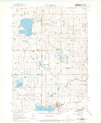
 1958 Watertown1958 Print · USGSThe eastern South Dakota prairie and the Minnesota borderlands are captured here in the late fifties, showcasing a landscape of terminal moraine lakes and burgeoning rail hubs. Genealogists and historians can trace the early paths of the Chicago and North Western railroad or locate family roots in Watertown, Clark, or the Sisseton Indian Reservation.2 unique versions available
 - 1967 Map of Lake Benton NW, 1968 Print
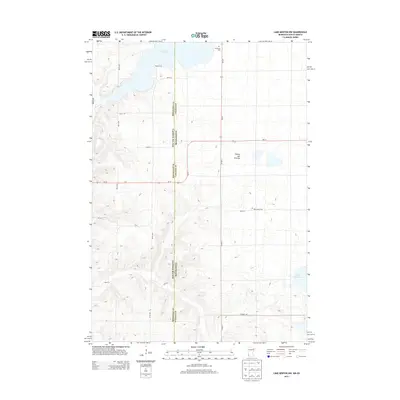
 1967 Lake Benton NW1968 Print · USGSThe prairie lake country of Lincoln County is documented here in the late sixties, just as modern conservation areas were becoming established. Researchers can locate family landmarks like Trulock Cem and New Grove Ch or trace the Chicago and North Western rail line.2 unique versions available
 - 1967 Map of Hendricks, 1969 Print
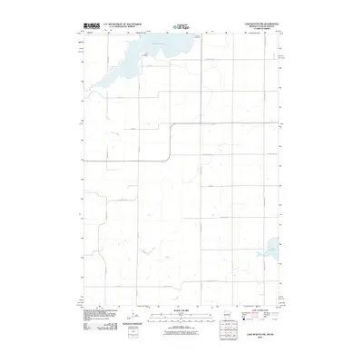
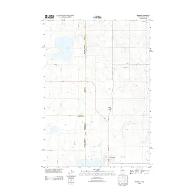
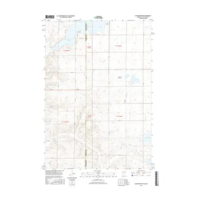
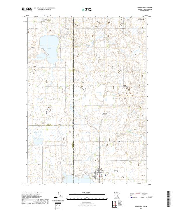
 1967 Hendricks1969 Print · USGSThe Minnesota-South Dakota borderlands come into focus in the late 1960s as a landscape of prairie lakes and pioneer congregations. Trace family roots at the Singsaas Ch Cem or Bohemian Cem, and follow the Chicago and North Western tracks into Hendricks.
 - 1970 Map of White NE, 1972 Print
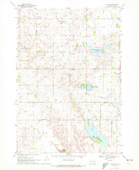
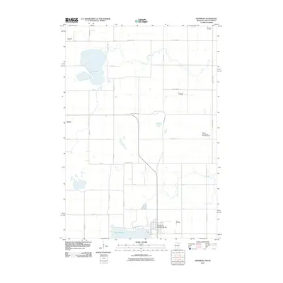
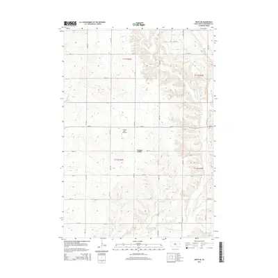
 1970 White NE1972 Print · USGSEastern Brookings County at the start of the 1970s shows a landscape of established townships and prairie waterways. Researchers can trace land boundaries near Oak Lake, locate the local Townhall, and study the shoreline of Lake Hendricks.
 - 1970 Map of Astoria, 1972 Print
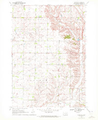
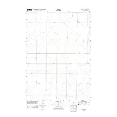
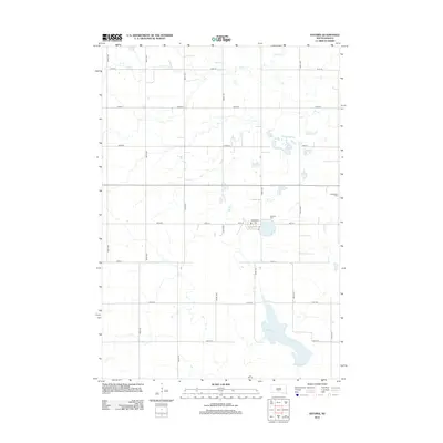
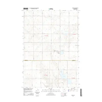
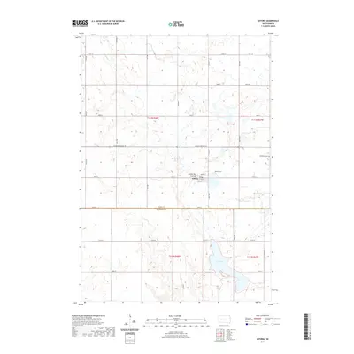
 1970 Astoria1972 Print · USGSThe town of Astoria sits at a crossroads of rail and prairie at the start of the 1970s. Genealogists and historians can trace the Chicago and North Western tracks, locate Bethlehem Cem, and explore the conservation lands around Oak Lake.
 - 1985 Map of Brookings
 1985 Brookings1985 Print · USGSThe South Dakota and Minnesota borderlands in the mid-1980s are defined here by a network of prairie lakes and bustling rail corridors. Researchers can trace the path of the Chicago and North Western through Brookings or explore the numerous wetlands of Oakwood Lakes State Park.2 unique versions available
 - 1985 Map of Clear Lake
 1985 Clear Lake1985 Print · USGSThe South Dakota and Minnesota borderlands are captured here in the mid-eighties as a landscape of prairie towns and wildlife refuges. Researchers can trace the legacy of regional transport through the Chicago and North Western tracks and the Old Railroad Grade.2 unique versions available
 - 2010 Map of Lake Benton NW, 2010 Print
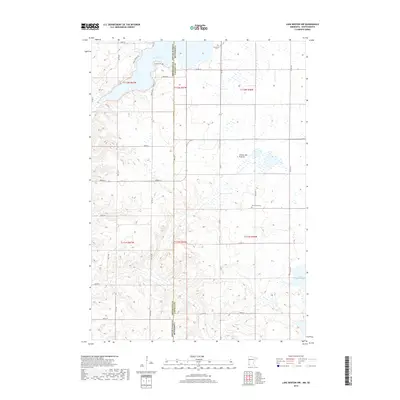
 2010 Lake Benton NW2010 Print · USGSCovers Lake Hendricks Township, including Hendricks, Richland Township, and other nearby areas
 - 2010 Map of Hendricks, 2010 Print
 2010 Hendricks2010 Print · USGSCovers Lake Hendricks Township, including Hendricks, Scandinavia Township, and other nearby areas
 - 2012 Map of White NE, 2012 Print
 2012 White NE2012 Print · USGSCovers Lake Hendricks Township, including Sherman Township, Norfeld Hutterite Colony, and other nearby areas
 - 2012 Map of Astoria, 2012 Print
 2012 Astoria2012 Print · USGSCovers Lake Hendricks Township, including Astoria, Scandinavia Township, and other nearby areas
 - 2013 Map of Hendricks, 2013 Print
 2013 Hendricks2013 Print · USGSCovers Lake Hendricks Township, including Hendricks, Scandinavia Township, and other nearby areas
 - 2013 Map of Lake Benton NW, 2013 Print
 2013 Lake Benton NW2013 Print · USGSCovers Lake Hendricks Township, including Hendricks, Richland Township, and other nearby areas
 - 2015 Map of White NE, 2015 Print
 2015 White NE2015 Print · USGSCovers Lake Hendricks Township, including Sherman Township, Norfeld Hutterite Colony, and other nearby areas
 - 2015 Map of Astoria, 2015 Print
 2015 Astoria2015 Print · USGSCovers Lake Hendricks Township, including Astoria, Scandinavia Township, and other nearby areas
 - 2016 Map of Lake Benton NW, 2016 Print
 2016 Lake Benton NW2016 Print · USGSCovers Lake Hendricks Township, including Hendricks, Richland Township, and other nearby areas
 - 2016 Map of Hendricks, 2016 Print
 2016 Hendricks2016 Print · USGSCovers Lake Hendricks Township, including Hendricks, Scandinavia Township, and other nearby areas
 - 2017 Map of Astoria, 2017 Print
 2017 Astoria2017 Print · USGSCovers Lake Hendricks Township, including Astoria, Scandinavia Township, and other nearby areas
 - 2017 Map of White NE, 2017 Print
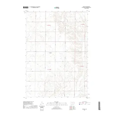 2017 White NE2017 Print · USGSCovers Lake Hendricks Township, including Sherman Township, Norfeld Hutterite Colony, and other nearby areas
 - 2019 Map of Hendricks, 2019 Print
 2019 Hendricks2019 Print · USGSCovers Lake Hendricks Township, including Hendricks, Scandinavia Township, and other nearby areas
 - 2019 Map of Lake Benton NW, 2019 Print
 2019 Lake Benton NW2019 Print · USGSCovers Lake Hendricks Township, including Hendricks, Richland Township, and other nearby areas
 - 2021 Map of White NE, 2021 Print
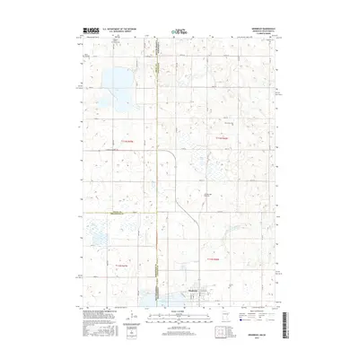
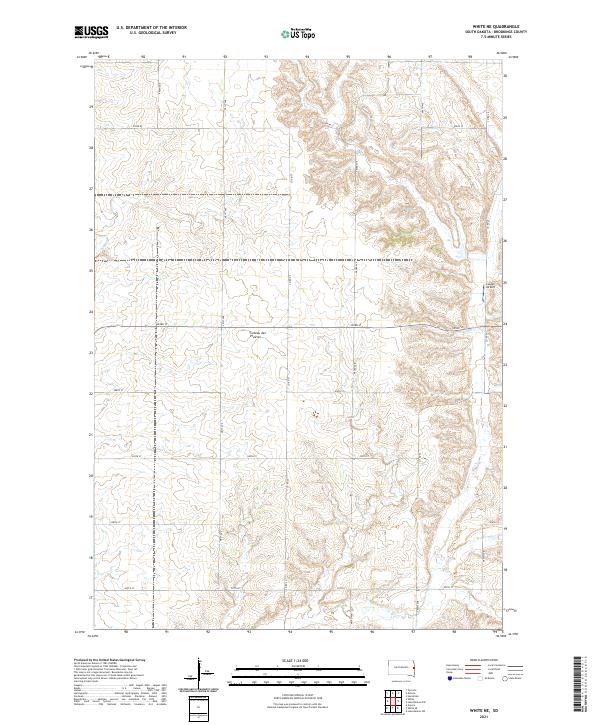 2021 White NE2021 Print · USGSBrookings County, South Dakota, is captured here in the early twenty-first century as a landscape defined by its glacial heritage and agricultural grid. Genealogists and local researchers can trace the rural sections of the Coteau des Prairies and locate landmarks like Lutgen Airport and Sixmile Cr.
 - 2021 Map of Astoria, 2021 Print
 2021 Astoria2021 Print · USGSThe high plateau of the Coteau des Prairies meets the rural grid of Deuel County in this contemporary survey of eastern South Dakota. Researchers can locate the town of Astoria, trace the waters of Oak Lake, and find local family sites at Bethlehem Cem.
 - 2022 Map of Hendricks, 2022 Print
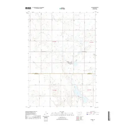
 2022 Hendricks2022 Print · USGSThe high plains of the Minnesota-South Dakota border come into focus in this recent survey of the Coteau des Prairies. Genealogists can trace rural roots through several local landmarks like Swedish Mission Church and Bohemian Cem near Hendricks.
Showing maps 1-25 of 26
Top cities near Lake Hendricks Township
- Canby historical maps
- Hendricks historical maps
- Lake Benton historical maps
- White historical maps
- Aurora historical maps
- Toronto historical maps
See more
Frequently asked questions
- What are the different types of historical maps available for Lake Hendricks Township?
- What is the oldest map of Lake Hendricks Township?
- Where can I purchase historical maps of Lake Hendricks Township for my home or office?
- Where can I download high-res historical maps of Lake Hendricks Township?
- Are there historical topographic maps available for Lake Hendricks Township?
- Is there historical aerial imagery available for Lake Hendricks Township?
- Where are historical maps of Lake Hendricks Township sourced from?