Old Maps of Oakwood Township, South Dakota for Hiking & Exploration
Hike through history with 24 historic maps of Oakwood Township. Explore old trails, ghost towns, and forgotten backroads — perfect for outdoor adventurers and local explorers.
- Rediscover forgotten places: Map out old mining camps, roads, and footpaths that no longer exist on modern maps.
- Layer with modern tools: Combine with LiDAR or satellite views to plan hikes through historical terrain.
- Made for exploration: Popular among hikers, overlanders, and local history lovers.
Use these maps to find adventure and explore the hidden past of Oakwood Township.
Oakwood Township, SD maps
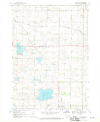
(24)- 1953 Map of Watertown, 1968 Print
 1953 Watertown1968 Print · USGSEastern South Dakota and the Minnesota borderlands are captured here during the mid-twentieth century as the region's agricultural and rail-service centers thrived. Genealogists and local historians can trace family-named sites across the Coteau des Prairies and find landmarks in Watertown, De Smet, and Brookings.3 unique versions available
 - 1958 Map of Watertown
 1958 Watertown1958 Print · USGSThe eastern South Dakota prairie and the Minnesota borderlands are captured here in the late fifties, showcasing a landscape of terminal moraine lakes and burgeoning rail hubs. Genealogists and historians can trace the early paths of the Chicago and North Western railroad or locate family roots in Watertown, Clark, or the Sisseton Indian Reservation.2 unique versions available
 - 1968 Map of Lake Sinai, 1970 Print
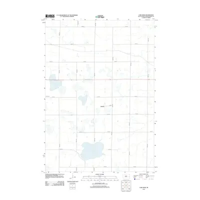
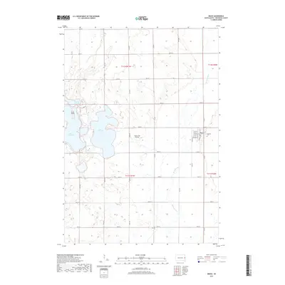
 1968 Lake Sinai1970 Print · USGSBrookings County, South Dakota, is captured here in the late 1960s as a landscape of prairie lakes and developing rail lines. Researchers can trace local roots at the Bangor Cem, find the settlement of Ahnberg, and follow the path of the Chicago and North Western railroad.
 - 1968 Map of Bruce, 1970 Print
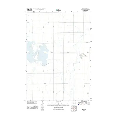
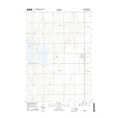
 1968 Bruce1970 Print · USGSThe Brookings County plains come into focus in the late 1960s, showing the intersection of rail and river near the town of Bruce. Researchers can trace the Chicago and North Western tracks or locate family plots in the Bruce Cem and explore the shoreline of Lake Tetonkaha.
 - 1968 Map of Volga, 1970 Print
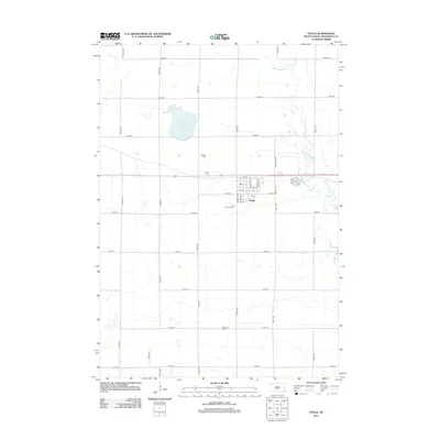
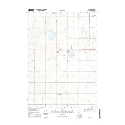
 1968 Volga1970 Print · USGSEastern South Dakota’s prairie landscape is documented here in the late sixties, centered on the growing community of Volga. Researchers can trace local heritage through several pioneer burial grounds like Trinity Cem or locate the Townhall near Bethania Cem.
 - 1968 Map of Arlington NE, 1970 Print
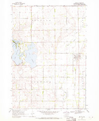
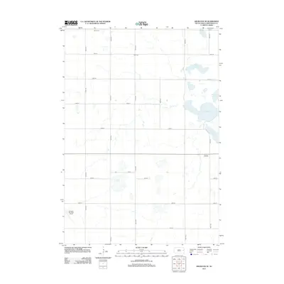
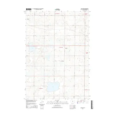
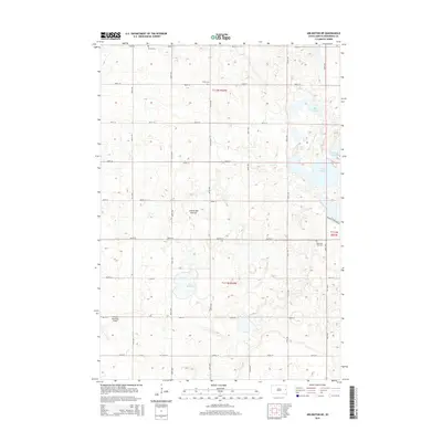
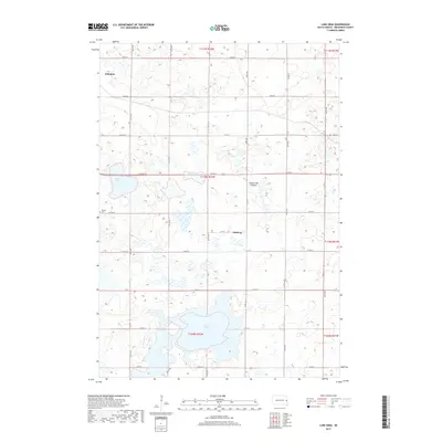
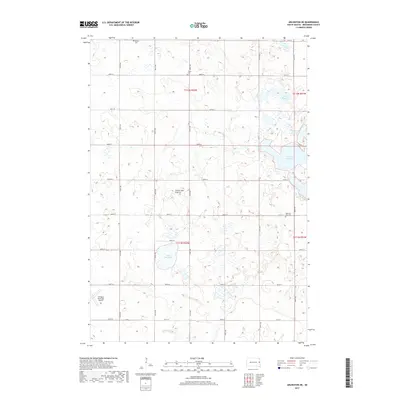
 1968 Arlington NE1970 Print · USGSThe glacial lake country of eastern South Dakota is captured here in the late sixties, showing the intersection of Laketon and Preston townships. Genealogists and researchers can locate Oakwood Zion Cem, Moe Slough, and Johnson Lake.
 - 1985 Map of Brookings
 1985 Brookings1985 Print · USGSThe South Dakota and Minnesota borderlands in the mid-1980s are defined here by a network of prairie lakes and bustling rail corridors. Researchers can trace the path of the Chicago and North Western through Brookings or explore the numerous wetlands of Oakwood Lakes State Park.2 unique versions available
 - 1985 Map of De Smet, 1986 Print
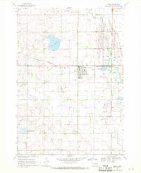
 1985 De Smet1986 Print · USGSEastern South Dakota in the mid-eighties shows a landscape of prairie rail towns and sprawling glacial lakes. Researchers can trace the routes of the Chicago and North Western through De Smet or locate communal sites like Pearl Creek Colony and Cloverleaf Colony.3 unique versions available
 - 2012 Map of Bruce, 2012 Print
 2012 Bruce2012 Print · USGSCovers Oakwood Township, including Bruce, Sterling Township, and other nearby areas
 - 2012 Map of Lake Sinai, 2012 Print
 2012 Lake Sinai2012 Print · USGSCovers Oakwood Township, including Arlington, Bangor Township, and other nearby areas
 - 2012 Map of Arlington NE, 2012 Print
 2012 Arlington NE2012 Print · USGSCovers Oakwood Township, including Winsor Township, Preston Township, and other nearby areas
 - 2012 Map of Volga, 2012 Print
 2012 Volga2012 Print · USGSCovers Oakwood Township, including Volga, Oslo Township, and other nearby areas
 - 2015 Map of Lake Sinai, 2015 Print
 2015 Lake Sinai2015 Print · USGSCovers Oakwood Township, including Arlington, Bangor Township, and other nearby areas
 - 2015 Map of Volga, 2015 Print
 2015 Volga2015 Print · USGSCovers Oakwood Township, including Volga, Oslo Township, and other nearby areas
 - 2015 Map of Bruce, 2015 Print
 2015 Bruce2015 Print · USGSCovers Oakwood Township, including Bruce, Sterling Township, and other nearby areas
 - 2015 Map of Arlington NE, 2015 Print
 2015 Arlington NE2015 Print · USGSCovers Oakwood Township, including Winsor Township, Preston Township, and other nearby areas
 - 2017 Map of Lake Sinai, 2017 Print
 2017 Lake Sinai2017 Print · USGSCovers Oakwood Township, including Arlington, Bangor Township, and other nearby areas
 - 2017 Map of Arlington NE, 2017 Print
 2017 Arlington NE2017 Print · USGSCovers Oakwood Township, including Winsor Township, Preston Township, and other nearby areas
 - 2017 Map of Volga, 2017 Print
 2017 Volga2017 Print · USGSCovers Oakwood Township, including Volga, Oslo Township, and other nearby areas
 - 2017 Map of Bruce, 2017 Print
 2017 Bruce2017 Print · USGSCovers Oakwood Township, including Bruce, Sterling Township, and other nearby areas
 - 2021 Map of Volga, 2021 Print
 2021 Volga2021 Print · USGSThe glacial highlands of the Coteau des Prairies define this Brookings County landscape as it appeared in the early 2020s. Researchers can locate several burial sites like Hillside Cem and Bethania Cem or trace the Big Sioux River shoreline.
 - 2021 Map of Lake Sinai, 2021 Print
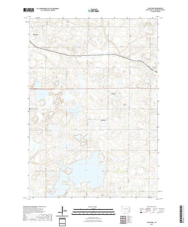 2021 Lake Sinai2021 Print · USGSEastern South Dakota's glacial landscape is captured here in the early twenty-first century, showing the prairie pothole region near the Coteau des Prairies. Researchers can locate Bangor Cem, the waters of Lake Sinai, and the rural community of Ahnberg.
 - 2021 Map of Arlington NE, 2021 Print
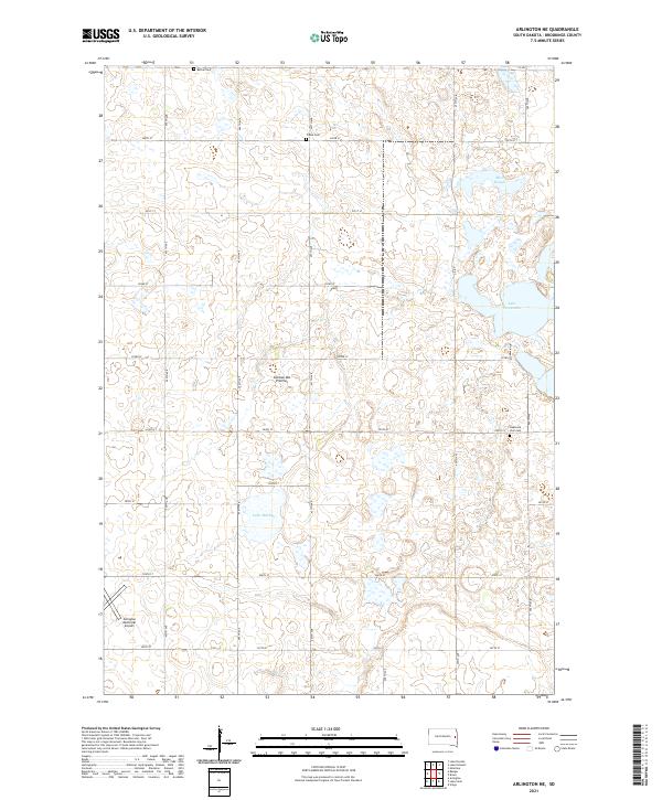 2021 Arlington NE2021 Print · USGSBrookings County at the start of the 2020s remains a landscape of glacial prairie lakes and deep-rooted agricultural grids. Genealogists and local historians can locate early burial sites like Bethel Cem or Oakwood Zion Cem and trace the shores of Lake Mitchell.
 - 2021 Map of Bruce, 2021 Print
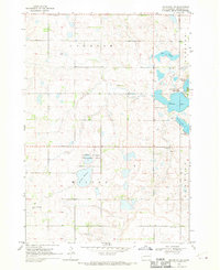
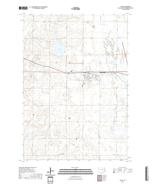
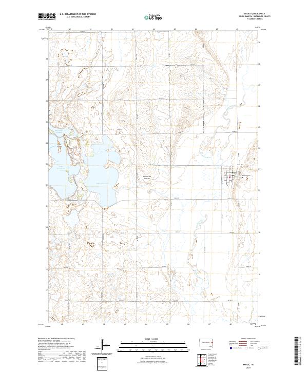 2021 Bruce2021 Print · USGSBruce and its surrounding Brookings County prairie are captured here in the early twenty-first century, showcasing the intersection of agricultural land and glacial lakes. Trace the local geography from the Big Sioux River to the shores of Lake Oakwood and Elmwood Cem.
End of results
Showing maps 1-24 of 24
Top cities near Oakwood Township
- Brookings historical maps
- Volga historical maps
- Medary historical maps
- Arlington historical maps
- Estelline historical maps
- Dempster historical maps
See more
Top neighborhoods of Oakwood Township
Frequently asked questions
- What are the different types of historical maps available for Oakwood Township?
- What is the oldest map of Oakwood Township?
- Where can I purchase historical maps of Oakwood Township for my home or office?
- Where can I download high-res historical maps of Oakwood Township?
- Are there historical topographic maps available for Oakwood Township?
- Is there historical aerial imagery available for Oakwood Township?
- Where are historical maps of Oakwood Township sourced from?