2000s (21st Century) Maps of East Hanson Township, South Dakota
Explore 16 historic maps of East Hanson Township from the 2000s (21st Century). These maps offer a rare glimpse into what life looked like during the 2000s — showing old roads, neighborhoods, homes, and landmarks that have changed or disappeared over time.
Whether you're researching your family's past, planning a metal detecting trip, or studying how East Hanson Township's landscape evolved across the 2000s, these high-resolution maps are a powerful tool for exploring the history of this region.
- Focus on a specific era: All maps on this page are from the 2000s, giving you a focused view of this time period.
- See what’s changed: Compare century-old streets, trails, and buildings to today's modern landscape using overlays and satellite layers.
- Research with precision: Use these maps for genealogy, historical research, land use analysis, or educational projects.
- View, download, or print: Maps are fully viewable online in high resolution, and can be downloaded or printed for your own records.
Start exploring East Hanson Township's history through authentic maps from the 2000s. This is your window into the past.
East Hanson Township, SD maps
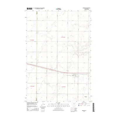
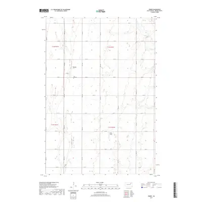
(16)- 2012 Map of Andover SW, 2012 Print
 2012 Andover SW2012 Print · USGSCovers East Hanson Township, including Bates Township, Brown County, and other nearby areas
 - 2012 Map of Andover, 2012 Print
 2012 Andover2012 Print · USGSCovers East Hanson Township, including Andover, Groton Township, and other nearby areas
 - 2012 Map of Groton, 2012 Print
 2012 Groton2012 Print · USGSCovers East Hanson Township, including Groton, West Hanson Township, and other nearby areas
 - 2012 Map of Ferney, 2012 Print
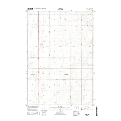
 2012 Ferney2012 Print · USGSCovers East Hanson Township, including Garden Prairie Township, Ferney, and other nearby areas
 - 2015 Map of Andover, 2015 Print
 2015 Andover2015 Print · USGSCovers East Hanson Township, including Andover, Groton Township, and other nearby areas
 - 2015 Map of Andover SW, 2015 Print
 2015 Andover SW2015 Print · USGSCovers East Hanson Township, including Bates Township, Brown County, and other nearby areas
 - 2015 Map of Ferney, 2015 Print
 2015 Ferney2015 Print · USGSCovers East Hanson Township, including Garden Prairie Township, Ferney, and other nearby areas
 - 2015 Map of Groton, 2015 Print
 2015 Groton2015 Print · USGSCovers East Hanson Township, including Groton, West Hanson Township, and other nearby areas
 - 2017 Map of Ferney, 2017 Print
 2017 Ferney2017 Print · USGSCovers East Hanson Township, including Garden Prairie Township, Ferney, and other nearby areas
 - 2017 Map of Groton, 2017 Print
 2017 Groton2017 Print · USGSCovers East Hanson Township, including Groton, West Hanson Township, and other nearby areas
 - 2017 Map of Andover SW, 2017 Print
 2017 Andover SW2017 Print · USGSCovers East Hanson Township, including Bates Township, Brown County, and other nearby areas
 - 2017 Map of Andover, 2017 Print
 2017 Andover2017 Print · USGSCovers East Hanson Township, including Andover, Groton Township, and other nearby areas
 - 2021 Map of Ferney, 2021 Print
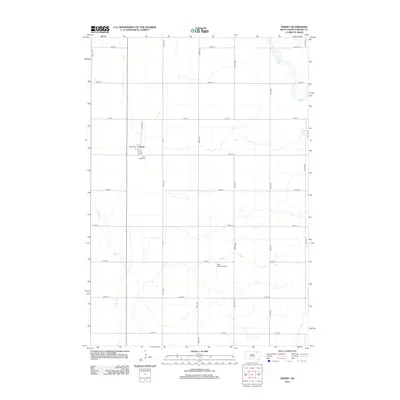
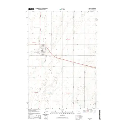
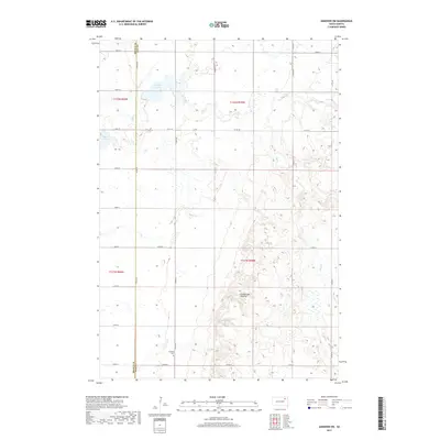
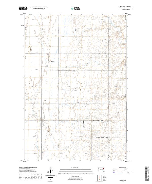 2021 Ferney2021 Print · USGSThe rural prairie of Brown County is captured here in the early twenty-first century, centered on the small community of Ferney. Researchers can locate family sites and local landmarks like Saint Pauls Cem, Verdon Cem, and the Hite Private Airport.
 - 2021 Map of Groton, 2021 Print
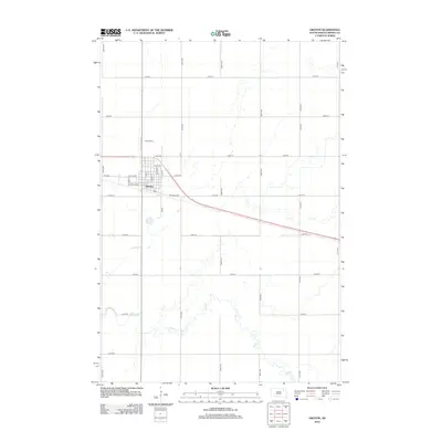
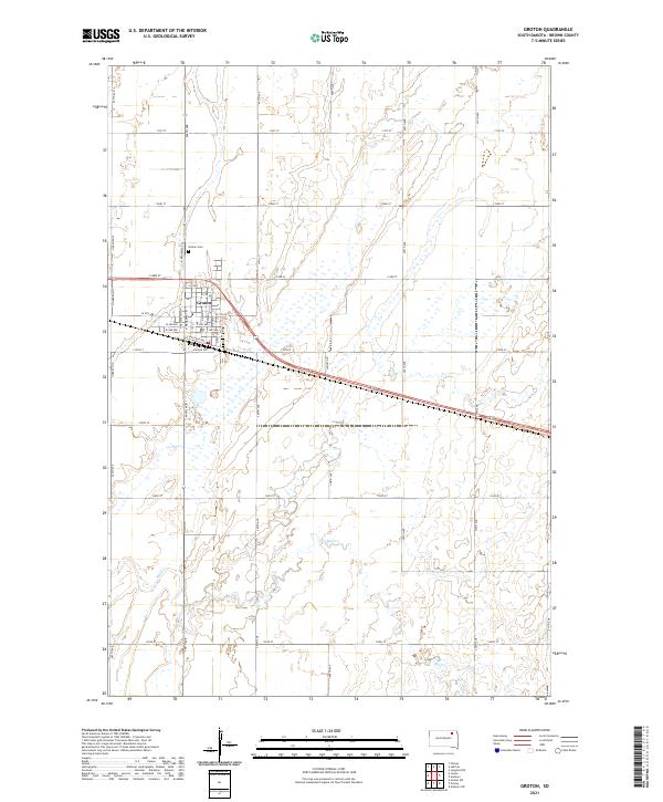 2021 Groton2021 Print · USGSThe agricultural plains of eastern South Dakota are documented in detail during the early twenty-first century. Researchers can trace the layout of Groton, locate the Groton Cem, and follow the meandering course of Mud Cr through the surrounding township sections.
 - 2021 Map of Andover SW, 2021 Print
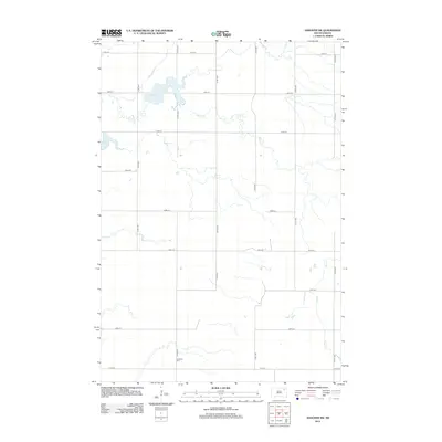
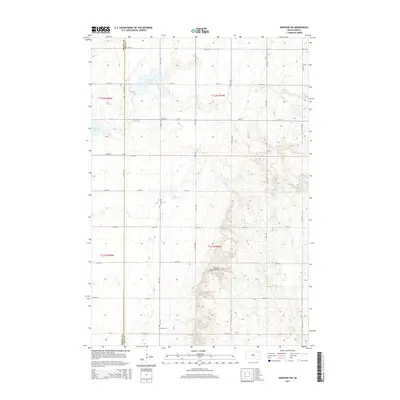
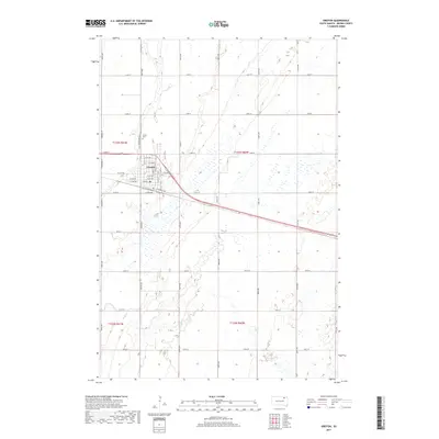
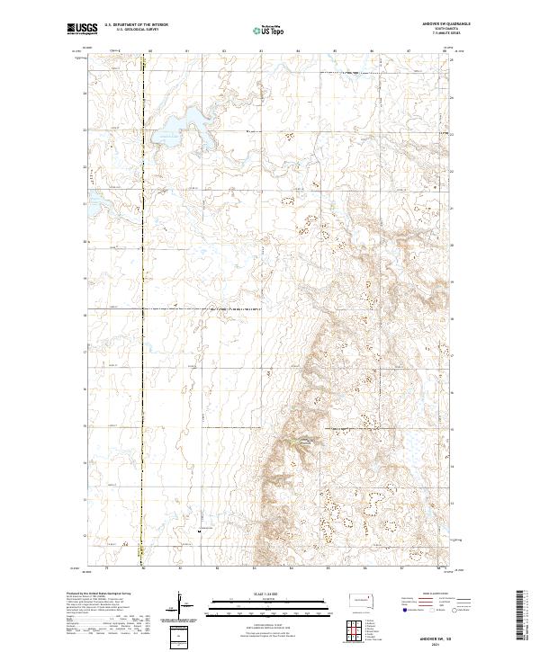 2021 Andover SW2021 Print · USGSThe glacial plateau of the Coteau des Prairies meets the Brown and Day county lines in this rural South Dakota survey. Researchers can trace family history at Scotland Cem or study the shorelines of Amsden Lake and Pigors Lake.
 - 2021 Map of Andover, 2021 Print
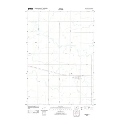
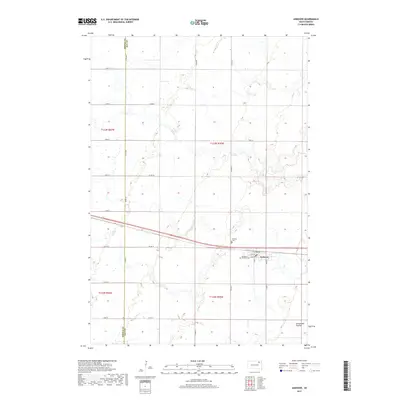
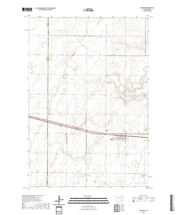 2021 Andover2021 Print · USGSAndover and the glaciated heights of the eastern plains are captured here in the early twenty-first century. Genealogists and local historians can trace family plots at Andover Cem or follow the township grid along the Brown Co Day Co line.
End of results
Showing maps 1-16 of 16
Top cities near East Hanson Township
- Groton historical maps
- Conde historical maps
- Pierpont historical maps
- Hutterville Colony historical maps
- Andover historical maps
- Putney historical maps
See more
Top neighborhoods of East Hanson Township
Frequently asked questions
- What are the different types of historical maps available for East Hanson Township?
- What is the oldest map of East Hanson Township?
- Where can I purchase historical maps of East Hanson Township for my home or office?
- Where can I download high-res historical maps of East Hanson Township?
- Are there historical topographic maps available for East Hanson Township?
- Is there historical aerial imagery available for East Hanson Township?
- Where are historical maps of East Hanson Township sourced from?