Old Maps of Garden Prairie Township, South Dakota for Genealogy
Trace your family roots with 25 historic maps of Garden Prairie Township. These high-res maps reveal old neighborhoods, homesites, landmarks, and streets — helping you uncover where your ancestors lived and how the area evolved over time.
- Explore historic neighborhoods: Identify where your relatives may have lived in the 1800s or 1900s.
- Compare maps over time: Trace the changes in streets, buildings, and landmarks for multi-generational research.
- Perfect for genealogy & ancestry research: Used by family historians and researchers to map out lineage and migration.
These maps are an incredible resource for exploring your personal connection to Garden Prairie Township's past.
Garden Prairie Township, SD maps
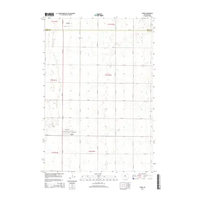
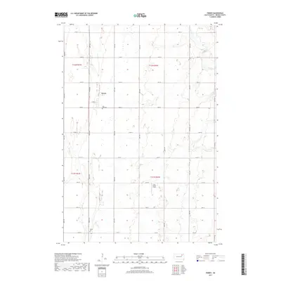
(25)- 1894 Map of Conde
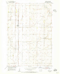
 1894 Conde1894 Print · USGSThe James River Valley region during the pioneer era of the 1890s reveals a landscape defined by the arrival of the rails. Trace the early township developments of Benton and Tetonka and locate early railway stops at Conde, Turton, and Verdon.
 - 1895 Map of Aberdeen
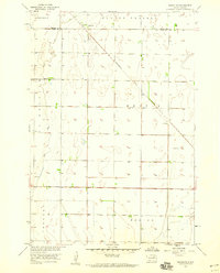
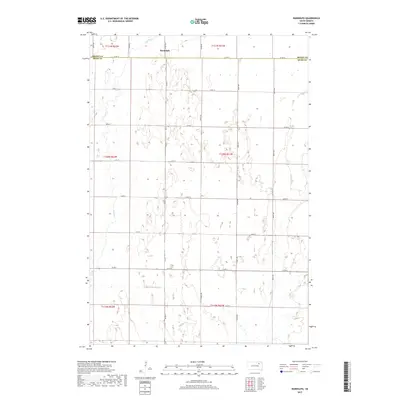
 1895 Aberdeen1895 Print · USGSNortheastern South Dakota was rapidly evolving in the 1890s as a vital railroad corridor through the James River Valley. Local historians and genealogists can trace the early layout of rail-side towns like Warner, Groton, and the burgeoning hub of Aberdeen.4 unique versions available
 - 1953 Map of Groton SW, 1955 Print
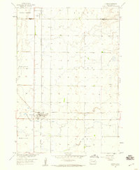
 1953 Groton SW1955 Print · USGSBrown County's agricultural heartland is captured here in the early fifties, showing a rural landscape organized by township sections. Genealogists can trace local history through a series of schoolhouses including Hanson Sch, School No 8, and the Minneapolis and St Louis railroad line.
 - 1954 Map of Ferney, 1955 Print
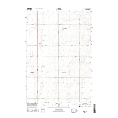
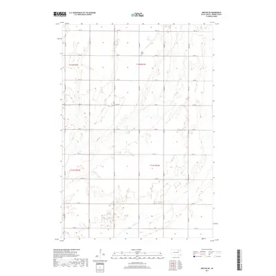
 1954 Ferney1955 Print · USGSBrown County farmland near the mid-century reveals a landscape of rural schools and rail-side settlements. Genealogists and historians can trace the foundations of Ferney or find old landmarks like St Pauls Cem, Haywood Sch, and Pigors Dam.
 - 1954 Map of Aberdeen, 1964 Print
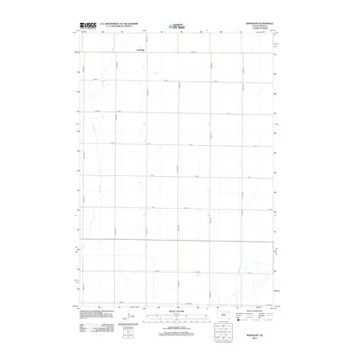
 1954 Aberdeen1964 Print · USGSNortheastern South Dakota in the mid-fifties remains a world of rail-dependent prairie towns and sweeping waterfowl refuges. Genealogists can trace family roots through settlements like Eureka and Ipswich or locate rural landmarks near Richmond Lake.2 unique versions available
 - 1956 Map of Aberdeen
 1956 Aberdeen1956 Print · USGSUpper South Dakota during the mid-fifties remains a landscape of rail-connected farming towns and expansive glacial lake basins. Genealogists and historians can trace the paths of the Minneapolis and St Louis railroad through Gettysburg or locate vanished stops near Elm Lake and Richmond Lake.
 - 1958 Map of Randolph, 1959 Print
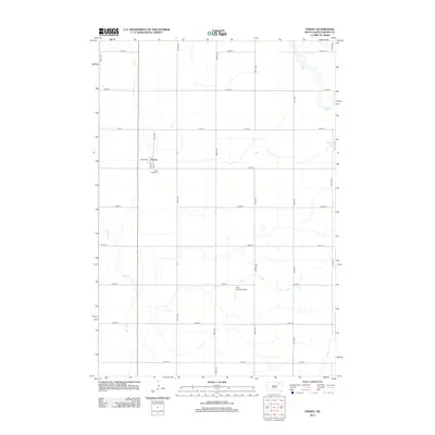
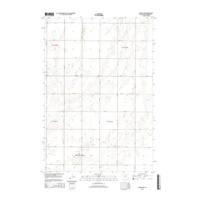
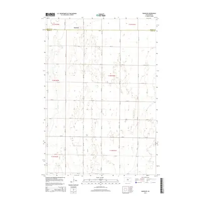
 1958 Randolph1959 Print · USGSSpink and Brown Counties are captured here in the late fifties, showing the rural structure of the South Dakota prairie. Genealogists and historians can trace the influence of the Minneapolis and St Louis railroad on local life near Randolph and Dry Run.
 - 1958 Map of Conde, 1960 Print
 1958 Conde1960 Print · USGSThe rail junction at Conde was a vital hub in the late fifties, where two major lines intersected in the heart of the prairie. Researchers can trace the layout of Verdon, locate the Verdon Cem, and see the path of the Minneapolis and St Louis railroad.
 - 1985 Map of Aberdeen
 1985 Aberdeen1985 Print · USGSThe James River valley of South Dakota is seen here in the mid-eighties, centered on the growing hub of Aberdeen. Genealogists and historians can trace the rail corridors of the Chicago and North Western or find rural landmarks like Bath Corner and South Scatterwood Lake.2 unique versions available
 - 2012 Map of Conde, 2012 Print
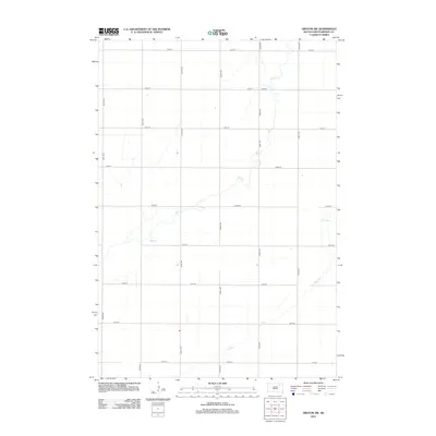
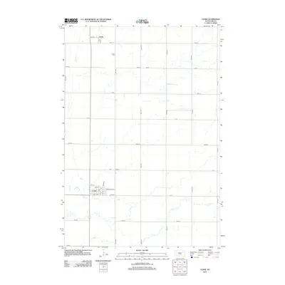 2012 Conde2012 Print · USGSCovers Garden Prairie Township, including Conde, Verdon, and other nearby areas
 - 2012 Map of Groton SW, 2012 Print
 2012 Groton SW2012 Print · USGSCovers Garden Prairie Township, including Hutterville Colony, Gem Township, and other nearby areas
 - 2012 Map of Ferney, 2012 Print
 2012 Ferney2012 Print · USGSCovers Garden Prairie Township, including Ferney, West Hanson Township, and other nearby areas
 - 2012 Map of Randolph, 2012 Print
 2012 Randolph2012 Print · USGSCovers Garden Prairie Township, including Tetonka Township, La Prairie Township, and other nearby areas
 - 2015 Map of Ferney, 2015 Print
 2015 Ferney2015 Print · USGSCovers Garden Prairie Township, including Ferney, West Hanson Township, and other nearby areas
 - 2015 Map of Groton SW, 2015 Print
 2015 Groton SW2015 Print · USGSCovers Garden Prairie Township, including Hutterville Colony, Gem Township, and other nearby areas
 - 2015 Map of Randolph, 2015 Print
 2015 Randolph2015 Print · USGSCovers Garden Prairie Township, including Tetonka Township, La Prairie Township, and other nearby areas
 - 2015 Map of Conde, 2015 Print
 2015 Conde2015 Print · USGSCovers Garden Prairie Township, including Conde, Verdon, and other nearby areas
 - 2017 Map of Groton SW, 2017 Print
 2017 Groton SW2017 Print · USGSCovers Garden Prairie Township, including Hutterville Colony, Gem Township, and other nearby areas
 - 2017 Map of Ferney, 2017 Print
 2017 Ferney2017 Print · USGSCovers Garden Prairie Township, including Ferney, West Hanson Township, and other nearby areas
 - 2017 Map of Randolph, 2017 Print
 2017 Randolph2017 Print · USGSCovers Garden Prairie Township, including Tetonka Township, La Prairie Township, and other nearby areas
 - 2017 Map of Conde, 2017 Print
 2017 Conde2017 Print · USGSCovers Garden Prairie Township, including Conde, Verdon, and other nearby areas
 - 2021 Map of Ferney, 2021 Print
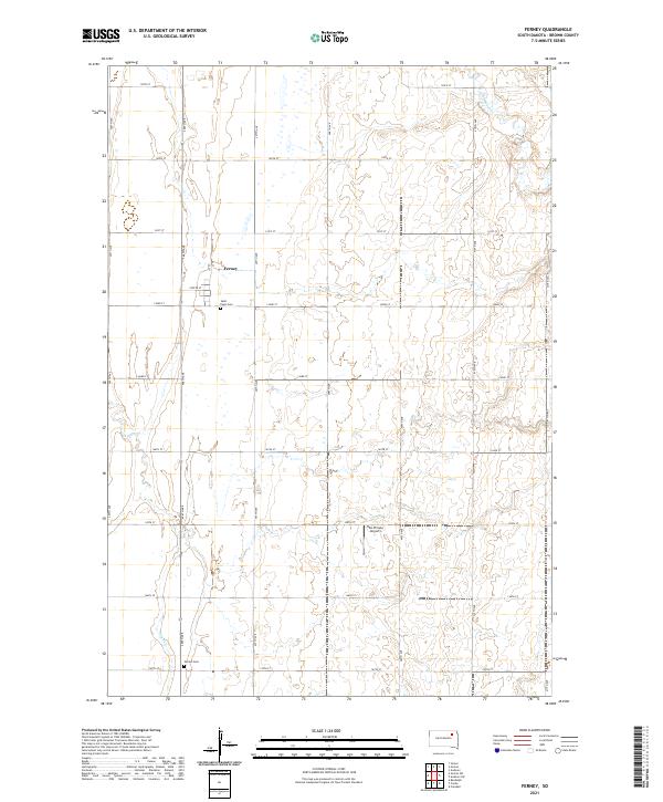 2021 Ferney2021 Print · USGSThe rural prairie of Brown County is captured here in the early twenty-first century, centered on the small community of Ferney. Researchers can locate family sites and local landmarks like Saint Pauls Cem, Verdon Cem, and the Hite Private Airport.
 - 2021 Map of Groton SW, 2021 Print
 2021 Groton SW2021 Print · USGSBrown County farmland is captured here in the early twenty-first century, showing the enduring grid of the South Dakota prairie. Researchers can locate the West Hanson Cem and trace the seasonal drainage of Mud Cr and Dry Run through the sections.
 - 2021 Map of Randolph, 2021 Print
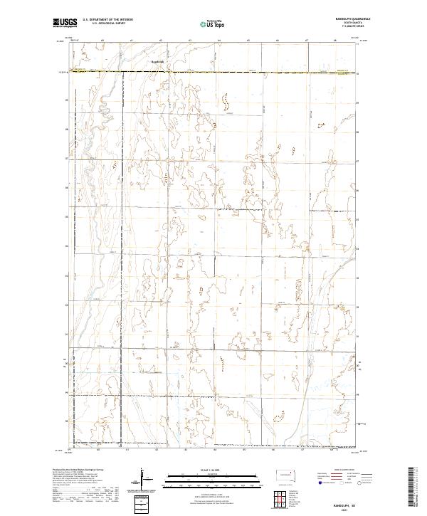 2021 Randolph2021 Print · USGSSpink County and Brown County meet in this agricultural landscape during the early twenty-first century. A researcher can trace the sparsely populated section lines around the settlement of Randolph or follow the drainage of Dry Run through the western plains.
 - 2021 Map of Conde, 2021 Print
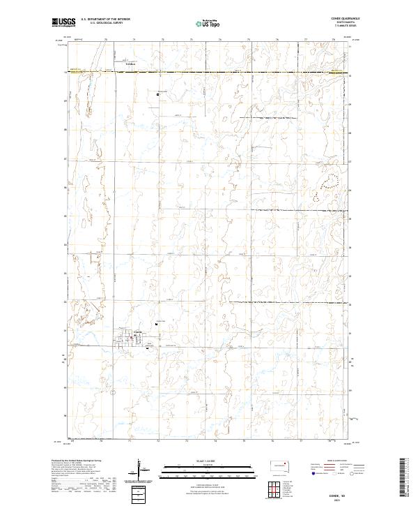 2021 Conde2021 Print · USGSSpink and Brown counties were well-established farming territories by the early twenty-first century. Genealogists and local historians can trace the town layouts of Conde and Verdon, as well as rural landmarks like Conde Cem and Saint John's Cem.
End of results
Showing maps 1-25 of 25
Top cities near Garden Prairie Township
- Groton historical maps
- Bath historical maps
- Conde historical maps
- Hutterville Colony historical maps
- Stratford historical maps
- Brentford historical maps
See more
Top neighborhoods of Garden Prairie Township
Frequently asked questions
- What are the different types of historical maps available for Garden Prairie Township?
- What is the oldest map of Garden Prairie Township?
- Where can I purchase historical maps of Garden Prairie Township for my home or office?
- Where can I download high-res historical maps of Garden Prairie Township?
- Are there historical topographic maps available for Garden Prairie Township?
- Is there historical aerial imagery available for Garden Prairie Township?
- Where are historical maps of Garden Prairie Township sourced from?