Old Maps of Savo Township, South Dakota for Hiking & Exploration
Hike through history with 27 historic maps of Savo Township. Explore old trails, ghost towns, and forgotten backroads — perfect for outdoor adventurers and local explorers.
- Rediscover forgotten places: Map out old mining camps, roads, and footpaths that no longer exist on modern maps.
- Layer with modern tools: Combine with LiDAR or satellite views to plan hikes through historical terrain.
- Made for exploration: Popular among hikers, overlanders, and local history lovers.
Use these maps to find adventure and explore the hidden past of Savo Township.
Savo Township, SD maps
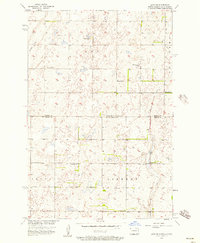
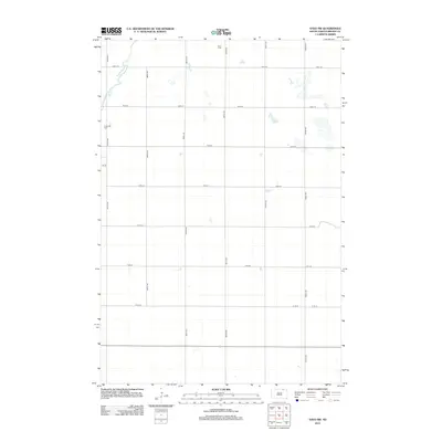
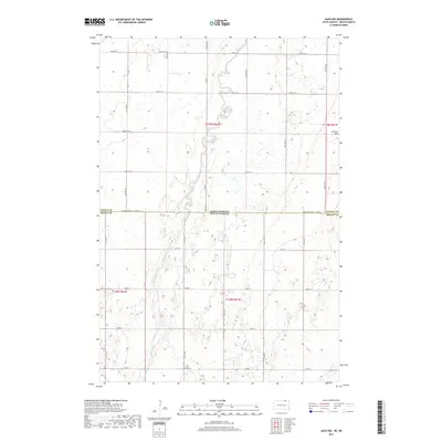
(27)- 1894 Map of Savo
 1894 Savo1894 Print · USGSThe Dakota borderlands come into focus in the early 1890s, capturing the early township organization and rail development of the prairie. Genealogists and historians can trace the paths of the Maple River and the C. M. & St. P. R. R. through Frederick and Oneota.
 - 1896 Map of Columbia
 1896 Columbia1896 Print · USGSSettlement along the upper James River valley flourished in the 1890s as railroads expanded through the Dakota Territory. Trace the rail-fed growth of Columbia and Hecla alongside the waters of Sand Lake and Lake Columbia.3 unique versions available
 - 1953 Map of Savo SW, 1955 Print
 1953 Savo SW1955 Print · USGSBrown County's rural townships are documented here in the early fifties, showing the settlement patterns of a Missouri River Basin community. Genealogists can locate family-named sites like Savo Cem and rural schools including Sumption Sch and School No 1.
 - 1953 Map of Savo SE, 1955 Print
 1953 Savo SE1955 Print · USGSBrown County's rural landscape is captured here in the early 1950s, showing the early infrastructure of the Sand Lake National Wildlife Refuge. Genealogists can trace local school locations such as Karlan Sch and Bushby Sch or the site of Houghton Dam.
 - 1954 Map of Aberdeen, 1964 Print
 1954 Aberdeen1964 Print · USGSNortheastern South Dakota in the mid-fifties remains a world of rail-dependent prairie towns and sweeping waterfowl refuges. Genealogists can trace family roots through settlements like Eureka and Ipswich or locate rural landmarks near Richmond Lake.2 unique versions available
 - 1956 Map of Aberdeen
 1956 Aberdeen1956 Print · USGSUpper South Dakota during the mid-fifties remains a landscape of rail-connected farming towns and expansive glacial lake basins. Genealogists and historians can trace the paths of the Minneapolis and St Louis railroad through Gettysburg or locate vanished stops near Elm Lake and Richmond Lake.
 - 1956 Map of Savo NE, 1957 Print
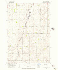
 1956 Savo NE1957 Print · USGSThe North Dakota and South Dakota borderlands come alive in the mid-fifties, showing a rural landscape of townships and school districts. Genealogists can trace family footprints near Finnish Ch, Youngman Sch, and the isolated Cem in Savo township.
 - 1956 Map of Savo NW, 1957 Print
 1956 Savo NW1957 Print · USGSThe North Dakota and South Dakota borderlands are captured here in the mid-fifties, showing the agricultural townships of Van Meter and Savo. Genealogists can locate family-named landmarks like Claeys Sch and Alatalo Sch or the local Finnish Ch.
 - 1985 Map of Elm River
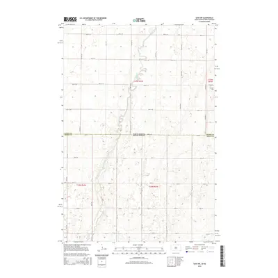
 1985 Elm River1985 Print · USGSSpanning the state line during the mid-eighties, this area shows a landscape of river-fed reservoirs and agricultural colonies. Genealogists and historians can locate communal settlements like Spring Creek Colony and rail stops along the Burlington Northern Railroad or the Chicago and North Western Railroad.2 unique versions available
 - 2011 Map of Savo NE, 2011 Print
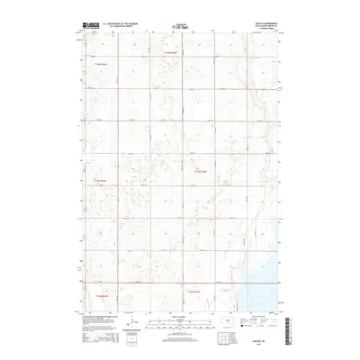
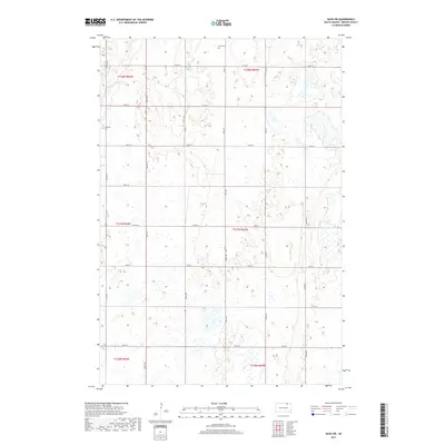
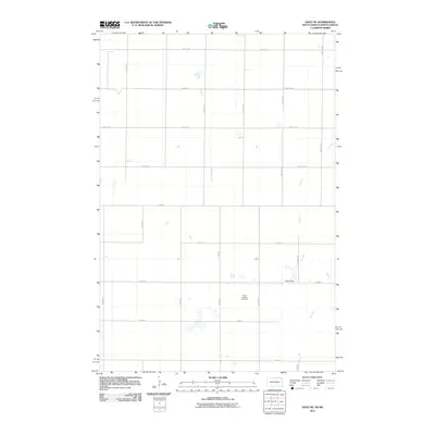 2011 Savo NE2011 Print · USGSCovers Savo Township, including Ada Township, Port Emma Township, and other nearby areas
 - 2011 Map of Savo NW, 2011 Print
 2011 Savo NW2011 Print · USGSCovers Savo Township, including Van Meter Township, Ada Township, and other nearby areas
 - 2012 Map of Savo SW, 2012 Print
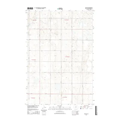
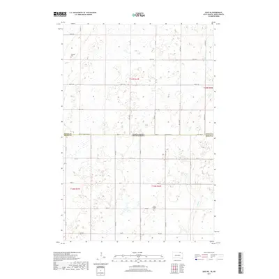
 2012 Savo SW2012 Print · USGSCovers Savo Township, including Frederick, Frederick Township, and other nearby areas
 - 2012 Map of Savo NE, 2012 Print
 2012 Savo NE2012 Print · USGSCovers Savo Township, including Ada Township, Port Emma Township, and other nearby areas
 - 2012 Map of Savo NW, 2012 Print
 2012 Savo NW2012 Print · USGSCovers Savo Township, including Van Meter Township, Ada Township, and other nearby areas
 - 2012 Map of Savo SE, 2012 Print
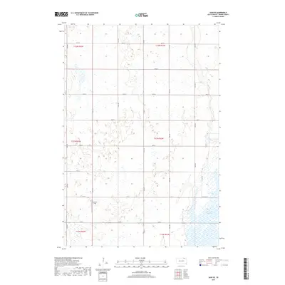
 2012 Savo SE2012 Print · USGSCovers Savo Township, including Greenfield Township, Brainard Township, and other nearby areas
 - 2015 Map of Savo SE, 2015 Print
 2015 Savo SE2015 Print · USGSCovers Savo Township, including Greenfield Township, Brainard Township, and other nearby areas
 - 2015 Map of Savo NW, 2015 Print
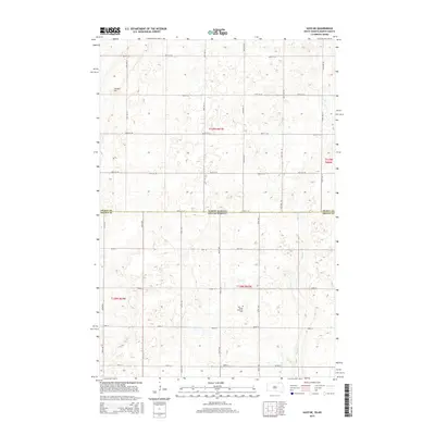
 2015 Savo NW2015 Print · USGSCovers Savo Township, including Van Meter Township, Ada Township, and other nearby areas
 - 2015 Map of Savo SW, 2015 Print
 2015 Savo SW2015 Print · USGSCovers Savo Township, including Frederick, Frederick Township, and other nearby areas
 - 2015 Map of Savo NE, 2015 Print
 2015 Savo NE2015 Print · USGSCovers Savo Township, including Ada Township, Port Emma Township, and other nearby areas
 - 2017 Map of Savo NW, 2017 Print
 2017 Savo NW2017 Print · USGSCovers Savo Township, including Van Meter Township, Ada Township, and other nearby areas
 - 2017 Map of Savo SW, 2017 Print
 2017 Savo SW2017 Print · USGSCovers Savo Township, including Frederick, Frederick Township, and other nearby areas
 - 2017 Map of Savo NE, 2017 Print
 2017 Savo NE2017 Print · USGSCovers Savo Township, including Ada Township, Port Emma Township, and other nearby areas
 - 2017 Map of Savo SE, 2017 Print
 2017 Savo SE2017 Print · USGSCovers Savo Township, including Greenfield Township, Brainard Township, and other nearby areas
 - 2021 Map of Savo SE, 2021 Print
 2021 Savo SE2021 Print · USGSNortheastern South Dakota's glaciated landscape is shown here in the early twenty-first century, centered on the James River valley. Genealogists and outdoor historians can trace rural section lines near Columbia Road Reservoir and the Auto Tour Rte.
 - 2021 Map of Savo NE, 2021 Print
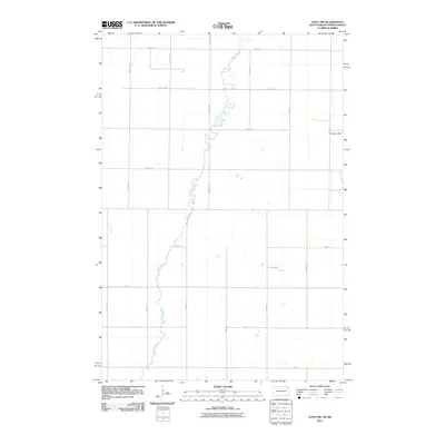
 2021 Savo NE2021 Print · USGSThe borderlands of the Dakotas appear as a structured prairie grid in the early twenty-first century. Researchers can trace family history at Peace Lutheran Cem and follow the natural course of Dry Run across the state line near Cannon Hill.
Showing maps 1-25 of 27
Top cities near Savo Township
Frequently asked questions
- What are the different types of historical maps available for Savo Township?
- What is the oldest map of Savo Township?
- Where can I purchase historical maps of Savo Township for my home or office?
- Where can I download high-res historical maps of Savo Township?
- Are there historical topographic maps available for Savo Township?
- Is there historical aerial imagery available for Savo Township?
- Where are historical maps of Savo Township sourced from?