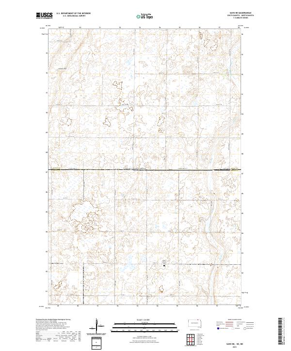
2021 Map of Savo NE
USGS Topo · Published 2021About this map
North Dakota and South Dakota meet along a surveyed line marked by State Line Rd, dividing this prairie landscape between Dickey County and Brown County. The terrain is defined by a dense network of seasonal wetlands and small water bodies, with the prominent Cannon Hill rising above the surrounding flats in the northwest. This area exhibits the rigid geometry of the Public Land Survey System, with roads like 393rd Ave and 101st St following section lines across the agricultural grid. A notable local landmark for genealogists and historians is the Peace Lutheran Cem in the southern half of the quadrangle. The intermittent drainage of Dry Run meanders across the eastern sections, illustrating the natural drainage patterns that persist despite the extensive road and township development.
Find a feature on this map
31 named features on this map. Tap any name to fly to it.
Don’t see what you’re looking for? This feature index may not catch every label — zoom into the map to look around manually.
Map Details
Editions of this 2021 Savo NE Map
This is the sole edition of this map. No revisions or reprints were ever made.
Other maps of this area

1894 · Hecla
USGS Topo · 1:62,500

1894 · Savo
USGS Topo · 1:62,500

1894 · Fullerton
USGS Topo · 1:62,500

1894 · Oakes
USGS Topo · 1:62,500

1895 · Lamoure
USGS Topo · 1:125,000

1896 · Columbia
USGS Topo · 1:125,000

1918 · La Moure
USGS Topo · 1:125,000

1953 · Jamestown
USGS Topo · 1:250,000

1953 · Savo SW
USGS Topo · 1:24,000

1953 · Houghton
USGS Topo · 1:24,000