Old Maps of Liberty Township, South Dakota
Explore 28 old maps of Liberty Township, spanning from 1894 to today. These high-resolution historic maps reveal how streets, neighborhoods, landmarks, and natural features evolved over time — perfect for genealogy, metal detecting, research, and local history exploration.
What you can do with these maps:
- See how Liberty Township changed over time: Compare historical maps to modern-day views to trace roads, homesites, rail lines & more.
- View detailed metadata: Each map includes creators, publishers, year, scale, and archive source.
- Overlay maps with satellite & LiDAR: Visualize the past alongside modern tools to explore terrain & human change.
- Trusted historical sources: Maps sourced from the USGS, Library of Congress, and other archives.
- Access maps your way: View online, download high-res files, or order prints for personal or research use.
Start exploring old maps of Liberty Township to uncover forgotten places, hidden landmarks, and the deep history beneath your feet.
Liberty Township, SD maps
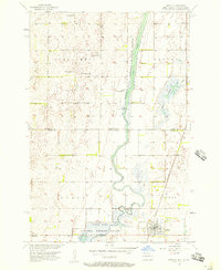
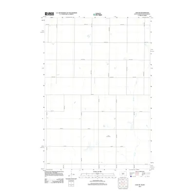
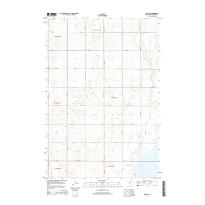
(28)- 1894 Map of Hecla
 1894 Hecla1894 Print · USGSThe northern Dakota plains are captured here in the 1890s as the rail and river determined the pulse of new settlements. Genealogists and historians can trace the early township grids and rail stops like Hecla, Houghton, and the frontier hamlet of Detroit.4 unique versions available
 - 1894 Map of Savo
 1894 Savo1894 Print · USGSThe Dakota borderlands come into focus in the early 1890s, capturing the early township organization and rail development of the prairie. Genealogists and historians can trace the paths of the Maple River and the C. M. & St. P. R. R. through Frederick and Oneota.
 - 1896 Map of Columbia
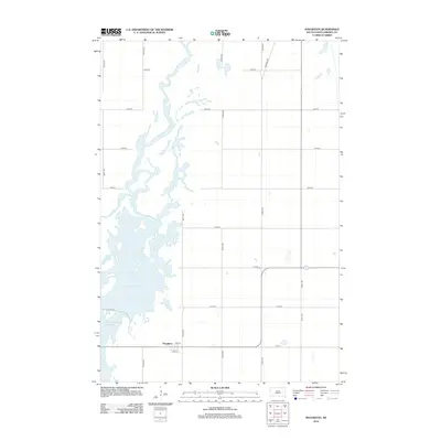
 1896 Columbia1896 Print · USGSSettlement along the upper James River valley flourished in the 1890s as railroads expanded through the Dakota Territory. Trace the rail-fed growth of Columbia and Hecla alongside the waters of Sand Lake and Lake Columbia.3 unique versions available
 - 1953 Map of Houghton, 1955 Print
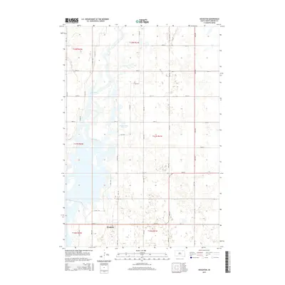
 1953 Houghton1955 Print · USGSBrown County's marshy James River valley is captured here in the early fifties during the development of the Missouri River Basin project. Genealogists and researchers can locate the village of Houghton, local landmarks like Fangon Sch, and the extensive Sand Lake Reservoir.2 unique versions available
 - 1953 Map of Savo SE, 1955 Print
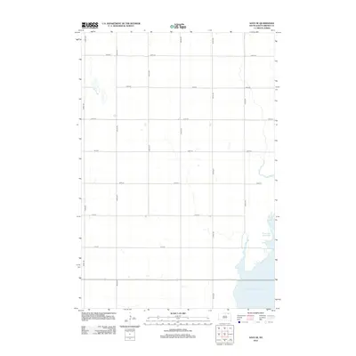
 1953 Savo SE1955 Print · USGSBrown County's rural landscape is captured here in the early 1950s, showing the early infrastructure of the Sand Lake National Wildlife Refuge. Genealogists can trace local school locations such as Karlan Sch and Bushby Sch or the site of Houghton Dam.
 - 1954 Map of Aberdeen, 1964 Print
 1954 Aberdeen1964 Print · USGSNortheastern South Dakota in the mid-fifties remains a world of rail-dependent prairie towns and sweeping waterfowl refuges. Genealogists can trace family roots through settlements like Eureka and Ipswich or locate rural landmarks near Richmond Lake.2 unique versions available
 - 1956 Map of Aberdeen
 1956 Aberdeen1956 Print · USGSUpper South Dakota during the mid-fifties remains a landscape of rail-connected farming towns and expansive glacial lake basins. Genealogists and historians can trace the paths of the Minneapolis and St Louis railroad through Gettysburg or locate vanished stops near Elm Lake and Richmond Lake.
 - 1956 Map of Hecla, 1957 Print
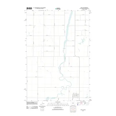
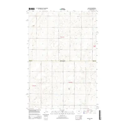
 1956 Hecla1957 Print · USGSThe James River valley at the North Dakota and South Dakota border is shown here in the mid-1950s as a balance of rail-side town life and managed wetlands. Researchers can locate the Hecla townsite, the Bell Sch, and the Chicago and Northwestern rail line.
 - 1956 Map of Savo NE, 1957 Print
 1956 Savo NE1957 Print · USGSThe North Dakota and South Dakota borderlands come alive in the mid-fifties, showing a rural landscape of townships and school districts. Genealogists can trace family footprints near Finnish Ch, Youngman Sch, and the isolated Cem in Savo township.
 - 1985 Map of Elm River
 1985 Elm River1985 Print · USGSSpanning the state line during the mid-eighties, this area shows a landscape of river-fed reservoirs and agricultural colonies. Genealogists and historians can locate communal settlements like Spring Creek Colony and rail stops along the Burlington Northern Railroad or the Chicago and North Western Railroad.2 unique versions available
 - 2011 Map of Savo NE, 2011 Print
 2011 Savo NE2011 Print · USGSCovers Liberty Township, including Savo Township, Ada Township, and other nearby areas
 - 2011 Map of Hecla, 2011 Print
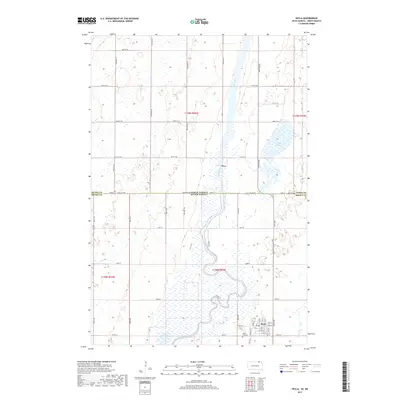
 2011 Hecla2011 Print · USGSCovers Liberty Township, including Hecla, Lovell Township, and other nearby areas
 - 2012 Map of Savo NE, 2012 Print
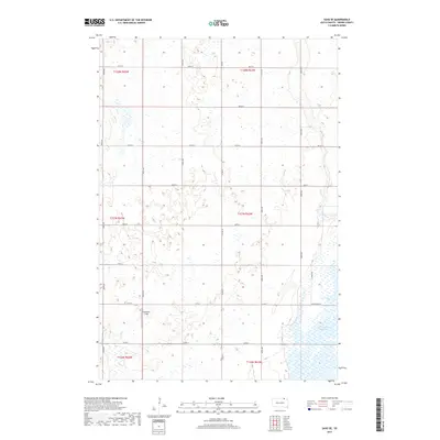
 2012 Savo NE2012 Print · USGSCovers Liberty Township, including Savo Township, Ada Township, and other nearby areas
 - 2012 Map of Hecla, 2012 Print
 2012 Hecla2012 Print · USGSCovers Liberty Township, including Hecla, Lovell Township, and other nearby areas
 - 2012 Map of Houghton, 2012 Print
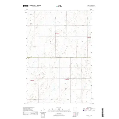
 2012 Houghton2012 Print · USGSCovers Liberty Township, including Hecla Township, Greenfield Township, and other nearby areas
 - 2012 Map of Savo SE, 2012 Print
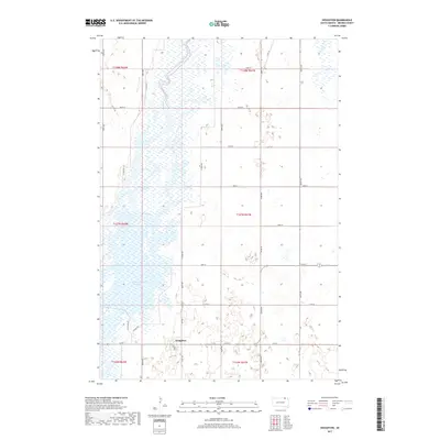
 2012 Savo SE2012 Print · USGSCovers Liberty Township, including Savo Township, Greenfield Township, and other nearby areas
 - 2015 Map of Savo SE, 2015 Print
 2015 Savo SE2015 Print · USGSCovers Liberty Township, including Savo Township, Greenfield Township, and other nearby areas
 - 2015 Map of Houghton, 2015 Print
 2015 Houghton2015 Print · USGSCovers Liberty Township, including Hecla Township, Greenfield Township, and other nearby areas
 - 2015 Map of Savo NE, 2015 Print
 2015 Savo NE2015 Print · USGSCovers Liberty Township, including Savo Township, Ada Township, and other nearby areas
 - 2015 Map of Hecla, 2015 Print
 2015 Hecla2015 Print · USGSCovers Liberty Township, including Hecla, Lovell Township, and other nearby areas
 - 2017 Map of Hecla, 2017 Print
 2017 Hecla2017 Print · USGSCovers Liberty Township, including Hecla, Lovell Township, and other nearby areas
 - 2017 Map of Savo NE, 2017 Print
 2017 Savo NE2017 Print · USGSCovers Liberty Township, including Savo Township, Ada Township, and other nearby areas
 - 2017 Map of Houghton, 2017 Print
 2017 Houghton2017 Print · USGSCovers Liberty Township, including Hecla Township, Greenfield Township, and other nearby areas
 - 2017 Map of Savo SE, 2017 Print
 2017 Savo SE2017 Print · USGSCovers Liberty Township, including Savo Township, Greenfield Township, and other nearby areas
 - 2021 Map of Houghton, 2021 Print
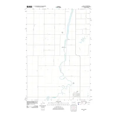
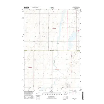
 2021 Houghton2021 Print · USGSBrown County, South Dakota, is captured here in the early 2020s, showcasing the prairie landscape along the James River. Researchers can trace local landmarks like Houghton, the Columbia Road Reservoir, and the rail-aligned Railway St.
Showing maps 1-25 of 28
Top cities near Liberty Township
Frequently asked questions
- What are the different types of historical maps available for Liberty Township?
- What is the oldest map of Liberty Township?
- Where can I purchase historical maps of Liberty Township for my home or office?
- Where can I download high-res historical maps of Liberty Township?
- Are there historical topographic maps available for Liberty Township?
- Is there historical aerial imagery available for Liberty Township?
- Where are historical maps of Liberty Township sourced from?