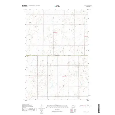
2017 Map of Savo NE
USGS Topo · Published 2017About this map
Brown County and Dickey County meet along the border of South Dakota and North Dakota in this 2017 survey of the Savo region. The landscape is defined by the ephemeral drainage of Dry Run, which meanders across the eastern portion of the quadrangle through a terrain dotted with numerous prairie potholes and seasonal wetlands. These topographical depressions, common to the Glaciated Plains, create a complex water network across the township lines of T128N and T129N. Section lines and rural roads such as 101st St and 99th St SE structure the agricultural grid, providing a clear view of the modern land divisions that have organized this high-plains farming country for generations.
Find a feature on this map
1 named feature on this map. Tap any name to fly to it.
Don’t see what you’re looking for? This feature index may not catch every label — zoom into the map to look around manually.
Map Details
Editions of this 2017 Savo NE Map
This is the sole edition of this map. No revisions or reprints were ever made.
Other maps of this area

1894 · Hecla
USGS Topo · 1:62,500

1894 · Savo
USGS Topo · 1:62,500

1894 · Fullerton
USGS Topo · 1:62,500

1894 · Oakes
USGS Topo · 1:62,500

1895 · Lamoure
USGS Topo · 1:125,000

1896 · Columbia
USGS Topo · 1:125,000

1918 · La Moure
USGS Topo · 1:125,000

1953 · Jamestown
USGS Topo · 1:250,000

1953 · Savo SW
USGS Topo · 1:24,000

1953 · Houghton
USGS Topo · 1:24,000